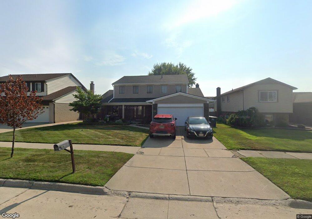
9729 Sil St Taylor, MI 48180
Estimated Value: $316,000 - $341,000
Studio
1
Bath
2,212
Sq Ft
$151/Sq Ft
Est. Value
About This Home
This home is located at 9729 Sil St, Taylor, MI 48180 and is currently estimated at $333,672, approximately $150 per square foot. 9729 Sil St is a home located in Wayne County with nearby schools including Koch Elementary School, Holland Elementary School, and Hoover Middle School.
Ownership History
Date
Name
Owned For
Owner Type
Purchase Details
Closed on
Mar 24, 2006
Sold by
Comerica Bank
Bought by
Carter Rodney D
Current Estimated Value
Purchase Details
Closed on
May 19, 2004
Sold by
Meddings Leonard H and Meddings Leonard
Bought by
Comerica Bank
Purchase Details
Closed on
Mar 3, 2004
Sold by
Meddings Leonard H
Bought by
Federal Home Loan Mortgage Corporation
Purchase Details
Closed on
Jan 21, 1999
Sold by
Jordan John T
Bought by
Meddings Leonard H
Create a Home Valuation Report for This Property
The Home Valuation Report is an in-depth analysis detailing your home's value as well as a comparison with similar homes in the area
Home Values in the Area
Average Home Value in this Area
Purchase History
| Date | Buyer | Sale Price | Title Company |
|---|---|---|---|
| Carter Rodney D | $194,000 | Central Title & Metropolitan | |
| Comerica Bank | $191,858 | -- | |
| Federal Home Loan Mortgage Corporation | $132,325 | -- | |
| Meddings Leonard H | $171,000 | -- |
Source: Public Records
Tax History Compared to Growth
Tax History
| Year | Tax Paid | Tax Assessment Tax Assessment Total Assessment is a certain percentage of the fair market value that is determined by local assessors to be the total taxable value of land and additions on the property. | Land | Improvement |
|---|---|---|---|---|
| 2025 | $2,964 | $178,700 | $0 | $0 |
| 2024 | $2,870 | $150,300 | $0 | $0 |
| 2023 | $3,481 | $135,500 | $0 | $0 |
| 2022 | $2,739 | $122,600 | $0 | $0 |
| 2021 | $3,066 | $113,300 | $0 | $0 |
| 2020 | $3,037 | $104,300 | $0 | $0 |
| 2019 | $303,588 | $96,800 | $0 | $0 |
| 2018 | $2,352 | $82,700 | $0 | $0 |
| 2017 | $1,599 | $78,800 | $0 | $0 |
| 2016 | $3,430 | $76,500 | $0 | $0 |
| 2015 | $5,314 | $60,800 | $0 | $0 |
| 2013 | $5,300 | $54,000 | $0 | $0 |
| 2012 | $2,347 | $53,600 | $15,300 | $38,300 |
Source: Public Records
Map
Nearby Homes
- 9828 Rose St
- 9416 Princess St
- 9756 Janet St
- 25889 Maple Dr
- 25315 Baker St
- 25341 Kinyon St
- 8883 Beech Daly Rd
- 0 Goddard Unit 20251010304
- 25519 Rusty St
- 8853 Beech Daly Rd
- Bayberry Plan at Cypress Garden
- Bannister Plan at Cypress Garden
- Cypress Plan at Cypress Garden
- Evanston IV Plan at Cypress Garden
- Cedar III Plan at Cypress Garden
- Aspen Plan at Cypress Garden
- Evanston III Plan at Cypress Garden
- Cedar IV Plan at Cypress Garden
- 10440 Michael St
- 11098 Partridge Dr Unit 12