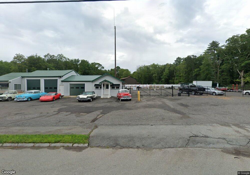
972A State Rd Westport, MA 02790
North Westport NeighborhoodEstimated Value: $484,000 - $530,000
4
Beds
2
Baths
2,548
Sq Ft
$199/Sq Ft
Est. Value
About This Home
This home is located at 972A State Rd, Westport, MA 02790 and is currently estimated at $506,643, approximately $198 per square foot. 972A State Rd is a home located in Bristol County with nearby schools including Alice A. Macomber Primary School, Westport Elementary School, and Westport Middle-High School.
Ownership History
Date
Name
Owned For
Owner Type
Purchase Details
Closed on
Jul 12, 2021
Sold by
Messier Real Estate Llc
Bought by
S F Enterprises Llc
Current Estimated Value
Home Financials for this Owner
Home Financials are based on the most recent Mortgage that was taken out on this home.
Original Mortgage
$272,000
Outstanding Balance
$245,187
Interest Rate
2.9%
Mortgage Type
Purchase Money Mortgage
Estimated Equity
$261,456
Purchase Details
Closed on
Feb 3, 2021
Sold by
Messier Robert A
Bought by
Messier Real Estate Llc
Create a Home Valuation Report for This Property
The Home Valuation Report is an in-depth analysis detailing your home's value as well as a comparison with similar homes in the area
Home Values in the Area
Average Home Value in this Area
Purchase History
| Date | Buyer | Sale Price | Title Company |
|---|---|---|---|
| S F Enterprises Llc | $340,000 | None Available | |
| Messier Real Estate Llc | -- | None Available |
Source: Public Records
Mortgage History
| Date | Status | Borrower | Loan Amount |
|---|---|---|---|
| Open | S F Enterprises Llc | $272,000 |
Source: Public Records
Tax History
| Year | Tax Paid | Tax Assessment Tax Assessment Total Assessment is a certain percentage of the fair market value that is determined by local assessors to be the total taxable value of land and additions on the property. | Land | Improvement |
|---|---|---|---|---|
| 2025 | $3,651 | $490,100 | $167,600 | $322,500 |
| 2024 | $3,669 | $474,600 | $156,700 | $317,900 |
| 2023 | $2,979 | $365,100 | $134,400 | $230,700 |
| 2022 | $2,957 | $348,700 | $134,400 | $214,300 |
| 2021 | $2,837 | $329,100 | $123,800 | $205,300 |
| 2020 | $2,738 | $324,800 | $119,500 | $205,300 |
| 2019 | $2,691 | $325,400 | $126,500 | $198,900 |
| 2018 | $2,735 | $334,800 | $146,300 | $188,500 |
| 2017 | $2,594 | $325,500 | $146,300 | $179,200 |
| 2016 | $2,466 | $311,800 | $146,300 | $165,500 |
| 2015 | $2,511 | $316,600 | $146,300 | $170,300 |
Source: Public Records
Map
Nearby Homes
- 15 S Breault St
- 565 Highland Ave
- 16 Lenox Ave
- 2 Fieldstone Dr
- 2 Van Buren St
- 2 Winterberry Ln
- 13 3rd Ave
- 21 Evergreen St
- 116 Gifford Rd
- 588 Gifford Rd
- 818 Reed Rd
- 3 Roller Coaster Way Unit Lot 1
- 0 American Legion Hwy Unit 73473517
- 162 Reed Rd
- 0 Hertitage Acres
- 1276 Old Fall River Rd
- 19 Charles Joseph Dr
- 2 Donna Marie Dr
- 441 Old County Rd
- 100 D Dr
- 972 State Rd
- 972 State Rd Unit 1
- 972 State Rd Unit A
- 972 State Rd
- 960 State Rd
- 956 State Rd
- 992 State Rd
- 983 State Rd
- 985 State Rd
- 1002 State Rd
- 33 State Rd
- 41 N Berryman St
- 1005 State Rd
- Lot A Russell St
- LOT 4 Russell Ave
- LOT 3 Russell Ave
- 00 Russell St
- 0 Russell St Unit 71538167
- 0 Russell St Unit 71582040
- 0 Russell St Unit 1012303
Your Personal Tour Guide
Ask me questions while you tour the home.