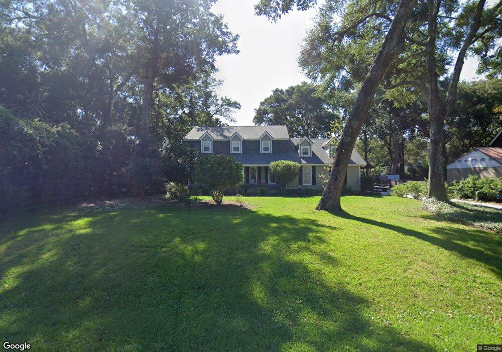
973 Anchor Rd Charleston, SC 29412
James Island NeighborhoodEstimated Value: $715,000 - $1,099,000
4
Beds
3
Baths
3,143
Sq Ft
$300/Sq Ft
Est. Value
About This Home
This home is located at 973 Anchor Rd, Charleston, SC 29412 and is currently estimated at $943,150, approximately $300 per square foot. 973 Anchor Rd is a home located in Charleston County with nearby schools including Stiles Point Elementary School, Camp Road Middle, and James Island Charter High School.
Ownership History
Date
Name
Owned For
Owner Type
Purchase Details
Closed on
Apr 6, 2020
Sold by
Papera Chris
Bought by
Rlt Christopher Papera
Current Estimated Value
Purchase Details
Closed on
Apr 30, 2008
Sold by
Kirkpatrick Thomas S and Stafford Charles D
Bought by
Papera Chris
Purchase Details
Closed on
Nov 14, 2005
Sold by
Wade Gerald F
Bought by
Kirkpatrick Thomas S and Stafford Charles D
Purchase Details
Closed on
Jun 26, 2003
Sold by
Jackson Shirley C and Pilcher Shirley
Bought by
Wade Gerald F
Purchase Details
Closed on
Jun 19, 2003
Sold by
Jackson G L
Bought by
Jackson Shirley C
Create a Home Valuation Report for This Property
The Home Valuation Report is an in-depth analysis detailing your home's value as well as a comparison with similar homes in the area
Home Values in the Area
Average Home Value in this Area
Purchase History
| Date | Buyer | Sale Price | Title Company |
|---|---|---|---|
| Rlt Christopher Papera | -- | None Available | |
| Papera Chris | $525,000 | -- | |
| Kirkpatrick Thomas S | $355,000 | None Available | |
| Wade Gerald F | $272,000 | -- | |
| Jackson Shirley C | -- | -- |
Source: Public Records
Tax History Compared to Growth
Tax History
| Year | Tax Paid | Tax Assessment Tax Assessment Total Assessment is a certain percentage of the fair market value that is determined by local assessors to be the total taxable value of land and additions on the property. | Land | Improvement |
|---|---|---|---|---|
| 2024 | $2,194 | $18,810 | $0 | $0 |
| 2023 | $2,194 | $18,810 | $0 | $0 |
| 2022 | $2,006 | $18,810 | $0 | $0 |
| 2021 | $2,152 | $18,810 | $0 | $0 |
| 2020 | $2,177 | $18,810 | $0 | $0 |
| 2019 | $2,012 | $16,620 | $0 | $0 |
| 2017 | $2,141 | $16,620 | $0 | $0 |
| 2016 | $2,049 | $16,620 | $0 | $0 |
| 2015 | $2,137 | $16,620 | $0 | $0 |
| 2014 | $2,183 | $0 | $0 | $0 |
| 2011 | -- | $0 | $0 | $0 |
Source: Public Records
Map
Nearby Homes
- 965 Mooring Dr
- 954 Harbortowne Rd
- 939 Mikell Dr
- 800 Heyward Cove Place
- 865 Duvall St
- 1013 Jamsie Cove Dr
- 804 Porcari St
- 816 Porcari St
- 969 Harbor View Rd
- 975 Harbor View Rd
- 1024 Greenhill Rd
- 1032 Greenhill Rd Unit A
- 525 Yellow Tower Terrace
- 938 White Marlin Dr
- 1102 Williams Rd
- 1129 Quail Dr
- 1120 Seaside Ln
- 777 Lake Frances Dr
- 1098 Blue Marlin Dr
- 1149 Quail Dr