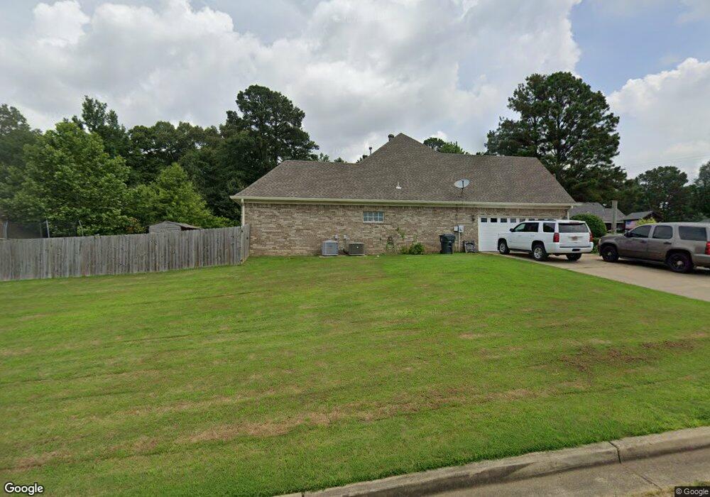
973 Green T Blvd W Hernando, MS 38632
Estimated Value: $339,164 - $346,000
3
Beds
2
Baths
2,229
Sq Ft
$154/Sq Ft
Est. Value
About This Home
This home is located at 973 Green T Blvd W, Hernando, MS 38632 and is currently estimated at $342,291, approximately $153 per square foot. 973 Green T Blvd W is a home located in DeSoto County with nearby schools including Oak Grove Central Elementary School, Hernando Hills Elementary, and Hernando Elementary School.
Ownership History
Date
Name
Owned For
Owner Type
Purchase Details
Closed on
Dec 14, 2016
Sold by
Harris Amanda K and Harris Cecil W
Bought by
Fennell Alec C and Fennell Jennifer L
Current Estimated Value
Home Financials for this Owner
Home Financials are based on the most recent Mortgage that was taken out on this home.
Original Mortgage
$189,012
Outstanding Balance
$153,401
Interest Rate
3.94%
Mortgage Type
FHA
Estimated Equity
$188,890
Purchase Details
Closed on
Jul 16, 2013
Sold by
Harris Cecil W and Harris Amenda K
Bought by
Harris Cecil W and Harris Amanda K
Home Financials for this Owner
Home Financials are based on the most recent Mortgage that was taken out on this home.
Original Mortgage
$187,100
Interest Rate
4%
Mortgage Type
New Conventional
Create a Home Valuation Report for This Property
The Home Valuation Report is an in-depth analysis detailing your home's value as well as a comparison with similar homes in the area
Home Values in the Area
Average Home Value in this Area
Purchase History
| Date | Buyer | Sale Price | Title Company |
|---|---|---|---|
| Fennell Alec C | -- | Attorney | |
| Harris Cecil W | -- | None Available |
Source: Public Records
Mortgage History
| Date | Status | Borrower | Loan Amount |
|---|---|---|---|
| Open | Fennell Alec C | $189,012 | |
| Previous Owner | Harris Cecil W | $187,100 |
Source: Public Records
Tax History
| Year | Tax Paid | Tax Assessment Tax Assessment Total Assessment is a certain percentage of the fair market value that is determined by local assessors to be the total taxable value of land and additions on the property. | Land | Improvement |
|---|---|---|---|---|
| 2025 | $2,257 | $21,949 | $3,000 | $18,949 |
| 2024 | $1,930 | $16,071 | $3,000 | $13,071 |
| 2023 | $1,930 | $16,071 | $0 | $0 |
| 2022 | $1,930 | $16,071 | $3,000 | $13,071 |
| 2021 | $1,930 | $16,071 | $3,000 | $13,071 |
| 2020 | $1,784 | $15,022 | $3,000 | $12,022 |
| 2019 | $1,784 | $15,022 | $3,000 | $12,022 |
| 2017 | $1,840 | $27,692 | $15,346 | $12,346 |
| 2016 | $1,750 | $15,345 | $3,000 | $12,345 |
| 2015 | $2,050 | $27,690 | $15,345 | $12,345 |
| 2014 | $1,702 | $15,345 | $0 | $0 |
| 2013 | $1,856 | $15,345 | $0 | $0 |
Source: Public Records
Map
Nearby Homes
- 1070 Green T Lake W
- 445 Augusta Dr
- 208 Elkwood Ln
- 124 Pebble Creek Cove E
- 691 Green T Lake W
- 604 Rowan Oak Place
- 1123 Tara Dr
- 729 Mossy Oak Cove
- 372 Fawn Grove Trail
- 650 Fairway Dr
- 723 Fairway Trail
- 833 Martin Cir N
- 67 Shady Lane Cove E
- 112 Forked Creek Pkwy
- 990 Eagle Ridge Cove
- 911 Clair Cove
- 159 Lindsey Dr
- 1268 S Lake Dr
- 1280 S Lake Dr
- 5267 Reserve Way
- 973 Green T Lake W
- 957 Green T Lake W
- 450 Calloway Cove
- 995 Green T Blvd W
- 995 Green T Lake W
- 960 Green T Lake W
- 960 Green T Blvd W
- 438 Calloway Cove
- 344 Calloway Cove
- 455 Calloway Cove
- 1007 Green T Lake W
- 940 Green T Lake W
- 1007 Green T Blvd W
- 430 Calloway Cove
- 980 Green T Lake W
- 439 Calloway Cove
- 431 Calloway Cove
- 426 Calloway Cove
- 920 Green T Blvd W
- 920 Green T Lake W
Your Personal Tour Guide
Ask me questions while you tour the home.