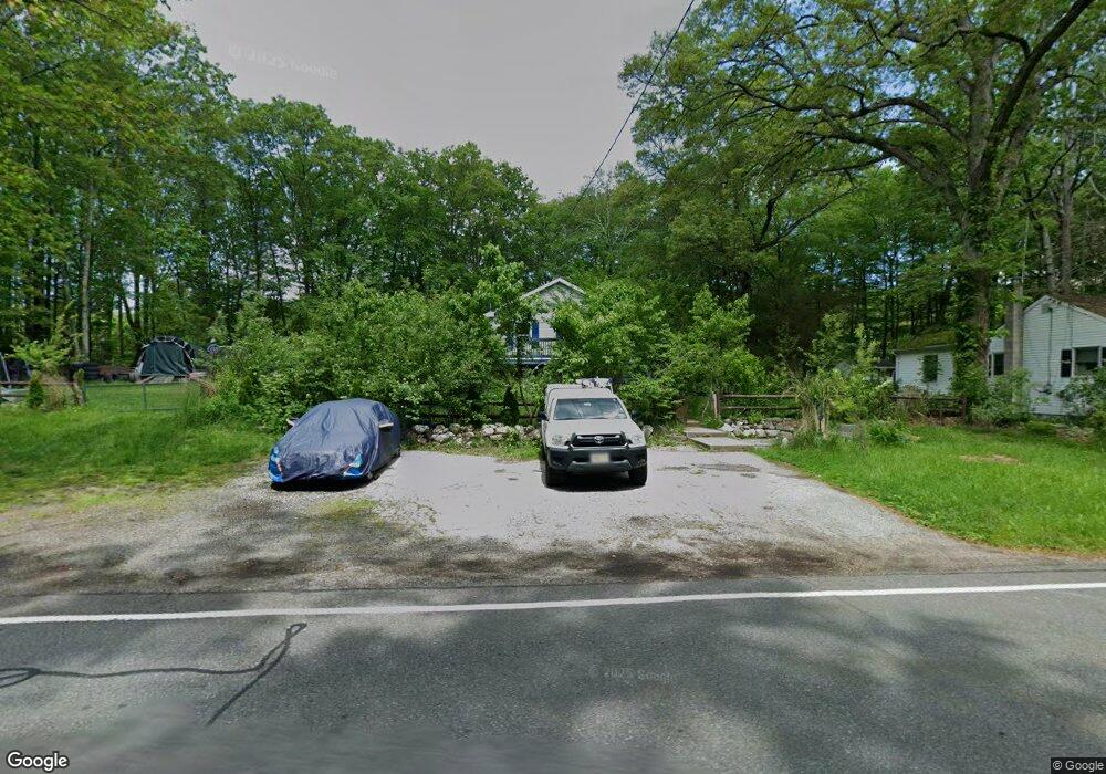
973 Owassa Rd Newton, NJ 07860
Estimated Value: $331,000 - $389,000
--
Bed
--
Bath
1,104
Sq Ft
$325/Sq Ft
Est. Value
About This Home
This home is located at 973 Owassa Rd, Newton, NJ 07860 and is currently estimated at $358,741, approximately $324 per square foot. 973 Owassa Rd is a home located in Sussex County with nearby schools including Stillwater Township School and Kittatinny Regional High School.
Ownership History
Date
Name
Owned For
Owner Type
Purchase Details
Closed on
Dec 7, 2021
Sold by
Township Of Stillwater
Bought by
Swartout Jacob and Norman Stacey
Current Estimated Value
Purchase Details
Closed on
Jul 31, 2019
Sold by
Norman Gail
Bought by
Swartout Jacob and Norman Stacey
Home Financials for this Owner
Home Financials are based on the most recent Mortgage that was taken out on this home.
Original Mortgage
$77,000
Interest Rate
3.7%
Mortgage Type
New Conventional
Purchase Details
Closed on
Mar 15, 1979
Bought by
Norman Raymond K and Norman Gail
Create a Home Valuation Report for This Property
The Home Valuation Report is an in-depth analysis detailing your home's value as well as a comparison with similar homes in the area
Home Values in the Area
Average Home Value in this Area
Purchase History
| Date | Buyer | Sale Price | Title Company |
|---|---|---|---|
| Swartout Jacob | $250 | New Title Company Name | |
| Swartout Jacob | $112,400 | 1St Rate Ttl & Setmnt Svcs L | |
| Norman Raymond K | $34,000 | -- |
Source: Public Records
Mortgage History
| Date | Status | Borrower | Loan Amount |
|---|---|---|---|
| Previous Owner | Swartout Jacob | $77,000 |
Source: Public Records
Tax History Compared to Growth
Tax History
| Year | Tax Paid | Tax Assessment Tax Assessment Total Assessment is a certain percentage of the fair market value that is determined by local assessors to be the total taxable value of land and additions on the property. | Land | Improvement |
|---|---|---|---|---|
| 2025 | $7,227 | $199,200 | $51,100 | $148,100 |
| 2024 | $6,996 | $199,200 | $51,100 | $148,100 |
| 2023 | $6,996 | $199,200 | $51,100 | $148,100 |
| 2022 | $6,617 | $194,400 | $46,300 | $148,100 |
| 2021 | $6,298 | $189,200 | $41,100 | $148,100 |
| 2020 | $6,071 | $189,200 | $41,100 | $148,100 |
| 2019 | $5,827 | $189,200 | $41,100 | $148,100 |
| 2018 | $5,843 | $189,200 | $41,100 | $148,100 |
| 2017 | $5,750 | $189,200 | $41,100 | $148,100 |
| 2016 | $5,589 | $189,200 | $41,100 | $148,100 |
| 2015 | $5,555 | $189,200 | $41,100 | $148,100 |
| 2014 | $5,517 | $189,200 | $41,100 | $148,100 |
Source: Public Records
Map
Nearby Homes
- 947 Plymouth Lake Dr
- 00 Plymouth Lake Dr
- 903 Twin Oaks Rd
- 0 Mount Benevolence Rd
- 908 Willow Dr
- 921 Tulip Trail
- 903 Aspen Ct
- 000 Pepperidge Dr
- 8 Possaghi Rd
- 31 Kent Rd
- 17 Eastbrook Ln
- 68 W Shore Dr
- 121 W Shore Dr
- 21 Lake Rd
- 992 Stillwater Rd
- 1049 County Road 521
- 1055-1057 Rt521
- 1071 County Road 521
- 90 Kemah Mecca Lake Rd
- 25 County Road 521
- 975 Owassa Rd
- 0 Plymouth Lake Dr Unit 3652455
- 0 Plymouth Lake Dr Unit 3269274
- 908 Plymouth Lake Dr
- 911 Plymouth Lake Dr
- 909 Plymouth Lake Dr
- 913 Plymouth Lake Dr
- 907 Plymouth Lake Dr
- 915 Plymouth Lake Dr
- 905 Plymouth Lake Dr
- 917 Plymouth Lake Dr
- 914 Plymouth Lake Dr
- 969 Owassa Rd
- 967 Owassa Rd
- 979 Owassa Rd
- 981 Owassa Rd
- 937 Plymouth Lake Dr
- 963 Owassa Rd
- 945 Plymouth Lake Dr
- 961 Owassa Rd