973 Pratt Rd Scottville, MI 49454
Estimated Value: $256,425 - $298,000
3
Beds
1
Bath
1,506
Sq Ft
$186/Sq Ft
Est. Value
About This Home
This home is located at 973 Pratt Rd, Scottville, MI 49454 and is currently estimated at $280,856, approximately $186 per square foot. 973 Pratt Rd is a home located in Mason County with nearby schools including Mason County Central Upper Elementary School, Scottville Elementary School, and Mason County Central Middle School.
Ownership History
Date
Name
Owned For
Owner Type
Purchase Details
Closed on
Apr 29, 2021
Sold by
Brown Sondra L
Bought by
Wildrom James B and Wildrom Christine A
Current Estimated Value
Purchase Details
Closed on
Jul 21, 2010
Sold by
Hsbc Mortgage Services Inc
Bought by
Brown Sondra Lou
Purchase Details
Closed on
Aug 10, 2009
Sold by
Accredited Home Lenders Inc
Bought by
Hsbc Mortgage Services Inc
Purchase Details
Closed on
Aug 6, 2009
Sold by
Outcalt David Lee and Outcalt Angela Renee
Bought by
Accredited Home Lenders Inc
Purchase Details
Closed on
Mar 31, 2006
Sold by
Weinert Dennis and Weinert Kay Y
Bought by
Outcalt David Lee and Outcalt Angela Renee
Home Financials for this Owner
Home Financials are based on the most recent Mortgage that was taken out on this home.
Original Mortgage
$100,700
Interest Rate
6.33%
Mortgage Type
New Conventional
Create a Home Valuation Report for This Property
The Home Valuation Report is an in-depth analysis detailing your home's value as well as a comparison with similar homes in the area
Home Values in the Area
Average Home Value in this Area
Purchase History
| Date | Buyer | Sale Price | Title Company |
|---|---|---|---|
| Wildrom James B | $184,900 | None Available | |
| Brown Sondra Lou | $19,000 | None Available | |
| Hsbc Mortgage Services Inc | -- | None Available | |
| Accredited Home Lenders Inc | $45,500 | None Available | |
| Outcalt David Lee | -- | Lakeshore Land &Title |
Source: Public Records
Mortgage History
| Date | Status | Borrower | Loan Amount |
|---|---|---|---|
| Previous Owner | Outcalt David Lee | $100,700 |
Source: Public Records
Tax History Compared to Growth
Tax History
| Year | Tax Paid | Tax Assessment Tax Assessment Total Assessment is a certain percentage of the fair market value that is determined by local assessors to be the total taxable value of land and additions on the property. | Land | Improvement |
|---|---|---|---|---|
| 2025 | $1,944 | $135,500 | $135,500 | $0 |
| 2024 | -- | $91,400 | $91,400 | $0 |
| 2023 | -- | $75,700 | $75,700 | $0 |
| 2022 | -- | $68,300 | $0 | $0 |
| 2021 | -- | $64,700 | $0 | $0 |
| 2020 | -- | -- | $0 | $0 |
| 2019 | -- | -- | $0 | $0 |
| 2018 | -- | -- | $0 | $0 |
| 2017 | -- | -- | $0 | $0 |
| 2016 | -- | -- | $0 | $0 |
| 2015 | -- | -- | $0 | $0 |
| 2013 | -- | -- | $0 | $0 |
Source: Public Records
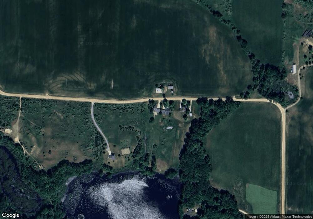
Map
Nearby Homes
- 1100 N Gordon Rd
- 1479 N Cedar Lane Rd
- 1266 N Cedar Lane Rd
- 1662 W Chilberg Rd
- 1907 W Sugar Grove Rd
- 1821 W Hansen Rd
- 1103 U S 31
- 855 N Us Highway 31
- 5957 U S 31
- 156 N Stiles Rd
- 511 Thomas St
- 508 N Main St
- 124 W Beryl St
- 309 N Main St
- 610 W Millerton Rd
- 111 W Broadway Ave
- 106 Evans Way Unit 22
- 107 Evans Way Unit 23
- 102 Evans Way Unit 20
- 105 Evans Way Unit 24
- 957 Pratt Rd
- 957 Pratt Rd
- 0 Pratt Rd
- 16 Acres Pratt Rd
- 16 Pratt Rd
- 935 Pratt Rd
- 1055 Pratt Rd
- 2167 N Lasalle Rd
- 2190 N Lasalle Rd
- 2190 N La Salle Rd
- 2159 N Gordon Rd
- 785 W Decker Rd
- Parcel 1 Lasalle Rd
- 1087 W Sugar Grove Rd
- 1196 W Fisher Rd
- Parcel 2 Lasalle Rd
- Parcel 3 Lasalle Rd
- 1809 N Lasalle Rd
- 685 W Decker Rd
- 0 W V L Decker Rd Unit 67022025945