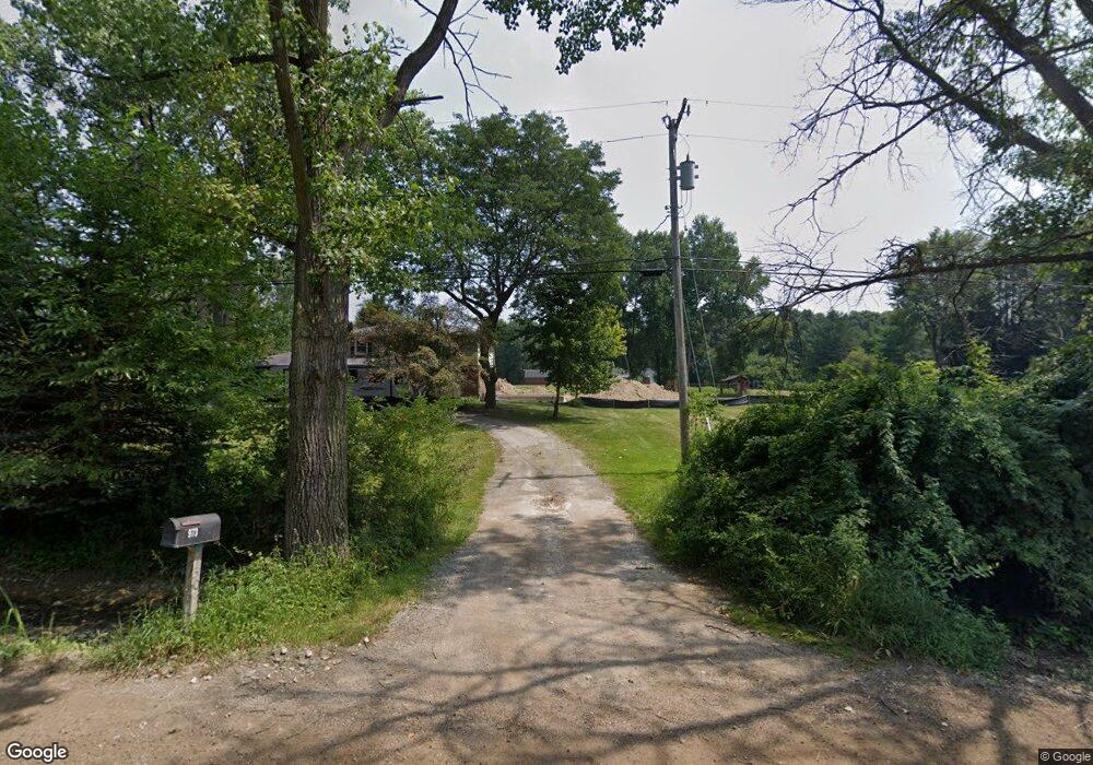
9730 Allen Rd Clarkston, MI 48348
Estimated Value: $509,000 - $584,000
Studio
3
Baths
2,265
Sq Ft
$237/Sq Ft
Est. Value
About This Home
This home is located at 9730 Allen Rd, Clarkston, MI 48348 and is currently estimated at $536,011, approximately $236 per square foot. 9730 Allen Rd is a home located in Oakland County.
Ownership History
Date
Name
Owned For
Owner Type
Purchase Details
Closed on
May 24, 2021
Sold by
Meacham Raymond R
Bought by
Meacham Raymond R and Meacham Laura
Current Estimated Value
Home Financials for this Owner
Home Financials are based on the most recent Mortgage that was taken out on this home.
Original Mortgage
$300,000
Outstanding Balance
$221,729
Interest Rate
2.9%
Mortgage Type
New Conventional
Estimated Equity
$314,282
Purchase Details
Closed on
Sep 18, 2008
Sold by
Meacham Raymond R and Meacham Rochelle L
Bought by
Meacham Raymond R
Purchase Details
Closed on
May 20, 2005
Sold by
Elmore Christopher and Elmore Laura
Bought by
Meacham Raymond R and Meacham Rochelle L
Purchase Details
Closed on
May 15, 1998
Sold by
Holmyard Carl M
Bought by
Elmore Christopher
Create a Home Valuation Report for This Property
The Home Valuation Report is an in-depth analysis detailing your home's value as well as a comparison with similar homes in the area
Home Values in the Area
Average Home Value in this Area
Purchase History
| Date | Buyer | Sale Price | Title Company |
|---|---|---|---|
| Meacham Raymond R | -- | None Available | |
| Meacham Raymond R | -- | None Available | |
| Meacham Raymond R | $315,000 | Metropolitan Title Company | |
| Elmore Christopher | $207,500 | -- |
Source: Public Records
Mortgage History
| Date | Status | Borrower | Loan Amount |
|---|---|---|---|
| Open | Meacham Raymond R | $300,000 | |
| Closed | Elmore Christopher | -- |
Source: Public Records
Tax History Compared to Growth
Tax History
| Year | Tax Paid | Tax Assessment Tax Assessment Total Assessment is a certain percentage of the fair market value that is determined by local assessors to be the total taxable value of land and additions on the property. | Land | Improvement |
|---|---|---|---|---|
| 2025 | $5,300 | $246,700 | $76,700 | $170,000 |
| 2024 | $3,530 | $233,400 | $70,500 | $162,900 |
| 2023 | $4,759 | $208,300 | $59,100 | $149,200 |
| 2022 | $4,759 | $197,300 | $50,600 | $146,700 |
| 2021 | $4,760 | $192,600 | $51,100 | $141,500 |
| 2020 | $3,081 | $172,900 | $44,800 | $128,100 |
| 2018 | $4,542 | $162,700 | $41,600 | $121,100 |
| 2015 | -- | $157,400 | $0 | $0 |
| 2014 | -- | $127,800 | $0 | $0 |
| 2011 | -- | $130,700 | $0 | $0 |
Source: Public Records
Map
Nearby Homes
- 9398 Ortonville Rd
- Vacant Oakhill Rd
- 3770 Reese Rd
- 8449 Allen Rd
- 6571 Deer Ridge Dr
- 9624 Bridge Lake Rd
- 8249 Brookstone Ln Unit 39
- VL Clarkston Rd
- 3360 S Hadley Rd
- 6751 Berry Pointe Dr
- 0000 Bridge Lake Rd
- 8000 Barrington Ln Unit 3
- 00 Cranberry Lake Rd
- 8050 Ortonville Rd
- 8056 Ortonville Rd
- 8680 Oak Hill Rd
- 8410 S Shore Dr Unit 29
- 6556 Amy Dr
- 7949 Bridge Valley
- 1045 Bald Eagle Lake Rd