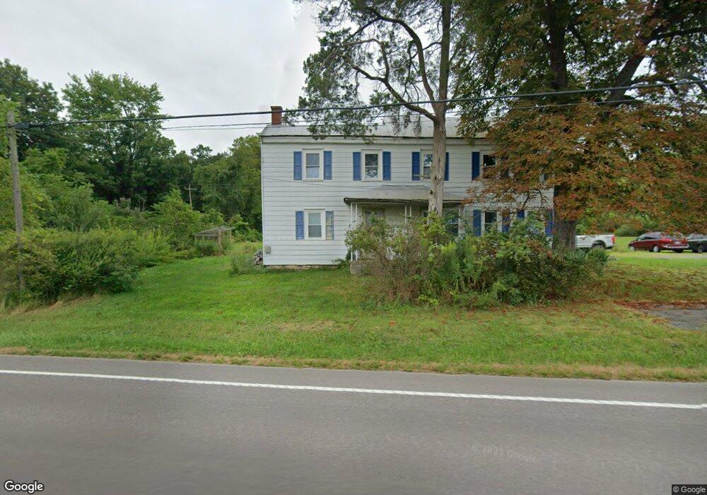
9730 State Route 304 Mifflinburg, PA 17844
Estimated Value: $233,000 - $297,000
2
Beds
1
Bath
2,004
Sq Ft
$133/Sq Ft
Est. Value
About This Home
This home is located at 9730 State Route 304, Mifflinburg, PA 17844 and is currently estimated at $266,293, approximately $132 per square foot. 9730 State Route 304 is a home located in Union County with nearby schools including Mifflinburg Elementary School, Mifflinburg Area Intermediate School, and Mifflinburg Area Middle School.
Ownership History
Date
Name
Owned For
Owner Type
Purchase Details
Closed on
Aug 5, 2015
Sold by
Peachey Albert B and Peachey Mary S
Bought by
Swander James R and Swander Tiona A
Current Estimated Value
Home Financials for this Owner
Home Financials are based on the most recent Mortgage that was taken out on this home.
Original Mortgage
$133,000
Outstanding Balance
$104,604
Interest Rate
4.03%
Mortgage Type
New Conventional
Estimated Equity
$161,689
Create a Home Valuation Report for This Property
The Home Valuation Report is an in-depth analysis detailing your home's value as well as a comparison with similar homes in the area
Home Values in the Area
Average Home Value in this Area
Purchase History
| Date | Buyer | Sale Price | Title Company |
|---|---|---|---|
| Swander James R | $168,000 | Attorney |
Source: Public Records
Mortgage History
| Date | Status | Borrower | Loan Amount |
|---|---|---|---|
| Open | Swander James R | $133,000 |
Source: Public Records
Tax History Compared to Growth
Tax History
| Year | Tax Paid | Tax Assessment Tax Assessment Total Assessment is a certain percentage of the fair market value that is determined by local assessors to be the total taxable value of land and additions on the property. | Land | Improvement |
|---|---|---|---|---|
| 2025 | $2,119 | $99,400 | $38,100 | $61,300 |
| 2024 | $2,119 | $99,400 | $38,100 | $61,300 |
| 2023 | $2,055 | $99,400 | $38,100 | $61,300 |
| 2022 | $2,026 | $99,400 | $38,100 | $61,300 |
| 2021 | $2,008 | $99,400 | $38,100 | $61,300 |
| 2020 | $1,964 | $99,400 | $38,100 | $61,300 |
| 2019 | $1,918 | $99,400 | $38,100 | $61,300 |
| 2018 | $1,880 | $99,400 | $38,100 | $61,300 |
| 2017 | $1,842 | $99,400 | $38,100 | $61,300 |
| 2016 | $1,753 | $99,400 | $38,100 | $61,300 |
| 2015 | -- | $99,400 | $38,100 | $61,300 |
| 2014 | -- | $99,400 | $38,100 | $61,300 |
Source: Public Records
Map
Nearby Homes
- 222 High St
- LOT NO. 13 Motter Ln
- 224 Market St
- 313 Market St
- 9 Walnut Ridge Estate
- 654 Plum St
- 204 Penn St
- 506 Front St
- 150 Adis Ln
- 0 Pennsylvania 304
- 809 Borough Line Rd
- 509 Lime Ridge Rd
- 308 Green St
- 7 S 7th St
- 606 Market St
- 536 Market St
- 221 Chestnut St
- 107 Chestnut St
- 101 Chestnut St
- 309 Walnut St
- 46 Zimmerman Rd
- 424 Zimmerman Rd
- 9405 State Route 304
- 585 Smith Rd
- 390 Smith Rd
- 727 Smith Rd
- 10220 State Route 304
- 660 Smith Rd
- 740 Smith Rd
- 55 Buzzard Ln
- 832 Smith Rd
- 886 Smith Rd
- 9000 State Route 304
- 10455 State Route 304
- 252 Buzzard Ln
- 318 Wildwood Rd
- 68 Vista Dr
- 348 Wildwood Rd
- 49 Wildwood Rd
- 682 Wildwood Rd