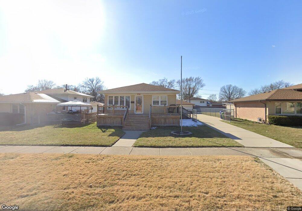
9736 Massasoit Ave Oak Lawn, IL 60453
Estimated Value: $343,687 - $372,000
3
Beds
2
Baths
1,188
Sq Ft
$300/Sq Ft
Est. Value
About This Home
This home is located at 9736 Massasoit Ave, Oak Lawn, IL 60453 and is currently estimated at $356,172, approximately $299 per square foot. 9736 Massasoit Ave is a home located in Cook County with nearby schools including Columbus Manor Elementary School, Simmons Middle School, and Oak Lawn Community High School.
Ownership History
Date
Name
Owned For
Owner Type
Purchase Details
Closed on
Mar 24, 2010
Sold by
Ksiazek Elizabeth
Bought by
Dodson Tommy J
Current Estimated Value
Home Financials for this Owner
Home Financials are based on the most recent Mortgage that was taken out on this home.
Original Mortgage
$100,000
Outstanding Balance
$66,212
Interest Rate
4.96%
Mortgage Type
New Conventional
Estimated Equity
$289,960
Create a Home Valuation Report for This Property
The Home Valuation Report is an in-depth analysis detailing your home's value as well as a comparison with similar homes in the area
Home Values in the Area
Average Home Value in this Area
Purchase History
| Date | Buyer | Sale Price | Title Company |
|---|---|---|---|
| Dodson Tommy J | $213,000 | First American Title Ins Co |
Source: Public Records
Mortgage History
| Date | Status | Borrower | Loan Amount |
|---|---|---|---|
| Open | Dodson Tommy J | $100,000 |
Source: Public Records
Tax History Compared to Growth
Tax History
| Year | Tax Paid | Tax Assessment Tax Assessment Total Assessment is a certain percentage of the fair market value that is determined by local assessors to be the total taxable value of land and additions on the property. | Land | Improvement |
|---|---|---|---|---|
| 2024 | $7,173 | $26,644 | $4,546 | $22,098 |
| 2023 | $5,633 | $28,000 | $4,546 | $23,454 |
| 2022 | $5,633 | $19,459 | $3,953 | $15,506 |
| 2021 | $5,489 | $19,459 | $3,953 | $15,506 |
| 2020 | $5,454 | $19,459 | $3,953 | $15,506 |
| 2019 | $5,529 | $20,460 | $3,557 | $16,903 |
| 2018 | $5,297 | $20,460 | $3,557 | $16,903 |
| 2017 | $5,391 | $20,460 | $3,557 | $16,903 |
| 2016 | $4,863 | $16,984 | $2,964 | $14,020 |
| 2015 | $4,785 | $16,984 | $2,964 | $14,020 |
| 2014 | $4,760 | $16,984 | $2,964 | $14,020 |
| 2013 | $5,303 | $20,261 | $2,964 | $17,297 |
Source: Public Records
Map
Nearby Homes
- 5810 W 97th St
- 10440 S Mayfield Ave Unit 1A
- 9712 W Shore Dr
- 9704 W Shore Dr
- 9542 Parkside Ave
- 9624 W Shore Dr
- 9600 Central Ave
- 9807 Washington Ave
- 9814 Austin Ave
- 9735 S 55th Ave
- 9609 S Austin Ave Unit 1E
- 9540 S Mayfield Ave Unit 103S
- 9520 S Mayfield Ave Unit N105
- 9545 Southwest Hwy Unit 5
- 9912 Austin Ave
- 9714 Mcvicker Ave
- 9828 Warren Ave
- 5424 Franklin Ave
- 9420 Massasoit Ave
- 9422 Central Ave
- 9740 Massasoit Ave
- 9728 Massasoit Ave
- 9737 Menard Ave
- 9741 Menard Ave
- 9733 Menard Ave
- 9724 Massasoit Ave
- 9729 Menard Ave
- 9800 Massasoit Ave
- 9737 Massasoit Ave
- 9733 Massasoit Ave
- 9741 Massasoit Ave
- 9729 Massasoit Ave
- 9723 Menard Ave
- 9801 Menard Ave
- 9720 Massasoit Ave
- 9804 Massasoit Ave
- 9725 Massasoit Ave
- 9719 Menard Ave
- 9805 Menard Ave
- 9721 Massasoit Ave