9736 Perrill Rd Canal Winchester, OH 43110
Estimated Value: $198,000 - $291,000
4
Beds
1
Bath
1,608
Sq Ft
$156/Sq Ft
Est. Value
About This Home
This home is located at 9736 Perrill Rd, Canal Winchester, OH 43110 and is currently estimated at $251,216, approximately $156 per square foot. 9736 Perrill Rd is a home located in Fairfield County.
Ownership History
Date
Name
Owned For
Owner Type
Purchase Details
Closed on
Feb 4, 2002
Sold by
Hamel Larry T
Bought by
Park Ronald E Sheila A
Current Estimated Value
Home Financials for this Owner
Home Financials are based on the most recent Mortgage that was taken out on this home.
Original Mortgage
$90,250
Outstanding Balance
$37,844
Interest Rate
7.26%
Mortgage Type
New Conventional
Estimated Equity
$213,372
Create a Home Valuation Report for This Property
The Home Valuation Report is an in-depth analysis detailing your home's value as well as a comparison with similar homes in the area
Home Values in the Area
Average Home Value in this Area
Purchase History
| Date | Buyer | Sale Price | Title Company |
|---|---|---|---|
| Park Ronald E Sheila A | $95,000 | -- |
Source: Public Records
Mortgage History
| Date | Status | Borrower | Loan Amount |
|---|---|---|---|
| Open | Park Ronald E Sheila A | $90,250 |
Source: Public Records
Tax History Compared to Growth
Tax History
| Year | Tax Paid | Tax Assessment Tax Assessment Total Assessment is a certain percentage of the fair market value that is determined by local assessors to be the total taxable value of land and additions on the property. | Land | Improvement |
|---|---|---|---|---|
| 2024 | -- | $56,460 | $13,350 | $43,110 |
| 2023 | $2,081 | $56,460 | $13,350 | $43,110 |
| 2022 | $1,684 | $42,240 | $11,190 | $31,050 |
| 2021 | $1,586 | $42,240 | $11,190 | $31,050 |
| 2020 | $1,587 | $42,240 | $11,190 | $31,050 |
| 2019 | $1,380 | $35,520 | $11,190 | $24,330 |
| 2018 | $1,373 | $35,520 | $11,190 | $24,330 |
| 2017 | $1,409 | $35,520 | $11,190 | $24,330 |
| 2016 | $1,409 | $35,820 | $11,190 | $24,630 |
| 2015 | $1,410 | $35,820 | $11,190 | $24,630 |
| 2014 | $1,411 | $35,820 | $11,190 | $24,630 |
| 2013 | $1,479 | $35,820 | $11,190 | $24,630 |
Source: Public Records
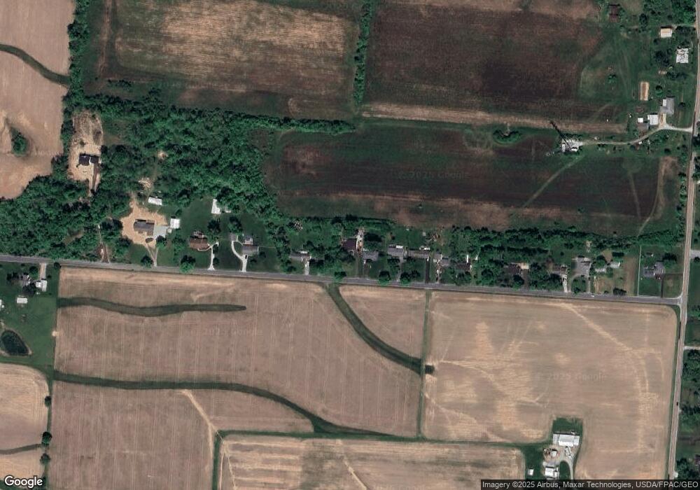
Map
Nearby Homes
- 11394 Cedar Creek Dr NW
- 4010 Winchester Southern Rd
- 2780 Cedar Hill Rd NW
- 637 Crestview Dr
- 539 Market St Unit 539
- 531 Market St Unit 531
- 549 Crestview Dr
- 678 Green Forest Place
- 497 Market St Unit 497
- 11461 Julie Lynn Place NW
- 310 Abbey Ave
- 10385 Lithopolis Rd NW
- 73 E North St
- 330 W Columbus St
- 0 Columbus St Unit 225023784
- 10160 Lithopolis Rd NW
- 1295 Cedar Hill Rd NW
- 5760 London-Lancaster Rd
- 557 Eastman Ave
- Henley Plan at The Summit at Wagnalls Run
- 9758 Perrill Rd
- 9772 Perrill Rd
- 9716 Perrill Rd
- 9716 Perrill Rd Unit Lot A
- 9794 Perrill Rd
- 9818 Perrill Rd
- 9690 Perrill Rd
- 9840 Perrill Rd
- 9658 Perrill Rd
- 9868 Perrill Rd
- 9602 Perrill Rd
- 9908 Perrill Rd
- 9926 Perrill Rd
- 9934 Perrill Rd
- 9564 Perrill Rd
- 2965 State Route 674 S
- 2984 Winchester Southern Rd
- 2910 Winchester Southern Rd
- 3060 Winchester Southern Rd
- 2870 Winchester Southern Rd