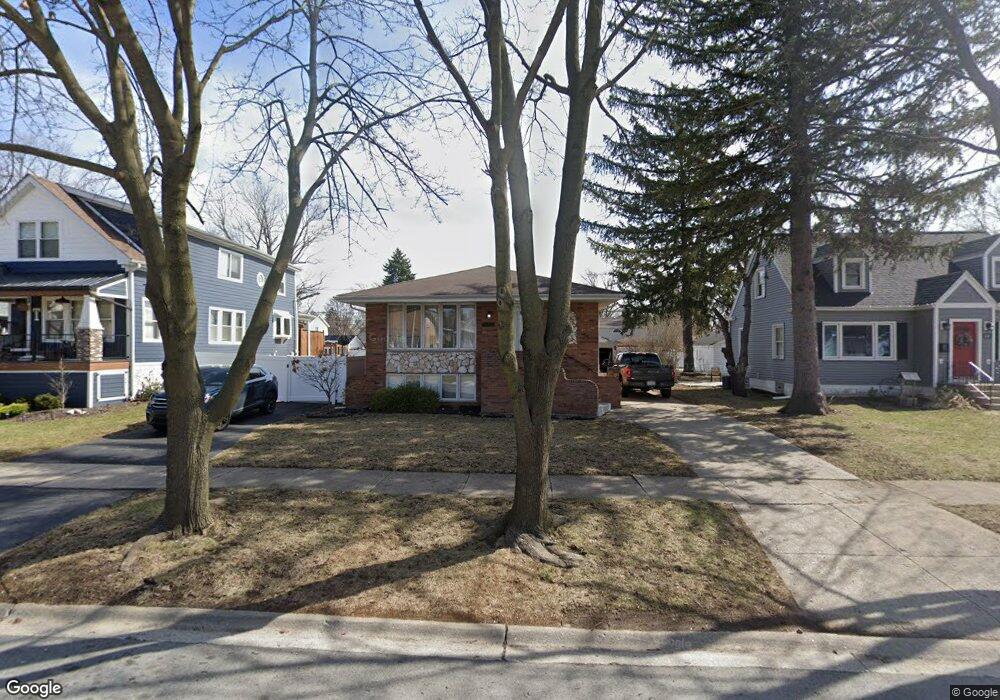
9737 Cook Ave Oak Lawn, IL 60453
Estimated Value: $329,000 - $366,000
4
Beds
2
Baths
1,488
Sq Ft
$232/Sq Ft
Est. Value
About This Home
This home is located at 9737 Cook Ave, Oak Lawn, IL 60453 and is currently estimated at $345,341, approximately $232 per square foot. 9737 Cook Ave is a home located in Cook County with nearby schools including Sward Elementary School, J Covington Elementary School, and Kolmar Avenue Elementary School.
Ownership History
Date
Name
Owned For
Owner Type
Purchase Details
Closed on
Apr 26, 2005
Sold by
Nicholas Builders Inc
Bought by
Andrade Consuelo and Andrade Angelica M
Current Estimated Value
Home Financials for this Owner
Home Financials are based on the most recent Mortgage that was taken out on this home.
Original Mortgage
$270,000
Outstanding Balance
$143,393
Interest Rate
6.13%
Mortgage Type
Stand Alone First
Estimated Equity
$201,948
Create a Home Valuation Report for This Property
The Home Valuation Report is an in-depth analysis detailing your home's value as well as a comparison with similar homes in the area
Home Values in the Area
Average Home Value in this Area
Purchase History
| Date | Buyer | Sale Price | Title Company |
|---|---|---|---|
| Andrade Consuelo | $440,000 | Multiple |
Source: Public Records
Mortgage History
| Date | Status | Borrower | Loan Amount |
|---|---|---|---|
| Open | Andrade Consuelo | $270,000 |
Source: Public Records
Tax History Compared to Growth
Tax History
| Year | Tax Paid | Tax Assessment Tax Assessment Total Assessment is a certain percentage of the fair market value that is determined by local assessors to be the total taxable value of land and additions on the property. | Land | Improvement |
|---|---|---|---|---|
| 2024 | $3,775 | $14,000 | $2,130 | $11,870 |
| 2023 | $2,950 | $14,000 | $2,130 | $11,870 |
| 2022 | $2,950 | $9,499 | $1,864 | $7,635 |
| 2021 | $2,902 | $9,498 | $1,863 | $7,635 |
| 2020 | $2,885 | $9,498 | $1,863 | $7,635 |
| 2019 | $3,259 | $10,701 | $1,686 | $9,015 |
| 2018 | $3,134 | $10,701 | $1,686 | $9,015 |
| 2017 | $3,150 | $10,701 | $1,686 | $9,015 |
| 2016 | $3,130 | $9,793 | $1,420 | $8,373 |
| 2015 | $3,073 | $9,793 | $1,420 | $8,373 |
| 2014 | $3,048 | $9,793 | $1,420 | $8,373 |
| 2013 | $2,991 | $10,611 | $1,420 | $9,191 |
Source: Public Records
Map
Nearby Homes
- 9706 S 52nd Ave
- 9711 Tulley Ave
- 5168 W 99th St
- 5100 W 96th St Unit 204
- 5100 W 96th St Unit 442
- 9535 S 53rd Ave Unit 3S
- 5424 Franklin Ave
- 5368 W 96th St Unit 2S
- 9828 Warren Ave
- 9735 S 55th Ave
- 10010 Harnew Rd W Unit 1
- 10021 Cook Ave
- 9617 Brandt Ave
- 10016 Harnew Rd W
- 9439 S 52nd Ave
- 9807 Washington Ave
- 5120 W 101st St
- 9909 Elm Circle Dr
- 5125 W 101st St
- 9712 W Shore Dr