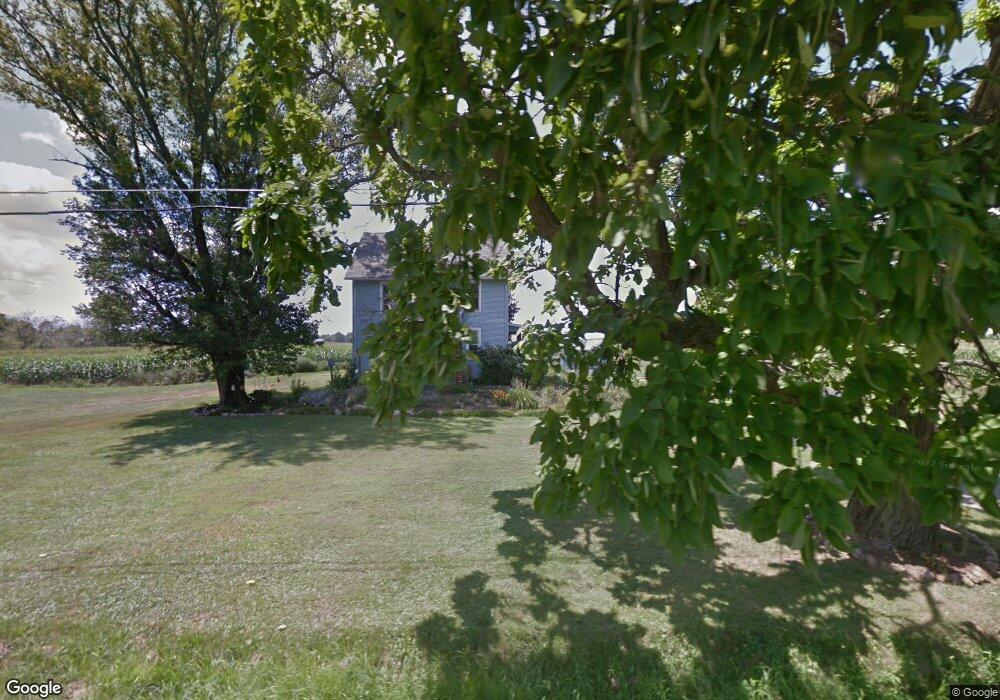
9737 Mccallum Ave NE Alliance, OH 44601
Estimated Value: $256,000 - $287,000
3
Beds
2
Baths
1,790
Sq Ft
$151/Sq Ft
Est. Value
About This Home
This home is located at 9737 Mccallum Ave NE, Alliance, OH 44601 and is currently estimated at $270,873, approximately $151 per square foot. 9737 Mccallum Ave NE is a home located in Stark County with nearby schools including Marlington High School and Regina Coeli/St Joseph School.
Ownership History
Date
Name
Owned For
Owner Type
Purchase Details
Closed on
Oct 6, 2011
Sold by
Estate Of Jan G Davis
Bought by
Davis Theresa M
Current Estimated Value
Purchase Details
Closed on
May 23, 1996
Sold by
Young Theresa M
Bought by
Davis Jan G
Create a Home Valuation Report for This Property
The Home Valuation Report is an in-depth analysis detailing your home's value as well as a comparison with similar homes in the area
Home Values in the Area
Average Home Value in this Area
Purchase History
| Date | Buyer | Sale Price | Title Company |
|---|---|---|---|
| Davis Theresa M | -- | None Available | |
| Davis Jan G | $30,700 | -- |
Source: Public Records
Tax History Compared to Growth
Tax History
| Year | Tax Paid | Tax Assessment Tax Assessment Total Assessment is a certain percentage of the fair market value that is determined by local assessors to be the total taxable value of land and additions on the property. | Land | Improvement |
|---|---|---|---|---|
| 2025 | -- | $75,320 | $42,350 | $32,970 |
| 2024 | -- | $75,320 | $42,350 | $32,970 |
| 2023 | $2,152 | $60,310 | $40,290 | $20,020 |
| 2022 | $2,159 | $60,310 | $40,290 | $20,020 |
| 2021 | $2,166 | $60,310 | $40,290 | $20,020 |
| 2020 | $2,382 | $59,090 | $40,290 | $18,800 |
| 2019 | $2,367 | $59,090 | $40,290 | $18,800 |
| 2018 | $2,370 | $59,090 | $40,290 | $18,800 |
| 2017 | $2,252 | $52,550 | $36,410 | $16,140 |
| 2016 | $2,431 | $56,780 | $36,410 | $20,370 |
| 2015 | $2,319 | $56,780 | $36,410 | $20,370 |
| 2014 | $450 | $54,830 | $33,780 | $21,050 |
| 2013 | $1,219 | $54,830 | $33,780 | $21,050 |
Source: Public Records
Map
Nearby Homes
- 10666 Wilma Ave NE
- 0 Reeder Ave NE
- 2377 Ansley St Unit 2377
- 1430 Westwood Ave
- 2081 Marwood Cir
- 2851 Patriots Path Unit 3D
- 2435 Queensbury Rd
- 0 Meadow St NE
- 0 Valewood Cir Unit 5006281
- 0 W Main St Unit 5090123
- 0 Easton St NE
- 12355 Edison St NE
- 11960 Freshley Ave NE
- 11480 Aebi Ave NE
- 1201 Overlook Dr
- 2220 Western Ave
- 0 Winchester St
- 0 Winchester St Unit 5162877
- 2195 Blenheim Ave
- 2112 Blenheim Ave
- 9691 Mccallum Ave NE
- 9776 Mccallum Ave NE
- 9776 Mccallum Ave NE
- 9849 Mccallum Ave NE
- 9625 Mccallum Ave NE
- 9859 Mccallum Ave NE
- 9859 Mccallum Ave NE
- 9888 Mccallum Ave NE
- 9856 Mccallum Ave NE
- 9580 Mccallum Ave NE
- 9931 Mccallum Ave NE
- 9930 Mccallum Ave NE
- 9540 Mc Callum Ave NE
- 9608 Mccallum Ave NE
- 9951 Mccallum Ave NE
- 9966 Mccallum Ave NE
- 10000 Mccallum Ave NE
- 9465 Mccallum Ave NE
- 10009 Mccallum Ave NE
- 10012 Mccallum Ave NE