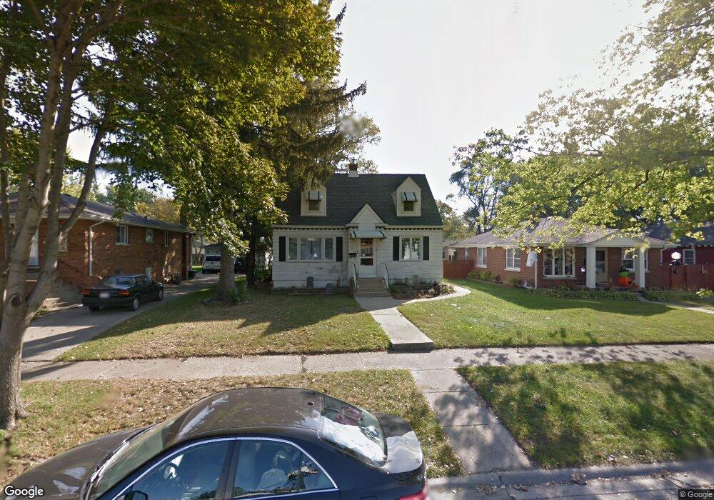
9739 Cook Ave Oak Lawn, IL 60453
Estimated Value: $188,000 - $319,040
3
Beds
3
Baths
1,350
Sq Ft
$179/Sq Ft
Est. Value
About This Home
This home is located at 9739 Cook Ave, Oak Lawn, IL 60453 and is currently estimated at $241,760, approximately $179 per square foot. 9739 Cook Ave is a home located in Cook County with nearby schools including Sward Elementary School, J Covington Elementary School, and Kolmar Avenue Elementary School.
Ownership History
Date
Name
Owned For
Owner Type
Purchase Details
Closed on
Oct 20, 2015
Sold by
Wright James L
Bought by
Wright Sarah A
Current Estimated Value
Purchase Details
Closed on
Feb 17, 2012
Sold by
Perritano Anthony
Bought by
Wright James L and Wright Jonah A
Home Financials for this Owner
Home Financials are based on the most recent Mortgage that was taken out on this home.
Original Mortgage
$170,563
Interest Rate
3.92%
Mortgage Type
FHA
Create a Home Valuation Report for This Property
The Home Valuation Report is an in-depth analysis detailing your home's value as well as a comparison with similar homes in the area
Home Values in the Area
Average Home Value in this Area
Purchase History
| Date | Buyer | Sale Price | Title Company |
|---|---|---|---|
| Wright Sarah A | -- | Attorney | |
| Wright James L | $175,000 | Cti |
Source: Public Records
Mortgage History
| Date | Status | Borrower | Loan Amount |
|---|---|---|---|
| Previous Owner | Wright James L | $170,563 |
Source: Public Records
Tax History Compared to Growth
Tax History
| Year | Tax Paid | Tax Assessment Tax Assessment Total Assessment is a certain percentage of the fair market value that is determined by local assessors to be the total taxable value of land and additions on the property. | Land | Improvement |
|---|---|---|---|---|
| 2024 | $3,010 | $11,500 | $2,130 | $9,370 |
| 2023 | $2,131 | $11,500 | $2,130 | $9,370 |
| 2022 | $2,131 | $7,337 | $1,864 | $5,473 |
| 2021 | $2,101 | $7,335 | $1,863 | $5,472 |
| 2020 | $2,100 | $7,335 | $1,863 | $5,472 |
| 2019 | $2,443 | $8,452 | $1,686 | $6,766 |
| 2018 | $2,349 | $8,452 | $1,686 | $6,766 |
| 2017 | $2,364 | $8,452 | $1,686 | $6,766 |
| 2016 | $2,213 | $7,291 | $1,420 | $5,871 |
| 2015 | $2,167 | $7,291 | $1,420 | $5,871 |
| 2014 | $2,152 | $7,291 | $1,420 | $5,871 |
| 2013 | $2,326 | $8,545 | $1,420 | $7,125 |
Source: Public Records
Map
Nearby Homes
- 9706 S 52nd Ave
- 5168 W 99th St
- 9711 Tulley Ave
- 5424 Franklin Ave
- 5100 W 96th St Unit 204
- 5100 W 96th St Unit 442
- 9535 S 53rd Ave Unit 3S
- 9828 Warren Ave
- 5368 W 96th St Unit 2S
- 9735 S 55th Ave
- 10021 Cook Ave
- 10010 Harnew Rd W Unit 1
- 10016 Harnew Rd W
- 9807 Washington Ave
- 9617 Brandt Ave
- 9439 S 52nd Ave
- 5120 W 101st St
- 9712 W Shore Dr
- 9704 W Shore Dr
- 5125 W 101st St