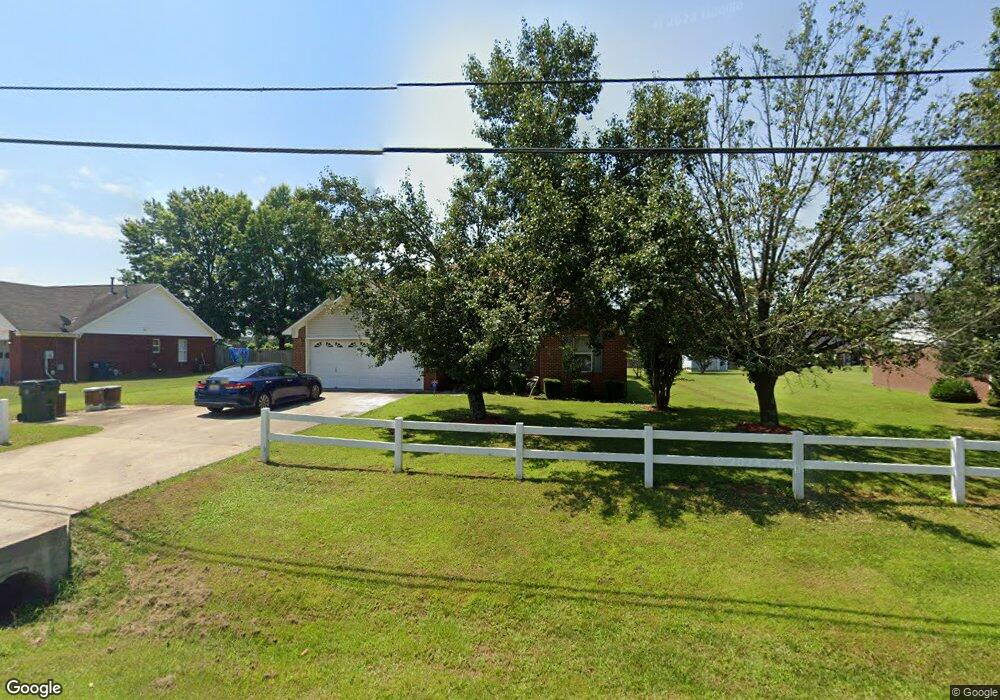
974 Bell Factory Rd Huntsville, AL 35811
Estimated Value: $222,020 - $246,000
3
Beds
2
Baths
1,282
Sq Ft
$185/Sq Ft
Est. Value
About This Home
This home is located at 974 Bell Factory Rd, Huntsville, AL 35811 and is currently estimated at $236,755, approximately $184 per square foot. 974 Bell Factory Rd is a home located in Madison County with nearby schools including Riverton Elementary School, Riverton Intermediate School, and Buckhorn Middle School.
Ownership History
Date
Name
Owned For
Owner Type
Purchase Details
Closed on
Nov 7, 2019
Sold by
Hawthorne Sanquanette L
Bought by
Hawthorne David
Current Estimated Value
Purchase Details
Closed on
Apr 14, 2010
Sold by
Mungroo Dale L
Bought by
Hawthorne David
Home Financials for this Owner
Home Financials are based on the most recent Mortgage that was taken out on this home.
Original Mortgage
$115,764
Outstanding Balance
$77,204
Interest Rate
4.87%
Mortgage Type
FHA
Estimated Equity
$159,551
Create a Home Valuation Report for This Property
The Home Valuation Report is an in-depth analysis detailing your home's value as well as a comparison with similar homes in the area
Home Values in the Area
Average Home Value in this Area
Purchase History
| Date | Buyer | Sale Price | Title Company |
|---|---|---|---|
| Hawthorne David | -- | None Available | |
| Hawthorne David | -- | -- |
Source: Public Records
Mortgage History
| Date | Status | Borrower | Loan Amount |
|---|---|---|---|
| Open | Hawthorne David | $8,979 | |
| Open | Hawthorne David | $115,764 |
Source: Public Records
Tax History Compared to Growth
Tax History
| Year | Tax Paid | Tax Assessment Tax Assessment Total Assessment is a certain percentage of the fair market value that is determined by local assessors to be the total taxable value of land and additions on the property. | Land | Improvement |
|---|---|---|---|---|
| 2024 | $441 | $13,520 | $1,500 | $12,020 |
| 2023 | $441 | $12,960 | $1,500 | $11,460 |
| 2022 | $402 | $12,440 | $1,500 | $10,940 |
| 2021 | $395 | $12,260 | $1,500 | $10,760 |
| 2020 | $351 | $11,050 | $1,500 | $9,550 |
| 2019 | $335 | $10,610 | $1,500 | $9,110 |
| 2018 | $318 | $10,160 | $0 | $0 |
| 2017 | $309 | $9,900 | $0 | $0 |
| 2016 | $309 | $9,900 | $0 | $0 |
| 2015 | $309 | $9,900 | $0 | $0 |
| 2014 | $306 | $9,820 | $0 | $0 |
Source: Public Records
Map
Nearby Homes
- 229 Steppe Ct
- 208 Steppe Ct
- 206 Harlans Cir
- 120 Mikaelas Way
- 225 Dinner Tree Square
- Plan 1525-2 at Bingham Corners
- Plan 1820-2 at Bingham Corners
- Kathryn-4 sides Brick Plan at Deerfield
- Madison-4 sides Brick Plan at Deerfield
- Freeport Plan at Deerfield
- Kerry Plan at Deerfield
- Cali Plan at Deerfield
- Lakeside Plan at Deerfield
- 168 Ladd Rd
- 396 Jackson Point Cir
- 396 Jackson Point Cir Unit B
- 212 Dinner Tree Square
- 401 Jackson Point Cir
- 398 Jackson Point Cir
- 398 Jackson Point Cir Unit A
- 966 Bell Factory Rd
- 990 Bell Factory Rd
- 952 Bell Factory Rd
- 228 Steppe Ct
- 983 Bell Factory Rd
- 226 Steppe Ct
- 4440 Maysville Rd NE
- 224 Steppe Ct
- 227 Steppe Ct
- 4465 Maysville Rd NE
- 4432 Maysville Rd NE
- 225 Steppe Ct
- 4445 Maysville Rd NE
- 940 Bell Factory Rd
- 222 Steppe Ct
- 4455 Maysville Rd NE
- 4426 Maysville Rd NE
- 4435 Maysville Rd NE
- 219 Steppe Ct
- 1 Bell Factory Rd