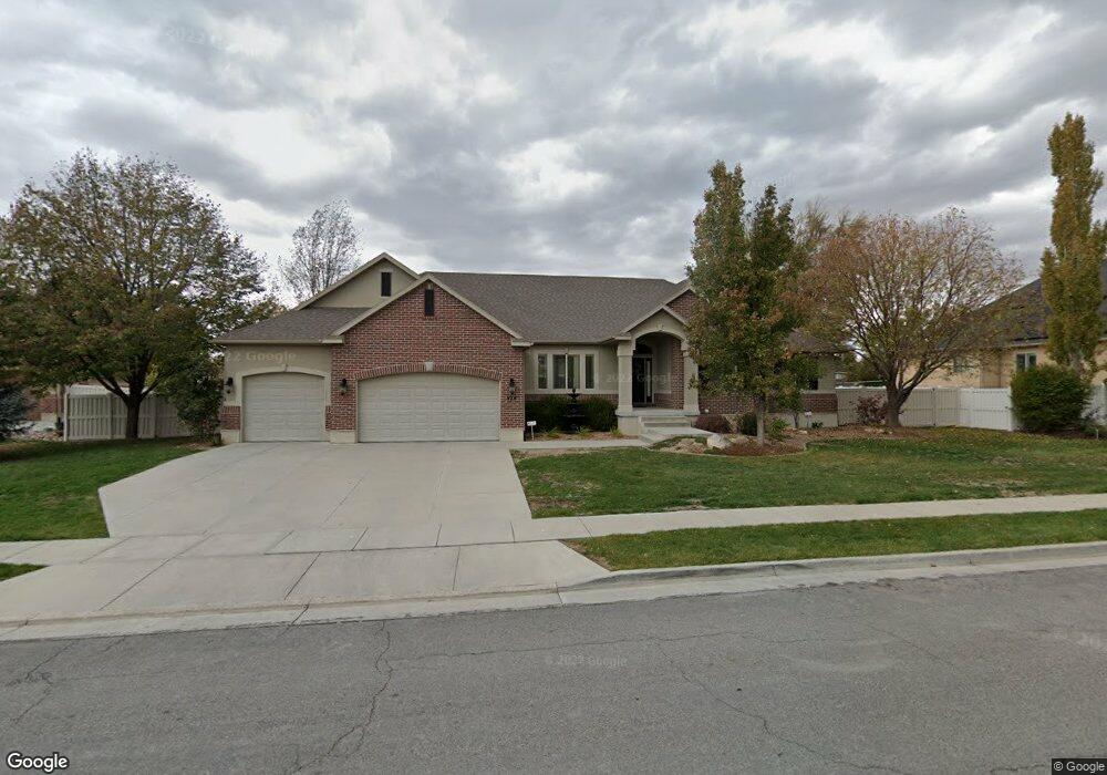
974 Chester Ln Kaysville, UT 84037
West Kaysville NeighborhoodEstimated Value: $1,010,000 - $1,140,000
5
Beds
4
Baths
2,447
Sq Ft
$448/Sq Ft
Est. Value
About This Home
This home is located at 974 Chester Ln, Kaysville, UT 84037 and is currently estimated at $1,096,195, approximately $447 per square foot. 974 Chester Ln is a home with nearby schools including Kaysville Elementary School, Farmington High, and Centennial Junior High School.
Ownership History
Date
Name
Owned For
Owner Type
Purchase Details
Closed on
Dec 31, 2009
Sold by
Homeowners Association Of Quail Hollow A
Bought by
Quail Hollow At Willowmere Farm Homeowne
Current Estimated Value
Purchase Details
Closed on
Oct 27, 2004
Sold by
Quail Hollow Subdivision Llc
Bought by
Christensen Joseph S and Christensen Teresa L
Home Financials for this Owner
Home Financials are based on the most recent Mortgage that was taken out on this home.
Original Mortgage
$260,000
Interest Rate
4.5%
Mortgage Type
Purchase Money Mortgage
Create a Home Valuation Report for This Property
The Home Valuation Report is an in-depth analysis detailing your home's value as well as a comparison with similar homes in the area
Home Values in the Area
Average Home Value in this Area
Purchase History
| Date | Buyer | Sale Price | Title Company |
|---|---|---|---|
| Quail Hollow At Willowmere Farm Homeowne | -- | None Available | |
| Christensen Joseph S | -- | Bonneville Title Company Inc |
Source: Public Records
Mortgage History
| Date | Status | Borrower | Loan Amount |
|---|---|---|---|
| Previous Owner | Christensen Joseph S | $260,000 |
Source: Public Records
Tax History Compared to Growth
Tax History
| Year | Tax Paid | Tax Assessment Tax Assessment Total Assessment is a certain percentage of the fair market value that is determined by local assessors to be the total taxable value of land and additions on the property. | Land | Improvement |
|---|---|---|---|---|
| 2024 | $5,409 | $570,350 | $184,158 | $386,192 |
| 2023 | $5,130 | $958,000 | $333,553 | $624,447 |
| 2022 | $4,688 | $491,150 | $182,523 | $308,627 |
| 2021 | $4,032 | $633,000 | $211,029 | $421,971 |
| 2020 | $3,780 | $578,000 | $179,318 | $398,682 |
| 2019 | $3,710 | $557,000 | $184,133 | $372,867 |
| 2018 | $3,521 | $527,000 | $153,908 | $373,092 |
| 2016 | $3,241 | $255,035 | $68,191 | $186,844 |
| 2015 | $3,621 | $270,490 | $68,191 | $202,299 |
| 2014 | $3,548 | $269,867 | $59,928 | $209,939 |
| 2013 | -- | $244,451 | $52,011 | $192,440 |
Source: Public Records
Map
Nearby Homes
- 1087 Barnes Dr
- 48 S Flint St
- 454 S Jay St W
- 129 N Mountain Vistas Rd
- 75 S Grandison Ct E Unit 69-R
- 86 S Grandison Ct E Unit 79-R
- 127 S Rock Loft Ridge Dr Unit 57-R
- 159 S Rock Loft Ridge Dr Unit 59-R
- 1346 W Blackbird Ln Unit 3
- 209 N Rock Loft Ridge E Unit 32-R
- 198 S Rock Loft Ridge Dr E Unit 6-R
- 246 N Rock Loft Ridge Dr Unit 36-R
- 167 S Grandison E Unit 74-R
- 109 S Rock Loft Ridge Dr Unit 56-R
- 93 S Rock Loft Ridge Dr Unit 55-R
- 34 S Rock Loft Ridge Dr Unit 85-R
- 52 S Grandison Ct E Unit 83-R
- 190 N Rock Loft Ridge Dr Unit 40-R
- 96 S Rock Loft Ridge Dr Unit 12-R
- 28 N Rock Loft Ridge Dr Unit 46-R