974 Narragansett Ave Prudence Island, RI 02872
Prudence Island NeighborhoodEstimated Value: $235,000 - $432,000
1
Bed
2
Baths
494
Sq Ft
$616/Sq Ft
Est. Value
About This Home
This home is located at 974 Narragansett Ave, Prudence Island, RI 02872 and is currently estimated at $304,282, approximately $615 per square foot. 974 Narragansett Ave is a home with nearby schools including Portsmouth High School.
Ownership History
Date
Name
Owned For
Owner Type
Purchase Details
Closed on
Jun 16, 2009
Sold by
Silva Steven and Silva Cheryl
Bought by
Dacosta Christopher and Dacosta Darcy
Current Estimated Value
Create a Home Valuation Report for This Property
The Home Valuation Report is an in-depth analysis detailing your home's value as well as a comparison with similar homes in the area
Home Values in the Area
Average Home Value in this Area
Purchase History
| Date | Buyer | Sale Price | Title Company |
|---|---|---|---|
| Dacosta Christopher | $67,000 | -- |
Source: Public Records
Mortgage History
| Date | Status | Borrower | Loan Amount |
|---|---|---|---|
| Open | Dacosta Christopher | $50,000 | |
| Previous Owner | Dacosta Christopher | $148,500 |
Source: Public Records
Tax History Compared to Growth
Tax History
| Year | Tax Paid | Tax Assessment Tax Assessment Total Assessment is a certain percentage of the fair market value that is determined by local assessors to be the total taxable value of land and additions on the property. | Land | Improvement |
|---|---|---|---|---|
| 2025 | $2,370 | $178,500 | $113,900 | $64,600 |
| 2024 | $2,353 | $178,500 | $113,900 | $64,600 |
| 2023 | $2,281 | $178,500 | $113,900 | $64,600 |
| 2022 | $2,166 | $139,200 | $89,500 | $49,700 |
| 2021 | $2,131 | $139,200 | $89,500 | $49,700 |
| 2020 | $2,098 | $139,200 | $89,500 | $49,700 |
| 2019 | $2,370 | $144,500 | $97,600 | $46,900 |
| 2018 | $2,308 | $144,500 | $97,600 | $46,900 |
| 2017 | $2,228 | $144,500 | $97,600 | $46,900 |
| 2016 | $2,306 | $144,100 | $97,600 | $46,500 |
| 2015 | $2,277 | $144,100 | $97,600 | $46,500 |
| 2014 | $2,277 | $144,100 | $97,600 | $46,500 |
Source: Public Records
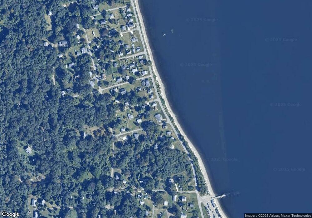
Map
Nearby Homes
- 125 Homestead Ave
- 0 Governor Paine Rd
- 33 Alden Ave
- 272 Carnegie Harbor Dr
- 178 Carnegie Harbor Dr
- 1 Tower Dr Unit 1106
- 1 Tower Dr Unit 1203
- 1 Tower Dr Unit 302
- 1 Tower Dr Unit 101
- 1 Tower Dr Unit 1806
- 1 Tower Dr Unit 406
- 1 Tower Dr Unit 1201
- 59 Carnegie Harbor Dr
- 4 Lookout Ln Unit 1
- 4 Lookout Ln
- 12 Lookout Ln
- 12 Lookout Ln Unit 3
- 0 Willow Ln Unit Leeward A
- 0 Willow Ln Unit Leeward B
- 44 Wimbledon Cir
- 6 Harriet Ave
- 964 Narragansett Ave
- 830 Narragansett Ave
- 20 Harriet Ave
- 14 Harriet Ave
- 986 Narragansett Ave
- 15 Chase Ave
- 15 Harriet Ave
- 992 Narragansett Ave
- 25 Chase Ave
- 956 Narragansett Rd
- 12 Alice Ave
- 840 Narragansett Ave
- 0 Chase Ave
- 28 Harriet Ave
- 1002 Narragansett Ave
- 948 Narragansett Ave
- 27 Harriet Ave
- 944 Narragansett Ave
- 39 Merrill Ln