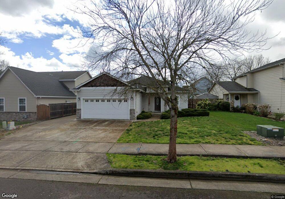
974 Tasha Way Lebanon, OR 97355
Estimated Value: $403,926 - $420,000
3
Beds
2
Baths
1,502
Sq Ft
$274/Sq Ft
Est. Value
About This Home
This home is located at 974 Tasha Way, Lebanon, OR 97355 and is currently estimated at $411,963, approximately $274 per square foot. 974 Tasha Way is a home located in Linn County with nearby schools including Riverview School, Seven Oak Middle School, and Lebanon High School.
Ownership History
Date
Name
Owned For
Owner Type
Purchase Details
Closed on
Jan 30, 2007
Sold by
Ladd Lucretia P
Bought by
Ladd Lucretia P and Ladd Richard
Current Estimated Value
Purchase Details
Closed on
Aug 8, 2005
Sold by
Cam Developmet Inc
Bought by
Ladd Lucretia P
Purchase Details
Closed on
Sep 29, 2004
Sold by
Clear View Ii Llc
Bought by
Cam Development Inc
Home Financials for this Owner
Home Financials are based on the most recent Mortgage that was taken out on this home.
Original Mortgage
$1,500,000
Interest Rate
5.76%
Mortgage Type
Purchase Money Mortgage
Create a Home Valuation Report for This Property
The Home Valuation Report is an in-depth analysis detailing your home's value as well as a comparison with similar homes in the area
Home Values in the Area
Average Home Value in this Area
Purchase History
| Date | Buyer | Sale Price | Title Company |
|---|---|---|---|
| Ladd Lucretia P | -- | None Available | |
| Ladd Lucretia P | $164,900 | First American Title | |
| Cam Development Inc | $132,000 | Lawyers Title Ins |
Source: Public Records
Mortgage History
| Date | Status | Borrower | Loan Amount |
|---|---|---|---|
| Previous Owner | Cam Development Inc | $1,500,000 |
Source: Public Records
Tax History Compared to Growth
Tax History
| Year | Tax Paid | Tax Assessment Tax Assessment Total Assessment is a certain percentage of the fair market value that is determined by local assessors to be the total taxable value of land and additions on the property. | Land | Improvement |
|---|---|---|---|---|
| 2024 | $4,529 | $214,070 | -- | -- |
| 2023 | $4,383 | $207,840 | $0 | $0 |
| 2022 | $4,290 | $201,790 | $0 | $0 |
| 2021 | $4,138 | $195,920 | $0 | $0 |
| 2020 | $4,086 | $190,220 | $0 | $0 |
| 2019 | $3,883 | $184,680 | $0 | $0 |
| 2018 | $3,852 | $179,310 | $0 | $0 |
| 2017 | $3,524 | $174,090 | $0 | $0 |
| 2016 | $3,198 | $169,020 | $0 | $0 |
| 2015 | $3,073 | $164,100 | $0 | $0 |
| 2014 | $2,941 | $159,330 | $0 | $0 |
Source: Public Records
Map
Nearby Homes
- 2361 Kokanee Way
- 2368 Kokanee Way
- 2380 Mountain River Dr
- 2351 Gleanns Way
- 2432 Robbins Way
- 726 Cheadel Lake Ct
- 2100 Park Dr
- 32008 Moss St
- 301 Russell St
- 32763 Berlin Rd
- 0 S Santiam (Lot Unit 102) Hwy
- 0 S Santiam Hwy Unit 321692493
- 357 Water's Edge Ct
- 371 Lydia Ln
- 300 Water's Edge Ct
- 2187 Mill St
- 372 Jennings St
- 732 Harmony St
- 372 Berry St
- 2101 Primrose St