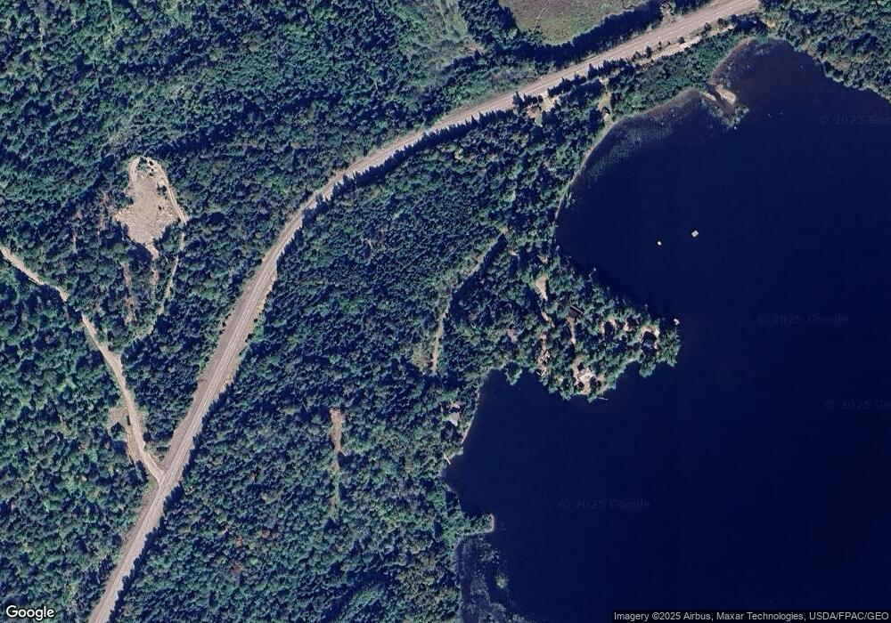
974 the Arnold Trail Eustis, ME 04936
Estimated Value: $242,000 - $427,000
3
Beds
1
Bath
864
Sq Ft
$361/Sq Ft
Est. Value
About This Home
This home is located at 974 the Arnold Trail, Eustis, ME 04936 and is currently estimated at $311,553, approximately $360 per square foot. 974 the Arnold Trail is a home located in Franklin County with nearby schools including Stratton Elementary School.
Ownership History
Date
Name
Owned For
Owner Type
Purchase Details
Closed on
Mar 29, 2018
Sold by
Lajoie Daniel
Bought by
Marsh Roxanne
Current Estimated Value
Home Financials for this Owner
Home Financials are based on the most recent Mortgage that was taken out on this home.
Original Mortgage
$85,500
Outstanding Balance
$73,107
Interest Rate
4.38%
Mortgage Type
New Conventional
Estimated Equity
$238,446
Purchase Details
Closed on
Mar 16, 2018
Sold by
Ames Ronald
Bought by
Lajoie Daniel
Home Financials for this Owner
Home Financials are based on the most recent Mortgage that was taken out on this home.
Original Mortgage
$85,500
Outstanding Balance
$73,107
Interest Rate
4.38%
Mortgage Type
New Conventional
Estimated Equity
$238,446
Purchase Details
Closed on
Mar 23, 2005
Sold by
Usa Dept Of Agriculture
Bought by
Ames Ronald
Create a Home Valuation Report for This Property
The Home Valuation Report is an in-depth analysis detailing your home's value as well as a comparison with similar homes in the area
Purchase History
| Date | Buyer | Sale Price | Title Company |
|---|---|---|---|
| Marsh Roxanne | -- | -- | |
| Lajoie Daniel | -- | -- | |
| Ames Ronald | -- | -- | |
| Marsh Roxanne | -- | -- |
Source: Public Records
Mortgage History
| Date | Status | Borrower | Loan Amount |
|---|---|---|---|
| Open | Marsh Roxanne | $85,500 | |
| Closed | Marsh Roxanne | $85,500 | |
| Closed | Lajoie Daniel | $70,000 |
Source: Public Records
Tax History
| Year | Tax Paid | Tax Assessment Tax Assessment Total Assessment is a certain percentage of the fair market value that is determined by local assessors to be the total taxable value of land and additions on the property. | Land | Improvement |
|---|---|---|---|---|
| 2024 | $1,287 | $147,100 | $47,400 | $99,700 |
| 2023 | $1,257 | $140,500 | $40,800 | $99,700 |
| 2022 | $1,131 | $119,100 | $40,800 | $78,300 |
| 2021 | $1,193 | $92,500 | $32,300 | $60,200 |
| 2020 | $1,166 | $93,300 | $32,300 | $61,000 |
| 2019 | $1,140 | $94,200 | $32,300 | $61,900 |
| 2018 | $1,234 | $94,200 | $32,300 | $61,900 |
| 2017 | $1,235 | $95,000 | $32,300 | $62,700 |
| 2016 | $1,213 | $95,000 | $32,300 | $62,700 |
| 2015 | $1,265 | $95,800 | $32,300 | $63,500 |
| 2014 | -- | $97,000 | $32,300 | $64,700 |
| 2009 | -- | $100,200 | $32,400 | $67,800 |
Source: Public Records
Map
Nearby Homes
- 60&66 Gravel Pit Rd
- 6-01 Eustis Ridge Rd
- 600 Arnold Trail
- 54 Eustis Village Rd
- 59 Eustis Village Rd
- 233 Porter Nadeau Rd
- 33A Eustis Village Rd
- 95-4 Lot D Porter Nadeau Rd
- 118 Glidden Rd
- 484 Eustis Ridge Rd
- 1480 Arnold Trail
- 27 Peabody Rd
- 9 Tranquility Ln
- 186 Main St
- 128 Main St
- 14 Dam Rd
- 12 Bog Rd
- 64 Ip Rd
- 42 Rabbit Hollow Rd
- 4004 Bigelow Station
- 974 Arnold Trail
- 980 the Arnold Trail
- 984 the Arnold Trail
- 964 the Arnold Trail
- 965 the Arnold Trail
- 986 the Arnold Trail
- 981 the Arnold Trail
- 985 Arnold Trail Rd
- 992 Arnold Trail
- 991 the Arnold Trail
- 999 Arnold Trail Rd
- 1004 Route 27
- 1004 the Arnold Trail
- R11-003 Eustis Ridge Rd
- 00 Off Eustis Ridge Rd
- 4 Eustis Ridge Rd
- Lot 4 Eustis Ridge Rd
- 42 Perry Rd
- 1019 the Arnold Trail
- 8 Perry Rd
