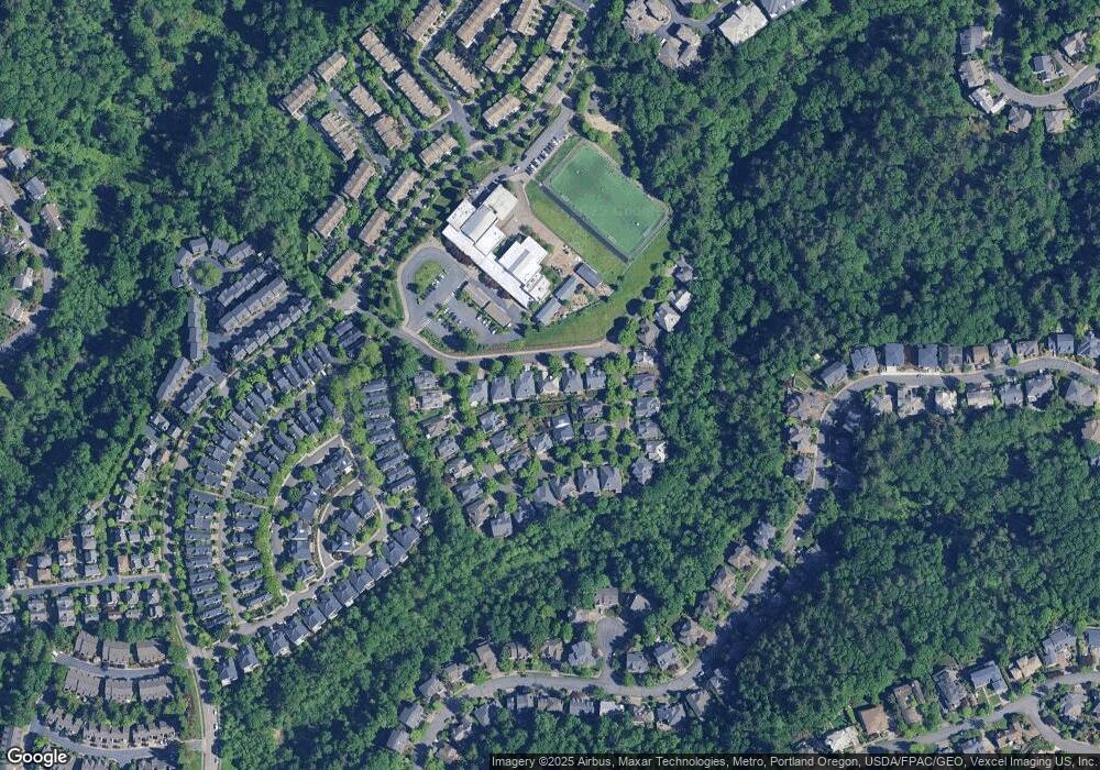
9742 NW Durrett St Portland, OR 97229
Northwest Heights NeighborhoodEstimated Value: $777,000 - $791,029
3
Beds
3
Baths
2,542
Sq Ft
$309/Sq Ft
Est. Value
About This Home
This home is located at 9742 NW Durrett St, Portland, OR 97229 and is currently estimated at $786,007, approximately $309 per square foot. 9742 NW Durrett St is a home located in Multnomah County with nearby schools including Forest Park Elementary School, West Sylvan Middle School, and Lincoln High School.
Ownership History
Date
Name
Owned For
Owner Type
Purchase Details
Closed on
May 28, 2008
Sold by
Soper Taylor G
Bought by
Soper T Gray and Tanaka Mitsuko
Current Estimated Value
Purchase Details
Closed on
Jul 15, 1999
Sold by
Miller Hollow Portland Llc
Bought by
Soper Taylor Gray and Tanaka Mitsuko
Home Financials for this Owner
Home Financials are based on the most recent Mortgage that was taken out on this home.
Original Mortgage
$205,000
Interest Rate
3.95%
Mortgage Type
Purchase Money Mortgage
Create a Home Valuation Report for This Property
The Home Valuation Report is an in-depth analysis detailing your home's value as well as a comparison with similar homes in the area
Home Values in the Area
Average Home Value in this Area
Purchase History
| Date | Buyer | Sale Price | Title Company |
|---|---|---|---|
| Soper T Gray | -- | None Available | |
| Soper Taylor Gray | $311,706 | Oregon Title Insurance Co |
Source: Public Records
Mortgage History
| Date | Status | Borrower | Loan Amount |
|---|---|---|---|
| Previous Owner | Soper Taylor Gray | $205,000 |
Source: Public Records
Tax History Compared to Growth
Tax History
| Year | Tax Paid | Tax Assessment Tax Assessment Total Assessment is a certain percentage of the fair market value that is determined by local assessors to be the total taxable value of land and additions on the property. | Land | Improvement |
|---|---|---|---|---|
| 2024 | $12,398 | $463,830 | -- | -- |
| 2023 | $11,922 | $450,330 | $0 | $0 |
| 2022 | $11,664 | $437,220 | $0 | $0 |
| 2021 | $11,342 | $424,490 | $0 | $0 |
| 2020 | $9,971 | $412,130 | $0 | $0 |
| 2019 | $9,960 | $400,130 | $0 | $0 |
| 2018 | $9,834 | $388,480 | $0 | $0 |
| 2017 | $9,425 | $377,170 | $0 | $0 |
| 2016 | $8,625 | $366,190 | $0 | $0 |
| 2015 | $7,871 | $355,530 | $0 | $0 |
| 2014 | $7,311 | $345,180 | $0 | $0 |
Source: Public Records
Map
Nearby Homes
- 9728 NW Kaylee St
- 9614 NW Durrett St
- 2541 NW Marsden Place
- 2455 NW Birkendene St
- 9926 NW Justus Ln Unit 27
- 2475 NW Birkendene St
- 2522 NW Miller Rd Unit 22
- 2512 NW Miller Rd Unit 20
- 10071 NW Jack Ln Unit 83
- 2635 NW Kennedy Ct Unit 133
- 2865 NW Kennedy Ct Unit 57
- 10175 NW Wilshire Ln Unit 40
- 10223 NW Wilshire Ln Unit 37
- 2377 NW Burkhart Dr
- 10275 NW Wilshire Ln Unit 19
- 3027 NW Montara Loop
- 3058 NW Montara Loop
- 9907 NW Bartholomew Dr
- 3023 NW Spencer St
- 2247 NW Miller Rd Unit 1
- 9738 NW Durrett St
- 9820 NW Durrett St
- 9739 NW Kaylee St
- 9824 NW Durrett St
- 9734 NW Durrett St
- 9813 NW Kaylee St
- 2533 NW Rhodes Ln
- 2529 NW Rhodes Ln
- 9828 NW Durrett St
- 2530 NW Marsden Place
- 2526 NW Marsden Place
- 2538 NW Rhodes Ln
- 2530 NW Rhodes Ln
- 2538 NW Durrett St (32)
- 9740 NW Kaylee St
- 9736 NW Kaylee St
- 9726 NW Durrett St
- 2526 NW Rhodes Ln
- 9732 NW Kaylee St
- 9818 NW Kaylee St
