975 Greystone Dr Copperas Cove, TX 76522
Estimated Value: $235,281 - $293,000
3
Beds
2
Baths
1,268
Sq Ft
$208/Sq Ft
Est. Value
About This Home
This home is located at 975 Greystone Dr, Copperas Cove, TX 76522 and is currently estimated at $264,141, approximately $208 per square foot. 975 Greystone Dr is a home located in Coryell County with nearby schools including House Creek Elementary School, S.C. Lee Junior High School, and Copperas Cove High School.
Ownership History
Date
Name
Owned For
Owner Type
Purchase Details
Closed on
Aug 19, 2009
Sold by
Vanderlip Joseph C and Vanderlip Judith E
Bought by
Mcgrath Dennis
Current Estimated Value
Home Financials for this Owner
Home Financials are based on the most recent Mortgage that was taken out on this home.
Original Mortgage
$108,279
Outstanding Balance
$70,562
Interest Rate
5.2%
Mortgage Type
VA
Estimated Equity
$193,579
Create a Home Valuation Report for This Property
The Home Valuation Report is an in-depth analysis detailing your home's value as well as a comparison with similar homes in the area
Home Values in the Area
Average Home Value in this Area
Purchase History
| Date | Buyer | Sale Price | Title Company |
|---|---|---|---|
| Mcgrath Dennis | -- | -- |
Source: Public Records
Mortgage History
| Date | Status | Borrower | Loan Amount |
|---|---|---|---|
| Open | Mcgrath Dennis | $108,279 |
Source: Public Records
Tax History Compared to Growth
Tax History
| Year | Tax Paid | Tax Assessment Tax Assessment Total Assessment is a certain percentage of the fair market value that is determined by local assessors to be the total taxable value of land and additions on the property. | Land | Improvement |
|---|---|---|---|---|
| 2025 | $865 | $186,658 | -- | -- |
| 2023 | $865 | $154,263 | $0 | $0 |
| 2022 | $2,135 | $187,350 | $46,610 | $140,740 |
| 2021 | $2,283 | $127,490 | $16,360 | $111,130 |
| 2020 | $2,155 | $117,614 | $14,870 | $102,744 |
| 2019 | $2,139 | $112,650 | $13,380 | $99,270 |
| 2018 | $1,947 | $101,640 | $13,380 | $88,260 |
| 2017 | $1,912 | $102,700 | $13,380 | $89,320 |
| 2016 | $1,932 | $103,780 | $13,380 | $90,400 |
| 2015 | $1,671 | $106,840 | $11,150 | $95,690 |
| 2014 | $1,671 | $109,090 | $11,150 | $97,940 |
Source: Public Records
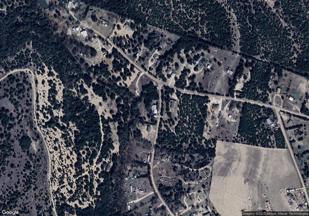
Map
Nearby Homes
- TBD Lakefront Dr
- 117206 Arrow Dr
- 117205 Arrow Dr
- 117204 Arrow Dr
- 1817 Lutheran Church Rd
- 753 Northern Hills Dr
- 730 Kenney Dr
- 155 Grand Canyon Dr
- 175 Grand Canyon Dr
- 815 Rocky Ln
- 1123 Twin Mountain Rd
- 1039 Twin Mountain Rd
- 631 Hilltop Dr
- 979 Wedgewood Dr
- 847 Twin Mountain Rd
- 951 Moseley Rd
- 1142 Lutheran Church Rd
- 3030 Millhouse Rd
- 547 Lost Trail Unit A & B
- 136 Julia Dr
- 951 Bluestem Dr
- 951 Blue Stem Dr
- 965 Greystone Dr
- 950 Blue Stem Dr
- 927 Bluestem Dr
- 937 Greystone Dr
- 920 Blue Stem Dr
- 908 Bluestem Dr
- 908 Blue Stem Dr
- 1020 Blue Stem Dr
- 896 Greystone Dr
- 886 Greystone Dr
- 954 Greystone Dr
- Lot Flintrock Dr
- 1.34 Acres Bluestem Dr
- 805 Flintrock Dr
- 740 Bluestem Dr
- 881 Blue Stem Dr
- 880 Blue Stem Dr
- N/A Flintrock Dr