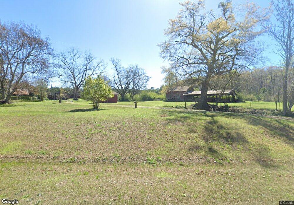
975 Kimbrough Rd Lagrange, GA 30240
Estimated Value: $295,000 - $913,924
3
Beds
1
Bath
2,134
Sq Ft
$239/Sq Ft
Est. Value
About This Home
This home is located at 975 Kimbrough Rd, Lagrange, GA 30240 and is currently estimated at $510,308, approximately $239 per square foot. 975 Kimbrough Rd is a home located in Troup County with nearby schools including Long Cane Elementary School, West Point Elementary School, and Berta Weathersbee Elementary School.
Ownership History
Date
Name
Owned For
Owner Type
Purchase Details
Closed on
May 12, 1994
Sold by
Render Turner J
Bought by
Turner Winston A
Current Estimated Value
Purchase Details
Closed on
Apr 29, 1981
Sold by
Turner J R Dr
Bought by
Render Turner J
Purchase Details
Closed on
Apr 28, 1981
Sold by
First Federal Savings & Loan
Bought by
Turner J R Dr
Purchase Details
Closed on
Jan 1, 1960
Bought by
First Federal Savings & Loan
Create a Home Valuation Report for This Property
The Home Valuation Report is an in-depth analysis detailing your home's value as well as a comparison with similar homes in the area
Purchase History
| Date | Buyer | Sale Price | Title Company |
|---|---|---|---|
| Turner Winston A | -- | -- | |
| Render Turner J | $50,000 | -- | |
| Turner J R Dr | -- | -- | |
| First Federal Savings & Loan | -- | -- |
Source: Public Records
Tax History Compared to Growth
Tax History
| Year | Tax Paid | Tax Assessment Tax Assessment Total Assessment is a certain percentage of the fair market value that is determined by local assessors to be the total taxable value of land and additions on the property. | Land | Improvement |
|---|---|---|---|---|
| 2025 | $2,647 | $270,960 | $200,840 | $70,120 |
| 2024 | $2,647 | $259,520 | $200,840 | $58,680 |
| 2023 | $1,837 | $248,720 | $200,840 | $47,880 |
| 2022 | $2,281 | $246,160 | $200,840 | $45,320 |
| 2021 | $2,050 | $176,376 | $141,560 | $34,816 |
| 2020 | $2,022 | $176,376 | $141,560 | $34,816 |
| 2019 | $1,992 | $176,256 | $141,560 | $34,696 |
| 2018 | $1,870 | $173,080 | $141,560 | $31,520 |
| 2017 | $1,845 | $173,080 | $141,560 | $31,520 |
| 2016 | $1,788 | $172,046 | $141,608 | $30,438 |
| 2015 | $1,933 | $65,958 | $41,058 | $24,900 |
| 2014 | $1,936 | $65,958 | $41,058 | $24,900 |
| 2013 | -- | $65,958 | $41,058 | $24,900 |
Source: Public Records
Map
Nearby Homes
- 106 Woodstream Trail
- 118 Woodstream Trail
- 102 Bridgewater Dr
- 394 Ferrell Tatum Rd
- 5714 W Point Rd
- 104 Hidden Springs Dr
- 104 Landings Way
- 102 Landings Way
- 106 Landings Way
- 101 Riverbluff Dr
- 114 Riverbluff Dr
- 3835 W Point Rd
- 109 Riverbluff Dr
- 201 Lakeview Ct
- 0 Robert Hayes Rd Unit 10611067
- 640 Hudson Rd
- 1248 Cannonville Rd
- 345 Robert Taylor Rd
- 119 Plymouth Dr
- 101 Ivy Springs Dr
- 0 Ferrell Tatum Rd Unit 178.447ac 8358601
- 0 Ferrell Tatum Rd Unit 14ac 7225318
- 0 Ferrell Tatum Rd Unit 11AC 7473191
- 0 Ferrell Tatum Rd Unit 11AC 7561141
- 0 Ferrell Tatum Rd Unit 29AC 7627200
- 0 Ferrell Tatum Rd Unit 8050105
- 0 Ferrell Tatum Rd Unit 9060115
- 0 Ferrell Tatum Rd Unit 178.447ac 8127894
- 960 Kimbrough Rd
- 116 Sweetwater Ct
- 114 Sweetwater Ct
- 1135 Kimbrough Rd
- 118 Sweetwater Ct
- 112 Sweetwater Ct
- 120 Sweetwater Ct
- 1059 Kimbrough Rd
- 110 Sweetwater Ct
- 1042 Kimbrough Rd
- 108 Sweetwater Ct
- 106 Sweetwater Ct
