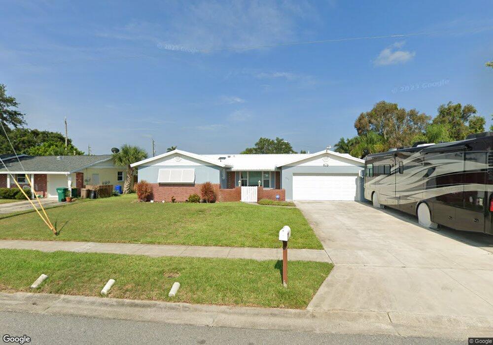
975 New Hampton Way Merritt Island, FL 32953
Estimated Value: $384,111 - $427,000
3
Beds
2
Baths
1,524
Sq Ft
$269/Sq Ft
Est. Value
About This Home
This home is located at 975 New Hampton Way, Merritt Island, FL 32953 and is currently estimated at $409,278, approximately $268 per square foot. 975 New Hampton Way is a home located in Brevard County with nearby schools including Audubon Elementary School, Thomas Jefferson Middle School, and Merritt Island High School.
Ownership History
Date
Name
Owned For
Owner Type
Purchase Details
Closed on
Jun 8, 2022
Sold by
Fleming Charles R and Fleming Patricia S
Bought by
Fleming Family Trust
Current Estimated Value
Purchase Details
Closed on
Jul 8, 1996
Sold by
Grabbe Hans A
Bought by
Fleming Charles R and Fleming Patricia S
Home Financials for this Owner
Home Financials are based on the most recent Mortgage that was taken out on this home.
Original Mortgage
$74,949
Interest Rate
7.99%
Create a Home Valuation Report for This Property
The Home Valuation Report is an in-depth analysis detailing your home's value as well as a comparison with similar homes in the area
Home Values in the Area
Average Home Value in this Area
Purchase History
| Date | Buyer | Sale Price | Title Company |
|---|---|---|---|
| Fleming Family Trust | -- | None Listed On Document | |
| Fleming Charles R | $75,000 | -- |
Source: Public Records
Mortgage History
| Date | Status | Borrower | Loan Amount |
|---|---|---|---|
| Previous Owner | Fleming Charles R | $74,949 |
Source: Public Records
Tax History Compared to Growth
Tax History
| Year | Tax Paid | Tax Assessment Tax Assessment Total Assessment is a certain percentage of the fair market value that is determined by local assessors to be the total taxable value of land and additions on the property. | Land | Improvement |
|---|---|---|---|---|
| 2025 | $1,512 | $114,270 | -- | -- |
| 2024 | $1,478 | $111,050 | -- | -- |
| 2023 | $1,478 | $107,820 | $0 | $0 |
| 2022 | $1,376 | $104,680 | $0 | $0 |
| 2021 | $1,393 | $101,640 | $0 | $0 |
| 2020 | $1,332 | $100,240 | $0 | $0 |
| 2019 | $1,268 | $97,990 | $0 | $0 |
| 2018 | $1,260 | $96,170 | $0 | $0 |
| 2017 | $1,253 | $94,200 | $0 | $0 |
| 2016 | $1,258 | $92,270 | $36,000 | $56,270 |
| 2015 | $1,275 | $91,630 | $30,000 | $61,630 |
| 2014 | $1,277 | $90,910 | $28,000 | $62,910 |
Source: Public Records
Map
Nearby Homes
- 955 Richland Ave
- 410 Caracas Dr
- 900 Richland Ave
- 270 Oahu Dr
- 900 Waikiki Dr
- 325 Wainai Dr
- 1035 Molaki Dr
- 410 Carrioca Ct
- 875 Waikiki Dr
- 1125 Outrigger Dr
- 300 Richland Ave
- 330 Jacala Dr
- 225 Richland Ave
- 755 Larkview St
- 1350 Taurus Ct
- 240 Riverside Ave
- 455 Riverside Ave
- 324 3rd St
- 135 Richland Ave
- 240 Belair Ave
- 985 New Hampton Way
- 965 New Hampton Way
- 970 Richland Ave
- 980 Richland Ave
- 960 Richland Ave
- 1005 New Hampton Way
- 955 New Hampton Way
- 400 Bacardi Dr
- 395 Bacardi Dr
- 950 Richland Ave
- 990 Richland Ave
- 1015 New Hampton Way
- 395 Caracas Dr
- 945 New Hampton Way
- 950 New Hampton Way
- 410 Bacardi Dr
- 940 Richland Ave
- 405 Bacardi Dr
- 965 Richland Ave
- 350 Tiki Dr