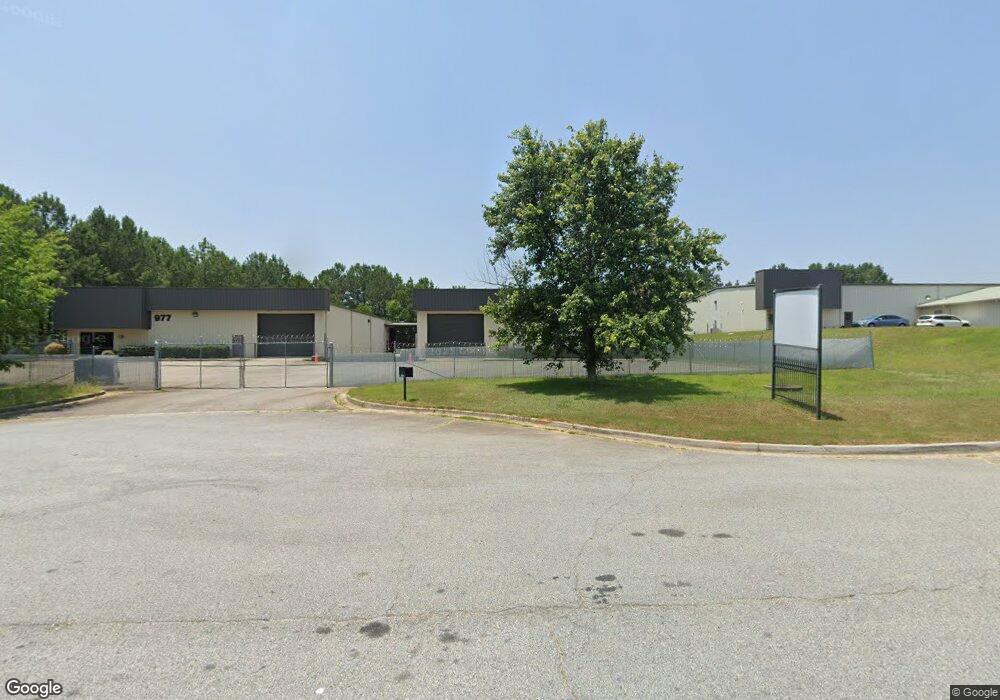
975 Patrick Industrial Ct Winder, GA 30680
Estimated Value: $1,751,197
--
Bed
--
Bath
20,000
Sq Ft
$88/Sq Ft
Est. Value
About This Home
This home is located at 975 Patrick Industrial Ct, Winder, GA 30680 and is currently estimated at $1,751,197, approximately $87 per square foot. 975 Patrick Industrial Ct is a home located in Barrow County with nearby schools including Kennedy Elementary School, Westside Middle School, and Apalachee High School.
Ownership History
Date
Name
Owned For
Owner Type
Purchase Details
Closed on
Mar 10, 2017
Sold by
Jmm Family Lp Lllp
Bought by
Barrett Jimmy C and Barrett Marilyn C
Current Estimated Value
Home Financials for this Owner
Home Financials are based on the most recent Mortgage that was taken out on this home.
Original Mortgage
$504,000
Outstanding Balance
$257,264
Interest Rate
4.17%
Mortgage Type
Commercial
Estimated Equity
$1,493,933
Purchase Details
Closed on
May 23, 2003
Sold by
Maynard David L
Bought by
Jmm Family
Purchase Details
Closed on
Mar 27, 2002
Sold by
Jmm Family Limited
Bought by
Maynard David L
Purchase Details
Closed on
May 21, 1998
Bought by
Jmm Family Limited
Create a Home Valuation Report for This Property
The Home Valuation Report is an in-depth analysis detailing your home's value as well as a comparison with similar homes in the area
Home Values in the Area
Average Home Value in this Area
Purchase History
| Date | Buyer | Sale Price | Title Company |
|---|---|---|---|
| Barrett Jimmy C | $850,000 | -- | |
| Jmm Family | $698,300 | -- | |
| Maynard David L | $89,800 | -- | |
| Jmm Family Limited | -- | -- |
Source: Public Records
Mortgage History
| Date | Status | Borrower | Loan Amount |
|---|---|---|---|
| Open | Barrett Jimmy C | $504,000 |
Source: Public Records
Tax History Compared to Growth
Tax History
| Year | Tax Paid | Tax Assessment Tax Assessment Total Assessment is a certain percentage of the fair market value that is determined by local assessors to be the total taxable value of land and additions on the property. | Land | Improvement |
|---|---|---|---|---|
| 2024 | $10,224 | $409,028 | $54,180 | $354,848 |
| 2023 | $11,770 | $409,028 | $54,180 | $354,848 |
| 2022 | $10,565 | $411,522 | $54,180 | $357,342 |
| 2021 | $8,424 | $272,018 | $24,000 | $248,018 |
| 2020 | $8,447 | $272,018 | $24,000 | $248,018 |
| 2019 | $8,597 | $272,018 | $24,000 | $248,018 |
| 2018 | $8,248 | $265,520 | $24,000 | $241,520 |
| 2017 | $6,490 | $222,899 | $18,000 | $204,899 |
| 2016 | $5,899 | $190,264 | $18,000 | $172,264 |
| 2015 | $5,169 | $194,394 | $18,000 | $176,394 |
| 2014 | $6,183 | $192,040 | $13,440 | $178,600 |
| 2013 | -- | $188,790 | $11,760 | $177,030 |
Source: Public Records
Map
Nearby Homes
- 1120 Carl Bethlehem Rd
- 0 Patrick Mill Rd SW Unit 10654215
- 0 Patrick Mill Rd SW Unit 7689708
- 721 Loblolly Ln
- 903 Kendall Park Dr
- 138 Livingston Ct
- 1411 Silvergate Way
- 834 Kendall Park Dr Unit 1
- 32 Livingston Ct
- 933 Kendall Park Dr
- 1237 Carl Bethlehem Rd
- 784 Morris Ln
- 38 Holland Cove
- 37 Holland Cove
- 47 Holland Cove
- 50 Holland Cove
- 57 Holland Cove
- 62 Holland Cove
- 79 Holland Cove
- 298 Englewood Rd
- 605 Patrick Industrial Dr Unit E/F
- 1024 Carl Bethlehem Rd
- 290 Englewood Rd Unit 2
- 799 Bill Rutledge Rd
- 807 Bill Rutledge Rd
- 813 Bill Rutledge Rd
- 789 Bill Rutledge Rd
- 828 Bill Rutledge Rd
- 773 Bill Rutledge Rd
- 278 Englewood Rd
- 1094 Carl Bethlehem Rd
- 1102 Carl Bethlehem Rd
- 833 Bill Rutledge Rd Unit 1
- 833 Bill Rutledge Rd
- 1106 Carl Bethlehem Rd
- 458 Patrick Mill Rd SW
- 265 Englewood Rd
- 996 Carl Bethlehem Rd
- 1093 Carl Bethlehem Rd