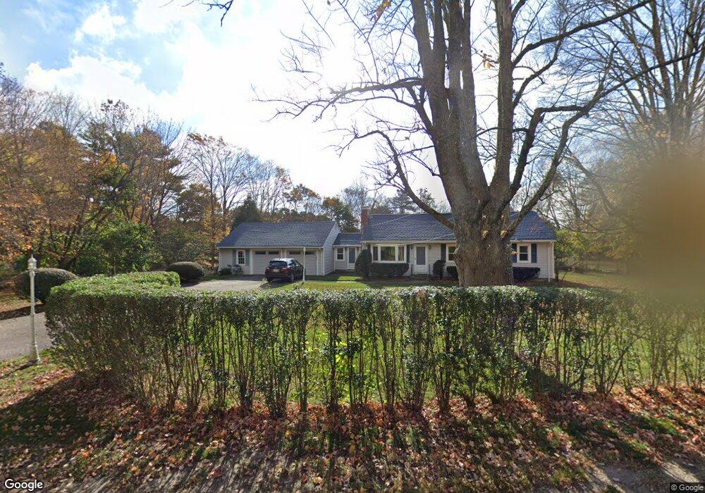
975 West St Wrentham, MA 02093
Sheldonville NeighborhoodEstimated Value: $568,000 - $698,000
3
Beds
1
Bath
1,388
Sq Ft
$443/Sq Ft
Est. Value
About This Home
This home is located at 975 West St, Wrentham, MA 02093 and is currently estimated at $614,677, approximately $442 per square foot. 975 West St is a home located in Norfolk County with nearby schools including Delaney Elementary School, Charles E Roderick, and Mercymount Country Day School.
Ownership History
Date
Name
Owned For
Owner Type
Purchase Details
Closed on
Aug 6, 2024
Sold by
Dobek Peter P and Dobek Mary L
Bought by
Dobek Lt and Dobek
Current Estimated Value
Purchase Details
Closed on
Sep 4, 1996
Sold by
Kamphenkel Fred P and Kamphenkel Jean E
Bought by
Dobek Peter P and Dobek Mary L
Create a Home Valuation Report for This Property
The Home Valuation Report is an in-depth analysis detailing your home's value as well as a comparison with similar homes in the area
Home Values in the Area
Average Home Value in this Area
Purchase History
| Date | Buyer | Sale Price | Title Company |
|---|---|---|---|
| Dobek Lt | -- | None Available | |
| Dobek Lt | -- | None Available | |
| Dobek Peter P | $170,500 | -- |
Source: Public Records
Mortgage History
| Date | Status | Borrower | Loan Amount |
|---|---|---|---|
| Previous Owner | Dobek Peter P | $151,000 | |
| Previous Owner | Dobek Peter P | $126,000 |
Source: Public Records
Tax History Compared to Growth
Tax History
| Year | Tax Paid | Tax Assessment Tax Assessment Total Assessment is a certain percentage of the fair market value that is determined by local assessors to be the total taxable value of land and additions on the property. | Land | Improvement |
|---|---|---|---|---|
| 2025 | $6,107 | $526,900 | $254,300 | $272,600 |
| 2024 | $5,651 | $470,900 | $254,300 | $216,600 |
| 2023 | $5,425 | $429,900 | $231,300 | $198,600 |
| 2022 | $5,606 | $410,100 | $225,000 | $185,100 |
| 2021 | $5,435 | $386,300 | $210,200 | $176,100 |
| 2020 | $4,631 | $325,000 | $160,500 | $164,500 |
| 2019 | $4,324 | $306,200 | $144,500 | $161,700 |
| 2018 | $4,309 | $302,600 | $144,600 | $158,000 |
| 2017 | $4,033 | $283,000 | $141,800 | $141,200 |
| 2016 | $3,946 | $276,300 | $137,700 | $138,600 |
| 2015 | $4,036 | $269,400 | $147,100 | $122,300 |
| 2014 | $3,970 | $259,300 | $141,500 | $117,800 |
Source: Public Records
Map
Nearby Homes
- 995 West St
- 2 Burnt Swamp Rd
- 999 West St
- 965 West St
- Bay 12 Townline Park Unit 11
- Bay 11 Townline Park Unit 11
- 996 West St
- 962 West St
- 1011 West St
- Lot A West St
- 50 Burnt Swamp Rd
- 945 West St
- 0 Route 121 & Sunny Meadow Unit 4653455
- 0 Route 121 & Sunny Meadow Dr Unit 4744023
- 1022 West St
- 960 West St
- 1023 West St
- 53 Burnt Swamp Rd
- 1032 West St
- 930 West St