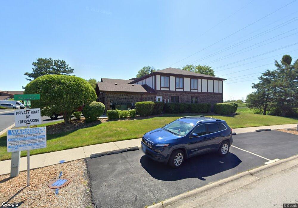
9753 Mill Dr E Unit B1 Palos Park, IL 60464
Palos Park West NeighborhoodEstimated Value: $255,000 - $291,000
2
Beds
2
Baths
6,118
Sq Ft
$44/Sq Ft
Est. Value
About This Home
This home is located at 9753 Mill Dr E Unit B1, Palos Park, IL 60464 and is currently estimated at $269,455, approximately $44 per square foot. 9753 Mill Dr E Unit B1 is a home located in Cook County with nearby schools including Palos West Elementary School, Palos South Middle School, and Amos Alonzo Stagg High School.
Ownership History
Date
Name
Owned For
Owner Type
Purchase Details
Closed on
Dec 6, 2017
Sold by
Kay Betty J and Peterson Laurel
Bought by
Chicago Title Land Trust Company and Trust Number 8002376578
Current Estimated Value
Purchase Details
Closed on
Mar 11, 2013
Sold by
Kay Betty L
Bought by
Kay Betty J and Peterson Laurel
Create a Home Valuation Report for This Property
The Home Valuation Report is an in-depth analysis detailing your home's value as well as a comparison with similar homes in the area
Home Values in the Area
Average Home Value in this Area
Purchase History
| Date | Buyer | Sale Price | Title Company |
|---|---|---|---|
| Chicago Title Land Trust Company | $148,000 | Advisors Title Network Llc | |
| Kay Betty J | -- | None Available |
Source: Public Records
Tax History
| Year | Tax Paid | Tax Assessment Tax Assessment Total Assessment is a certain percentage of the fair market value that is determined by local assessors to be the total taxable value of land and additions on the property. | Land | Improvement |
|---|---|---|---|---|
| 2025 | $855 | $21,622 | $3,463 | $18,159 |
| 2024 | $855 | $21,622 | $3,463 | $18,159 |
| 2023 | $1,082 | $21,622 | $3,463 | $18,159 |
| 2022 | $1,082 | $15,233 | $2,793 | $12,440 |
| 2021 | $975 | $15,232 | $2,792 | $12,440 |
| 2020 | $876 | $15,232 | $2,792 | $12,440 |
| 2019 | $939 | $13,849 | $2,569 | $11,280 |
| 2018 | $1,765 | $13,849 | $2,569 | $11,280 |
| 2017 | $3,096 | $13,849 | $2,569 | $11,280 |
| 2016 | $2,162 | $13,193 | $2,234 | $10,959 |
| 2015 | $3,167 | $13,193 | $2,234 | $10,959 |
| 2014 | $1,530 | $13,193 | $2,234 | $10,959 |
| 2013 | $1,469 | $12,807 | $2,234 | $10,573 |
Source: Public Records
Map
Nearby Homes
- 9748 Mill Dr E Unit 2E
- 12908 Mill Dr E Unit 1B
- 9724 W Creek Rd Unit E2
- 9724 W Creek Rd Unit B2
- 12856 S Brian Place
- 7 Mccord Trace
- 9836 W Circle Pkwy
- 11000 W 131st St
- 9590 Southmoor Dr
- 10050 W 127th St
- 13330 Strandhill Dr
- 10300 Village Circle Dr Unit 1109
- 10300 Village Circle Dr Unit 4407
- 12407 S 91st Ave
- 13348 S Stephen Dr
- 13250 Jean Creek Dr
- 13210 Georgetown Dr
- 13801 92nd Ave
- 13332 S 88th Ave
- 13941 John Humphrey Dr Unit 23
- 9753 Mill Dr E Unit E1L15
- 9753 Mill Dr E Unit B2L15
- 9753 Mill Dr E Unit B1L15
- 9753 Mill Dr E Unit E2L15
- 9749 Mill Dr E Unit B1
- 9749 Mill Dr E Unit E1L14
- 9749 Mill Dr E Unit B1L14
- 9749 Mill Dr E Unit E2L14
- 9749 Mill Dr E Unit B2L14
- 9749 Mill Dr E Unit 1L14
- 9749 Mill Dr E Unit E1
- 9756 Mill Dr E Unit B1L16
- 9756 Mill Dr E Unit E2L16
- 9756 Mill Dr E Unit B2L16
- 9756 Mill Dr E Unit E1L16
- 9756 Mill Dr E Unit B2
- 9756 Mill Dr E Unit E1
- 9756 Mill Dr E Unit 1W
- 9756 Mill Dr E Unit E-B1
- 9756 Mill Dr E Unit B1
Your Personal Tour Guide
Ask me questions while you tour the home.