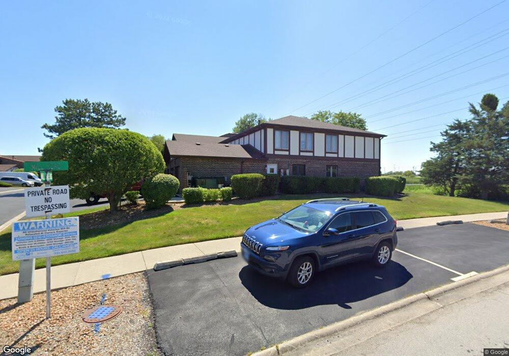
9753 Mill Dr E Unit E1L15 Palos Park, IL 60464
Palos Park West NeighborhoodEstimated Value: $236,275 - $290,000
Studio
--
Bath
6,118
Sq Ft
$43/Sq Ft
Est. Value
About This Home
This home is located at 9753 Mill Dr E Unit E1L15, Palos Park, IL 60464 and is currently estimated at $261,819, approximately $42 per square foot. 9753 Mill Dr E Unit E1L15 is a home located in Cook County with nearby schools including Palos West Elementary School, Palos South Middle School, and Amos Alonzo Stagg High School.
Ownership History
Date
Name
Owned For
Owner Type
Purchase Details
Closed on
May 15, 2006
Sold by
Petropoulis Peggy
Bought by
Petropoulis Peggy and Peggy Petropoulis Revocable Trust
Current Estimated Value
Purchase Details
Closed on
Jul 24, 2004
Sold by
Janulis William P
Bought by
Petropoulis Peggy
Home Financials for this Owner
Home Financials are based on the most recent Mortgage that was taken out on this home.
Original Mortgage
$140,000
Outstanding Balance
$67,806
Interest Rate
6.08%
Mortgage Type
Unknown
Estimated Equity
$194,013
Create a Home Valuation Report for This Property
The Home Valuation Report is an in-depth analysis detailing your home's value as well as a comparison with similar homes in the area
Home Values in the Area
Average Home Value in this Area
Purchase History
| Date | Buyer | Sale Price | Title Company |
|---|---|---|---|
| Petropoulis Peggy | -- | None Available | |
| Petropoulis Peggy | $175,000 | Pntn |
Source: Public Records
Mortgage History
| Date | Status | Borrower | Loan Amount |
|---|---|---|---|
| Open | Petropoulis Peggy | $140,000 |
Source: Public Records
Tax History
| Year | Tax Paid | Tax Assessment Tax Assessment Total Assessment is a certain percentage of the fair market value that is determined by local assessors to be the total taxable value of land and additions on the property. | Land | Improvement |
|---|---|---|---|---|
| 2025 | $4,258 | $19,078 | $3,056 | $16,022 |
| 2024 | $4,258 | $19,078 | $3,056 | $16,022 |
| 2023 | $3,680 | $19,078 | $3,056 | $16,022 |
| 2022 | $3,680 | $13,440 | $2,464 | $10,976 |
| 2021 | $3,406 | $13,440 | $2,464 | $10,976 |
| 2020 | $3,284 | $13,440 | $2,464 | $10,976 |
| 2019 | $2,898 | $12,219 | $2,267 | $9,952 |
| 2018 | $2,814 | $12,219 | $2,267 | $9,952 |
| 2017 | $2,732 | $12,219 | $2,267 | $9,952 |
| 2016 | $2,824 | $11,640 | $1,971 | $9,669 |
| 2015 | $2,794 | $11,640 | $1,971 | $9,669 |
| 2014 | $2,765 | $11,640 | $1,971 | $9,669 |
| 2013 | $2,518 | $11,300 | $1,971 | $9,329 |
Source: Public Records
Map
Nearby Homes
- 9748 Mill Dr E Unit 2E
- 12908 Mill Dr E Unit 1B
- 9724 W Creek Rd Unit E2
- 9724 W Creek Rd Unit B2
- 12856 S Brian Place
- 7 Mccord Trace
- 9836 W Circle Pkwy
- 9590 Southmoor Dr
- 11000 W 131st St
- 10050 W 127th St
- 13330 Strandhill Dr
- 10300 Village Circle Dr Unit 1109
- 10300 Village Circle Dr Unit 4407
- 12407 S 91st Ave
- 13348 S Stephen Dr
- 13250 Jean Creek Dr
- 13210 Georgetown Dr
- 13801 92nd Ave
- 13332 S 88th Ave
- 13941 John Humphrey Dr Unit 23
- 9753 Mill Dr E Unit B1
- 9753 Mill Dr E Unit B2L15
- 9753 Mill Dr E Unit B1L15
- 9753 Mill Dr E Unit E2L15
- 9749 Mill Dr E Unit B1
- 9749 Mill Dr E Unit E1L14
- 9749 Mill Dr E Unit B1L14
- 9749 Mill Dr E Unit E2L14
- 9749 Mill Dr E Unit B2L14
- 9749 Mill Dr E Unit 1L14
- 9749 Mill Dr E Unit E1
- 9756 Mill Dr E Unit B1L16
- 9756 Mill Dr E Unit E2L16
- 9756 Mill Dr E Unit B2L16
- 9756 Mill Dr E Unit E1L16
- 9756 Mill Dr E Unit B2
- 9756 Mill Dr E Unit E1
- 9756 Mill Dr E Unit 1W
- 9756 Mill Dr E Unit E-B1
- 9756 Mill Dr E Unit B1
Your Personal Tour Guide
Ask me questions while you tour the home.