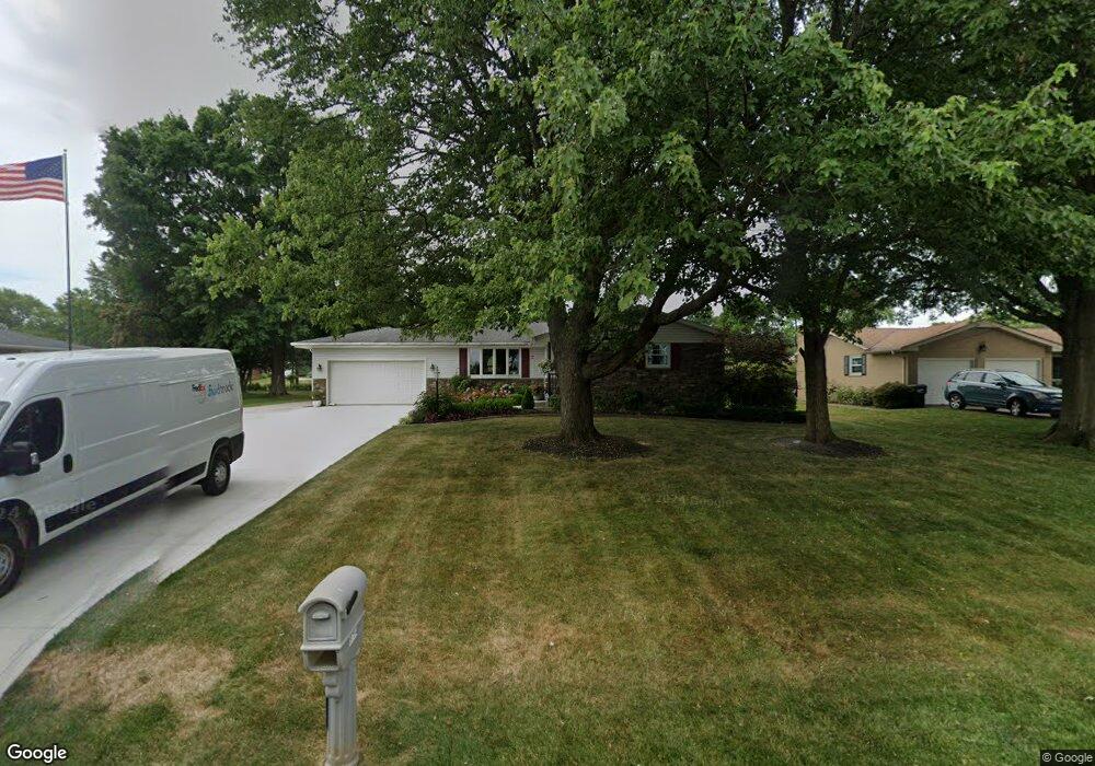
9754 Sommerville St Louisville, OH 44641
Estimated Value: $266,000 - $290,000
3
Beds
2
Baths
1,857
Sq Ft
$149/Sq Ft
Est. Value
About This Home
This home is located at 9754 Sommerville St, Louisville, OH 44641 and is currently estimated at $276,733, approximately $149 per square foot. 9754 Sommerville St is a home located in Stark County with nearby schools including Louisville High School and St. Thomas Aquinas High School & Middle School.
Ownership History
Date
Name
Owned For
Owner Type
Purchase Details
Closed on
Sep 27, 1994
Sold by
Miller Edwin A
Bought by
Gieseman Michael D and Gieseman Kimberly
Current Estimated Value
Home Financials for this Owner
Home Financials are based on the most recent Mortgage that was taken out on this home.
Original Mortgage
$142,500
Interest Rate
6.5%
Mortgage Type
New Conventional
Purchase Details
Closed on
Mar 18, 1988
Create a Home Valuation Report for This Property
The Home Valuation Report is an in-depth analysis detailing your home's value as well as a comparison with similar homes in the area
Home Values in the Area
Average Home Value in this Area
Purchase History
| Date | Buyer | Sale Price | Title Company |
|---|---|---|---|
| Gieseman Michael D | $95,500 | -- | |
| -- | $64,900 | -- |
Source: Public Records
Mortgage History
| Date | Status | Borrower | Loan Amount |
|---|---|---|---|
| Closed | Gieseman Michael D | $142,500 |
Source: Public Records
Tax History Compared to Growth
Tax History
| Year | Tax Paid | Tax Assessment Tax Assessment Total Assessment is a certain percentage of the fair market value that is determined by local assessors to be the total taxable value of land and additions on the property. | Land | Improvement |
|---|---|---|---|---|
| 2025 | -- | $83,830 | $14,950 | $68,880 |
| 2024 | -- | $83,830 | $14,950 | $68,880 |
| 2023 | $3,091 | $63,530 | $10,570 | $52,960 |
| 2022 | $3,098 | $63,530 | $10,570 | $52,960 |
| 2021 | $3,107 | $63,530 | $10,570 | $52,960 |
| 2020 | $2,635 | $56,910 | $9,520 | $47,390 |
| 2019 | $2,645 | $56,910 | $9,520 | $47,390 |
| 2018 | $2,637 | $56,910 | $9,520 | $47,390 |
| 2017 | $2,626 | $54,080 | $8,930 | $45,150 |
| 2016 | $2,583 | $54,400 | $8,930 | $45,470 |
| 2015 | $2,590 | $54,400 | $8,930 | $45,470 |
| 2014 | $441 | $47,430 | $7,770 | $39,660 |
| 2013 | $1,224 | $47,430 | $7,770 | $39,660 |
Source: Public Records
Map
Nearby Homes
- 2015 E Main St
- 5495 Meese Rd NE
- 2110 Edmar St
- 1812 E Broad St
- 5765 Maplegrove St
- 1715 High St
- 3390 Meese Rd NE
- 0 Michigan Blvd
- 6052 N Nickelplate St
- 308 Superior St
- 641 S Nickelplate St
- 520 S Silver St
- 1170 Winding Ridge Ave
- 728 E Broad St
- 910 Crosswyck Cir
- 908 Sand Lot Cir
- 325 Lincoln Ave
- 204 E Broad St
- 510 S Bauman Ct
- 107 E Broad St
- 9772 Sommerville St
- 9734 Sommerville St
- 9745 Sommerville St
- 9790 Sommerville St
- 9785 Sommerville St
- 9714 Sommerville St
- 9729 Sommerville St
- 9700 Sommerville St
- 9721 Louisville St
- 9745 Louisville St
- 4544 Lakeknoll St
- 9687 Louisville St
- 9709 Sommerville St
- 4516 Lakeknoll St
- 9777 Louisville St
- 4500 Lakeknoll St
- 9682 Sommerville St
- 4575 Lakeknoll St
- 4527 Foster Dr NE
- 4527 Foster Dr