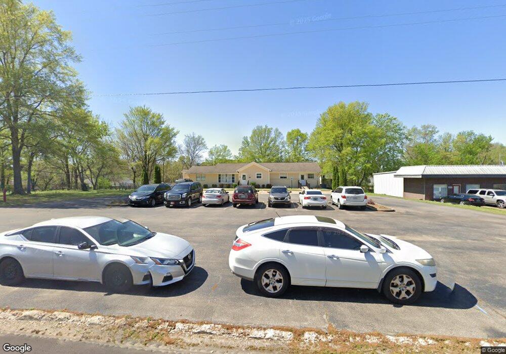
9757 Highway 178 Olive Branch, MS 38654
Estimated Value: $317,100
About This Home
This home is located at 9757 Highway 178, Olive Branch, MS 38654 and is currently priced at $317,100, approximately $156 per square foot. 9757 Highway 178 is a home located in DeSoto County with nearby schools including Olive Branch Elementary School, Chickasaw Elementary School, and Olive Branch Middle School.
Ownership History
We collect this data history from publicly available records. To have your information removed, we recommend requesting removal directly through your county’s website.
Purchase Details
Home Financials for this Owner
Home Financials are based on the most recent Mortgage that was taken out on this home.Purchase Details
Purchase Details
Home Financials for this Owner
Home Financials are based on the most recent Mortgage that was taken out on this home.Purchase Details
Home Financials for this Owner
Home Financials are based on the most recent Mortgage that was taken out on this home.Purchase Details
Home Financials for this Owner
Home Financials are based on the most recent Mortgage that was taken out on this home.Home Values in the Area
Average Home Value in this Area
Purchase History
We collect this data history from publicly available records. To have your information removed, we recommend requesting removal directly through your county’s website.
| Date | Buyer | Sale Price | Title Company |
|---|---|---|---|
| -- | None Listed On Document | ||
| -- | Memphis Title | ||
| -- | None Available | ||
| -- | None Available | ||
| -- | None Available |
Mortgage History
We collect this data history from publicly available records. To have your information removed, we recommend requesting removal directly through your county’s website.
| Date | Status | Borrower | Loan Amount |
|---|---|---|---|
| Open | $519,300 | ||
| Closed | $519,300 | ||
| Previous Owner | $145,378 | ||
| Previous Owner | $100,000 |
Tax History
We collect this data history from publicly available records. To have your information removed, we recommend requesting removal directly through your county’s website.
| Year | Tax Paid | Tax Assessment Tax Assessment Total Assessment is a certain percentage of the fair market value that is determined by local assessors to be the total taxable value of land and additions on the property. | Land | Improvement |
|---|---|---|---|---|
| 2025 | $3,297 | $28,477 | $6,000 | $22,477 |
| 2024 | $2,976 | $21,804 | $6,000 | $15,804 |
| 2023 | $2,976 | $21,804 | $0 | $0 |
| 2022 | $2,976 | $21,804 | $6,000 | $15,804 |
| 2021 | $2,976 | $21,804 | $6,000 | $15,804 |
| 2020 | $2,803 | $20,537 | $6,000 | $14,537 |
| 2019 | $2,803 | $20,537 | $6,000 | $14,537 |
| 2017 | $2,668 | $32,886 | $19,443 | $13,443 |
| 2016 | $2,668 | $19,443 | $6,000 | $13,443 |
| 2015 | $2,668 | $32,886 | $19,443 | $13,443 |
| 2014 | $2,668 | $19,443 | $0 | $0 |
| 2013 | $2,590 | $19,443 | $0 | $0 |
Map
- 9730 Pigeon Roost Park Cir
- 9919 Adina Cove
- 9868 Sequoia Ln
- 6406 Cherokee Dr
- 6829 Maury Dr
- 6127 Morgan Manor Dr W
- 6849 Dogwood Manor W
- 9517 Mississippi 178
- 7550 Old Highway 78
- 9313 Pigeon Roost Rd
- 10331 Oak Leaf Dr
- 5944 Southbend Ln
- 5947 White Ridge Cir W
- 9284 Brooks Dr
- 10365 Curtis Dr
- 10372 Riggan Dr
- 5881 Morganton Dr
- 7182 Archer Ln
- 6902 Magnolia Dr
- 6411 Kristen Dr
- 9745 Highway 178
- 9745 Highway 178
- 9758 Pigeon Roost Park Cir
- 9742 Pigeon Roost Park Cir
- 9746 Pigeon Roost Park Cir
- 9770 Pigeon Roost Park Cir
- 9782 Pigeon Roost Park Cir
- 9738 Pigeon Roost Park Cir
- 9749 Pigeon Roost Park Cir
- 9794 Pigeon Roost Park Cir
- 8177 Highway Unit 178
- 9734 Pigeon Roost Park Cir
- 9806 Pigeon Roost Park Cir
- 9818 Pigeon Roost Park Cir
- 9726 Pigeon Roost Park Cir
- 9680 Stuart Cove
- 9727 Pigeon Roost Park Cir
- 9829 Leigh Ann Dr
- 6577 Kimberly Dr
- 9840 Pigeon Roost Park Cir
Ask me questions while you tour the home.