Estimated Value: $207,698 - $247,000
4
Beds
2
Baths
1,700
Sq Ft
$138/Sq Ft
Est. Value
About This Home
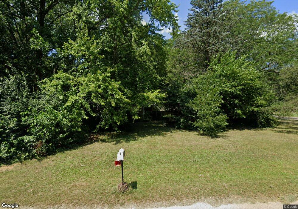
This home is located at 976 Ruth Ln, Niles, MI 49120 and is currently estimated at $234,425, approximately $137 per square foot. 976 Ruth Ln is a home located in Cass County with nearby schools including James Ellis School, Howard-Ellis Elementary School, and Oak Manor Sixth Grade Center.
Ownership History
Date
Name
Owned For
Owner Type
Purchase Details
Closed on
Nov 19, 2020
Sold by
Sattler Dale H
Bought by
Sattler Lois Irene
Current Estimated Value
Purchase Details
Closed on
Jun 10, 2004
Sold by
Pfister Roger L and Pfister Virginia M
Bought by
Sattler Dale H
Home Financials for this Owner
Home Financials are based on the most recent Mortgage that was taken out on this home.
Original Mortgage
$80,000
Outstanding Balance
$39,264
Interest Rate
6.06%
Mortgage Type
Purchase Money Mortgage
Estimated Equity
$195,161
Create a Home Valuation Report for This Property
The Home Valuation Report is an in-depth analysis detailing your home's value as well as a comparison with similar homes in the area
Home Values in the Area
Average Home Value in this Area
Purchase History
| Date | Buyer | Sale Price | Title Company |
|---|---|---|---|
| Sattler Lois Irene | -- | None Available | |
| Sattler Dale H | $80,000 | Meridian Title Company |
Source: Public Records
Mortgage History
| Date | Status | Borrower | Loan Amount |
|---|---|---|---|
| Open | Sattler Dale H | $80,000 |
Source: Public Records
Tax History
| Year | Tax Paid | Tax Assessment Tax Assessment Total Assessment is a certain percentage of the fair market value that is determined by local assessors to be the total taxable value of land and additions on the property. | Land | Improvement |
|---|---|---|---|---|
| 2025 | $1,727 | $105,300 | $105,300 | $0 |
| 2024 | $687 | $105,300 | $105,300 | $0 |
| 2023 | $655 | $100,700 | $0 | $0 |
| 2022 | $624 | $101,300 | $0 | $0 |
| 2021 | $2,432 | $67,700 | $0 | $0 |
| 2020 | $1,388 | $63,600 | $0 | $0 |
| 2019 | $1,338 | $61,900 | $0 | $0 |
| 2018 | $575 | $53,500 | $0 | $0 |
| 2017 | $570 | $53,100 | $0 | $0 |
| 2016 | $573 | $60,850 | $0 | $0 |
| 2015 | -- | $61,400 | $0 | $0 |
| 2011 | -- | $55,800 | $0 | $0 |
Source: Public Records
Map
Nearby Homes
- 2451 Spansail Dr
- V/L Kathryn St Unit Tract 3
- 0 Kathryn St Unit Tract 1
- 2112 Kathryn Dr
- 1999 Baldwin Dr
- 2298 Yankee St
- 1989 Baldwin Dr
- 892 Sullivan Rd
- 1638 Superior St
- 1621 Maple St
- 2354 Yankee St
- 607 N 18th St
- 851 Mobile Blvd Unit 4
- 1515 Inner Dr
- 324 S 15th St
- 214 S 15th St
- 0 S 15th St
- V/L S 15th St
- 115 Stowe Ct
- 1434 Sycamore St
Your Personal Tour Guide
Ask me questions while you tour the home.