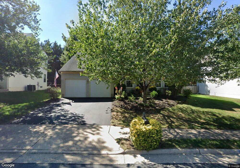
9762 Upper Mill Loop Bristow, VA 20136
Villages At Saybrooke NeighborhoodEstimated Value: $759,464 - $819,000
4
Beds
4
Baths
2,648
Sq Ft
$299/Sq Ft
Est. Value
About This Home
This home is located at 9762 Upper Mill Loop, Bristow, VA 20136 and is currently estimated at $791,866, approximately $299 per square foot. 9762 Upper Mill Loop is a home located in Prince William County with nearby schools including Patriot High School, Cedar Point Elementary School, and E.H. Marsteller Middle School.
Ownership History
Date
Name
Owned For
Owner Type
Purchase Details
Closed on
May 26, 2000
Sold by
Richmond Am Homes
Bought by
Brady John P
Current Estimated Value
Home Financials for this Owner
Home Financials are based on the most recent Mortgage that was taken out on this home.
Original Mortgage
$185,000
Outstanding Balance
$64,662
Interest Rate
8.1%
Estimated Equity
$727,204
Create a Home Valuation Report for This Property
The Home Valuation Report is an in-depth analysis detailing your home's value as well as a comparison with similar homes in the area
Home Values in the Area
Average Home Value in this Area
Purchase History
| Date | Buyer | Sale Price | Title Company |
|---|---|---|---|
| Brady John P | $242,390 | -- |
Source: Public Records
Mortgage History
| Date | Status | Borrower | Loan Amount |
|---|---|---|---|
| Open | Brady John P | $185,000 |
Source: Public Records
Tax History
| Year | Tax Paid | Tax Assessment Tax Assessment Total Assessment is a certain percentage of the fair market value that is determined by local assessors to be the total taxable value of land and additions on the property. | Land | Improvement |
|---|---|---|---|---|
| 2025 | $6,671 | $721,900 | $204,500 | $517,400 |
| 2024 | $6,671 | $670,800 | $194,600 | $476,200 |
| 2023 | $6,606 | $634,900 | $174,300 | $460,600 |
| 2022 | $6,614 | $597,200 | $154,900 | $442,300 |
| 2021 | $6,427 | $527,600 | $142,300 | $385,300 |
| 2020 | $7,381 | $476,200 | $126,800 | $349,400 |
| 2019 | $7,347 | $474,000 | $126,800 | $347,200 |
| 2018 | $5,434 | $450,000 | $120,700 | $329,300 |
| 2017 | $5,498 | $446,600 | $120,700 | $325,900 |
| 2016 | $5,171 | $423,600 | $108,800 | $314,800 |
| 2015 | $4,895 | $416,100 | $108,800 | $307,300 |
| 2014 | $4,895 | $392,000 | $103,700 | $288,300 |
Source: Public Records
Map
Nearby Homes
- 12017 Youngtree Ct
- 12149 Drum Salute Place
- 12151 Drum Salute Place
- 11821 Arcari Dr
- 12217 Wheat Mill Loop
- 12360 Corncrib Ct
- 12511 Heykens Ln
- 9322 Falling Water Dr
- 12458 Hadrians Ct
- 11863 Benton Lake Rd
- 9568 Tarvie Cir
- 10351 Spring Iris Dr
- 9249 Alvyn Lake Cir
- 9239 Dawkins Crest Cir
- 12172 Aster Rd
- 12203 Aster Rd
- 9822 Maitland Loop
- 9856 Maitland Loop
- 9884 Sounding Shore Ln
- 11701 Town Green Rd
- 9766 Upper Mill Loop
- 9758 Upper Mill Loop
- 9801 Luck Penny Ct
- 9805 Luck Penny Ct
- 9770 Upper Mill Loop
- 9763 Upper Mill Loop
- 9800 Luck Penny Ct
- 9767 Upper Mill Loop
- 12142 Hammond Ln
- 9759 Upper Mill Loop
- 9801 Saybrooke Dr
- 9771 Upper Mill Loop
- 9817 Luck Penny Ct
- 12016 Youngtree Ct
- 12000 Youngtree Ct
- 9774 Upper Mill Loop
- 12143 Hammond Ln
- 12008 Youngtree Ct
- 9754 Granary Place
- 12021 Youngtree Ct
Your Personal Tour Guide
Ask me questions while you tour the home.