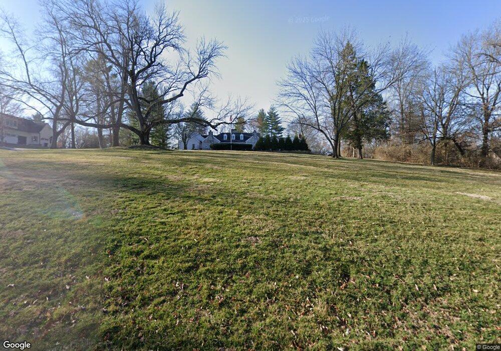
9764 Old Warson Rd Saint Louis, MO 63124
Estimated Value: $1,839,000 - $2,183,000
5
Beds
5
Baths
6,699
Sq Ft
$296/Sq Ft
Est. Value
About This Home
This home is located at 9764 Old Warson Rd, Saint Louis, MO 63124 and is currently estimated at $1,982,470, approximately $295 per square foot. 9764 Old Warson Rd is a home located in St. Louis County with nearby schools including Reed Elementary, Ladue 5th Grade Center, and Ladue Middle School.
Ownership History
Date
Name
Owned For
Owner Type
Purchase Details
Closed on
Sep 7, 2006
Sold by
Clark Ann S
Bought by
Hunt Scott E and Hunt Susan
Current Estimated Value
Home Financials for this Owner
Home Financials are based on the most recent Mortgage that was taken out on this home.
Original Mortgage
$600,000
Outstanding Balance
$357,961
Interest Rate
6.55%
Mortgage Type
Purchase Money Mortgage
Estimated Equity
$1,624,509
Purchase Details
Closed on
Oct 27, 2004
Sold by
Clark Peter L and Clark Ann S
Bought by
Clark Peter L and Clark Ann S
Create a Home Valuation Report for This Property
The Home Valuation Report is an in-depth analysis detailing your home's value as well as a comparison with similar homes in the area
Home Values in the Area
Average Home Value in this Area
Purchase History
| Date | Buyer | Sale Price | Title Company |
|---|---|---|---|
| Hunt Scott E | $1,125,000 | None Available | |
| Clark Peter L | -- | -- |
Source: Public Records
Mortgage History
| Date | Status | Borrower | Loan Amount |
|---|---|---|---|
| Open | Hunt Scott E | $600,000 |
Source: Public Records
Tax History
| Year | Tax Paid | Tax Assessment Tax Assessment Total Assessment is a certain percentage of the fair market value that is determined by local assessors to be the total taxable value of land and additions on the property. | Land | Improvement |
|---|---|---|---|---|
| 2025 | $18,101 | $358,590 | $204,250 | $154,340 |
| 2024 | $18,101 | $268,200 | $122,550 | $145,650 |
| 2023 | $18,066 | $268,200 | $122,550 | $145,650 |
| 2022 | $17,607 | $251,810 | $102,130 | $149,680 |
| 2021 | $16,748 | $251,810 | $102,130 | $149,680 |
| 2020 | $16,533 | $247,270 | $102,130 | $145,140 |
| 2019 | $16,291 | $247,270 | $102,130 | $145,140 |
| 2018 | $14,447 | $202,430 | $102,130 | $100,300 |
| 2017 | $14,067 | $197,950 | $102,130 | $95,820 |
| 2016 | $15,876 | $216,150 | $102,130 | $114,020 |
Source: Public Records
Map
Nearby Homes
- 9760 Old Warson Rd
- 9780 Old Warson Rd
- 1146 Kortwright Ave
- 1048 Martha Ln
- 1106 N Rock Hill Rd
- 1356 N Berry Rd
- 2714 McKnight Crossing Ct
- 2706 McKnight Crossing Ct
- 2716 McKnight Crossing Ct Unit 114
- 2642 McKnight Crossing Ct
- 2918 Wingate Ct
- 515 Crestvale Dr
- 619 N Rock Hill Rd
- 519 Bismark Ave
- 1012 Nolan Dr
- 2424 Rockford Ave
- 901 Ennis Ave
- 1400 Norman Place
- 9928 Litzsinger Rd
- 1306 Glendale Gardens Dr Unit C
- 9762 Old Warson Rd
- 1896 Gilbert Ave
- 9772 Old Warson Rd
- 9847 Boulder Ct
- 9841 Boulder Ct
- 9839 Boulder Ct
- 9901 Boulder Ct
- 9774 Old Warson Rd
- 1225 Gilbert Ave
- 9765 Old Warson Rd
- 9903 Boulder Ct
- 1255 Gilbert Ave
- 9842 Boulder Ct
- 9846 Boulder Ct
- 1224 Oakleaf Dr
- 9905 Boulder Ct
- 9840 Boulder Ct
- 9900 Boulder Ct
- 1222 Oakleaf Dr
- 9902 Boulder Ct