9767 N 31st St E Wagoner, OK 74467
Estimated Value: $214,933 - $399,000
4
Beds
3
Baths
2,304
Sq Ft
$122/Sq Ft
Est. Value
About This Home
This home is located at 9767 N 31st St E, Wagoner, OK 74467 and is currently estimated at $281,983, approximately $122 per square foot. 9767 N 31st St E is a home located in Wagoner County with nearby schools including Okay Elementary School and Okay High School.
Ownership History
Date
Name
Owned For
Owner Type
Purchase Details
Closed on
Dec 8, 2016
Sold by
Weimer Bruce
Bought by
Weimer Brue S and Weimer Linda
Current Estimated Value
Purchase Details
Closed on
Sep 10, 2013
Sold by
Arnold Sonja
Bought by
Jpmorgan Chase Bank Na
Purchase Details
Closed on
Oct 18, 1996
Sold by
Updegraff Steven
Bought by
Weimer Bruce S and Weimer Blanche M
Create a Home Valuation Report for This Property
The Home Valuation Report is an in-depth analysis detailing your home's value as well as a comparison with similar homes in the area
Purchase History
| Date | Buyer | Sale Price | Title Company |
|---|---|---|---|
| Weimer Brue S | -- | None Available | |
| Jpmorgan Chase Bank Na | $68,875 | None Available | |
| Weimer Bruce S | $13,000 | -- |
Source: Public Records
Tax History
| Year | Tax Paid | Tax Assessment Tax Assessment Total Assessment is a certain percentage of the fair market value that is determined by local assessors to be the total taxable value of land and additions on the property. | Land | Improvement |
|---|---|---|---|---|
| 2025 | $1,039 | $14,936 | $1,927 | $13,009 |
| 2024 | $1,013 | $14,500 | $1,871 | $12,629 |
| 2023 | $982 | $14,079 | $1,782 | $12,297 |
| 2022 | $959 | $13,668 | $1,684 | $11,984 |
| 2021 | $936 | $13,270 | $1,562 | $11,708 |
| 2020 | $930 | $12,884 | $1,562 | $11,322 |
| 2019 | $934 | $12,509 | $1,562 | $10,947 |
| 2018 | $205 | $2,532 | $1,562 | $970 |
| 2017 | $263 | $3,263 | $1,509 | $1,754 |
| 2016 | $253 | $3,108 | $1,361 | $1,747 |
| 2015 | $244 | $3,002 | $1,361 | $1,641 |
| 2014 | $214 | $2,860 | $1,456 | $1,404 |
Source: Public Records
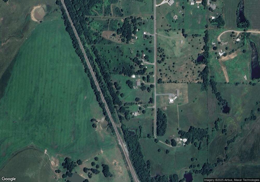
Map
Nearby Homes
- 10467 N 26th St E
- 29719 E 770 Rd
- 3321 E 76th St N
- 1564 W 110th St N
- 5999 E 109th St N
- 5501 E 81st St N
- 0 E 109th St N Unit 2604743
- 11609 N 59th St E
- 0 E 81st St N
- 2736 W 100th St N
- 74983 S 320 Rd
- 6122 E 83rd St N
- 0 S 250 Rd Unit 2540937
- 0 Hwy 51 St Unit 24985306
- 30400 E 760 Rd
- 74612 S 320th Rd
- 0 Hwy 69 Rd Unit 2543409
- 0 Hwy 69 Rd Unit 2543411
- 0 Hwy 69 Hwy S Unit 2540981
- 0 Hwy 69 Hwy S Unit 2543403
- 9675 N 31st St E
- 9853 N 31st St E
- 9932 N 31st St E
- 3033 E 100th St N
- 3177 E 100th St N
- 3197 E 100th St N
- 3220 E 90th St N
- 9498 N 25th St E
- 9498 N 25th St E
- 3423 E 100th St N
- 9543 N 35th St E
- 9740 N 35th St E
- 3524 E 98th St N
- 3530 E 97th St N
- 0 N 35th St E Unit 411956
- 0 N 35th St E Unit 1741345
- 0 N 35th St E Unit 1902789
- 0 N 35th St E Unit 1927473
- 0 N 35th St E Unit 1928122
- 0 N 35th St E Unit 2209495
Your Personal Tour Guide
Ask me questions while you tour the home.