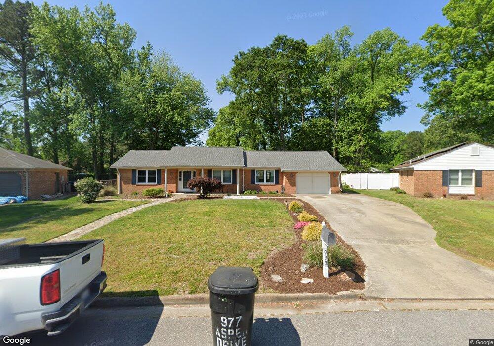
977 Aspen Dr Virginia Beach, VA 23464
Estimated Value: $463,000 - $490,000
4
Beds
3
Baths
2,359
Sq Ft
$202/Sq Ft
Est. Value
About This Home
This home is located at 977 Aspen Dr, Virginia Beach, VA 23464 and is currently estimated at $475,384, approximately $201 per square foot. 977 Aspen Dr is a home located in Virginia Beach City with nearby schools including Woodstock Elementary School, Kempsville Middle School, and Tallwood High School.
Ownership History
Date
Name
Owned For
Owner Type
Purchase Details
Closed on
Aug 24, 2001
Sold by
Farris Robert T
Bought by
Flood Scott D
Current Estimated Value
Home Financials for this Owner
Home Financials are based on the most recent Mortgage that was taken out on this home.
Original Mortgage
$130,250
Outstanding Balance
$50,478
Interest Rate
7.06%
Estimated Equity
$424,906
Create a Home Valuation Report for This Property
The Home Valuation Report is an in-depth analysis detailing your home's value as well as a comparison with similar homes in the area
Home Values in the Area
Average Home Value in this Area
Purchase History
| Date | Buyer | Sale Price | Title Company |
|---|---|---|---|
| Flood Scott D | $126,500 | -- |
Source: Public Records
Mortgage History
| Date | Status | Borrower | Loan Amount |
|---|---|---|---|
| Open | Flood Scott D | $130,250 |
Source: Public Records
Tax History Compared to Growth
Tax History
| Year | Tax Paid | Tax Assessment Tax Assessment Total Assessment is a certain percentage of the fair market value that is determined by local assessors to be the total taxable value of land and additions on the property. | Land | Improvement |
|---|---|---|---|---|
| 2025 | $3,822 | $400,800 | $152,000 | $248,800 |
| 2024 | $3,822 | $394,000 | $152,000 | $242,000 |
| 2023 | $3,775 | $381,300 | $135,000 | $246,300 |
| 2022 | $3,527 | $356,300 | $120,000 | $236,300 |
| 2021 | $2,963 | $299,300 | $91,000 | $208,300 |
| 2020 | $2,944 | $289,300 | $91,000 | $198,300 |
| 2019 | $2,956 | $274,800 | $91,000 | $183,800 |
| 2018 | $2,755 | $274,800 | $91,000 | $183,800 |
| 2017 | $2,804 | $279,700 | $91,000 | $188,700 |
| 2016 | $2,734 | $276,200 | $91,000 | $185,200 |
| 2015 | $2,734 | $276,200 | $91,000 | $185,200 |
| 2014 | $2,194 | $243,000 | $95,800 | $147,200 |
Source: Public Records
Map
Nearby Homes
- 881 Strickland Blvd
- 928 Richland Dr
- 5809 Beechwalk Dr
- 928 Old Homestead Ln
- 5872 Connors Dr
- 738 Driskill Ct
- 5340 Chabot Way
- 5317 Chabot Way
- 1027 Bryce Ln
- 1031 Bryce Ln
- 5966 Edgelake Dr
- 1183 Meadow Sage Ln
- 1066 Commonwealth Place
- 5465 Indian River Rd
- 764 Woodstock Rd
- 1001 Commonwealth Place
- 1032 Taylor Rd
- 5445 Indian River Rd
- 813 Oglesby Ct
- 1052 Lockwood Ct
- 981 Aspen Dr
- 973 Aspen Dr
- 1036 Josephine Crescent
- 5708 Aspen Ct
- 1040 Josephine Crescent
- 1032 Josephine Crescent
- 985 Aspen Dr
- 969 Aspen Dr
- 980 Aspen Dr
- 5704 Aspen Ct
- 972 Aspen Dr
- 1028 Josephine Crescent
- 1044 Josephine Crescent
- 984 Aspen Dr
- 989 Aspen Dr
- 965 Aspen Dr
- 5709 Aspen Ct
- 5700 Aspen Ct
- 964 Aspen Dr
- 1024 Josephine Crescent