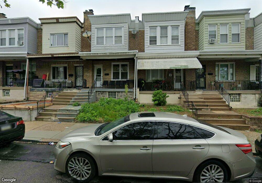
977 E Sanger St Philadelphia, PA 19124
Lawncrest NeighborhoodEstimated Value: $131,000 - $194,351
3
Beds
1
Bath
1,018
Sq Ft
$165/Sq Ft
Est. Value
About This Home
This home is located at 977 E Sanger St, Philadelphia, PA 19124 and is currently estimated at $168,338, approximately $165 per square foot. 977 E Sanger St is a home located in Philadelphia County with nearby schools including Laura H Carnell School, Harding Warren G Middle School, and Samuel Fels High School.
Ownership History
Date
Name
Owned For
Owner Type
Purchase Details
Closed on
Mar 30, 2020
Sold by
Chervets Eugene and Silver Raisa
Bought by
Ndpi Llc
Current Estimated Value
Purchase Details
Closed on
Sep 12, 2003
Sold by
Richmond Home Development Inc
Bought by
Chervets Eugene and Silver Raisa
Purchase Details
Closed on
Sep 8, 2003
Sold by
Equity One Inc
Bought by
Richmond Home Development Inc
Purchase Details
Closed on
Aug 18, 2003
Sold by
Allen Jane L
Bought by
Equity One Inc
Purchase Details
Closed on
Jun 16, 1995
Sold by
Flanagan Ross J and Flanagan Theresa M
Bought by
Allen Jane L
Create a Home Valuation Report for This Property
The Home Valuation Report is an in-depth analysis detailing your home's value as well as a comparison with similar homes in the area
Home Values in the Area
Average Home Value in this Area
Purchase History
| Date | Buyer | Sale Price | Title Company |
|---|---|---|---|
| Ndpi Llc | $89,500 | Prosperity Abstract Llc | |
| Chervets Eugene | $21,000 | -- | |
| Richmond Home Development Inc | $11,000 | -- | |
| Equity One Inc | $25,000 | -- | |
| Allen Jane L | $56,000 | -- |
Source: Public Records
Tax History Compared to Growth
Tax History
| Year | Tax Paid | Tax Assessment Tax Assessment Total Assessment is a certain percentage of the fair market value that is determined by local assessors to be the total taxable value of land and additions on the property. | Land | Improvement |
|---|---|---|---|---|
| 2025 | $1,663 | $151,600 | $30,320 | $121,280 |
| 2024 | $1,663 | $151,600 | $30,320 | $121,280 |
| 2023 | $1,663 | $118,800 | $23,760 | $95,040 |
| 2022 | $1,663 | $118,800 | $23,760 | $95,040 |
| 2021 | $1,106 | $0 | $0 | $0 |
| 2020 | $1,106 | $0 | $0 | $0 |
| 2019 | $1,061 | $0 | $0 | $0 |
| 2018 | $1,081 | $0 | $0 | $0 |
| 2017 | $1,081 | $0 | $0 | $0 |
| 2016 | $1,081 | $0 | $0 | $0 |
| 2015 | $1,034 | $0 | $0 | $0 |
| 2014 | -- | $77,200 | $10,428 | $66,772 |
| 2012 | -- | $11,008 | $2,202 | $8,806 |
Source: Public Records
Map
Nearby Homes
- 995 Sanger St
- 991 Carver St
- 996 Anchor St
- 5640 Miriam Rd
- 5661 Miriam Rd
- 5659 Miriam Rd
- 1225 E Cheltenham Ave
- 925 E Sanger St
- 1211 E Cheltenham Ave
- 929 1/2 Anchor St
- 5563 Loretto Ave
- 972 Bridge St
- 1127 E Cheltenham Ave
- 894 E Sanger St
- 939 Granite St
- 1136 Alcott St
- 889 Anchor St
- 883 Brill St
- 1121 Alcott St
- 901 Granite St
- 975 E Sanger St
- 979 E Sanger St
- 981 E Sanger St
- 973 E Sanger St
- 983 E Sanger St
- 971 E Sanger St
- 985 E Sanger St
- 969 E Sanger St
- 972 Carver St
- 974 Carver St
- 987 E Sanger St
- 970 Carver St
- 967 E Sanger St
- 976 Carver St
- 968 Carver St
- 978 Carver St
- 966 Carver St
- 980 Carver St
- 989 E Sanger St
- 965 E Sanger St