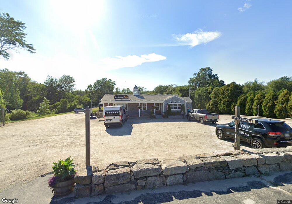
977 Main Rd Westport, MA 02790
Westport Point Neighborhood
--
Bed
--
Bath
2,085
Sq Ft
16.62
Acres
About This Home
This home is located at 977 Main Rd, Westport, MA 02790. 977 Main Rd is a home located in Bristol County.
Ownership History
Date
Name
Owned For
Owner Type
Purchase Details
Closed on
Jan 9, 2007
Sold by
Big Parade Llc
Bought by
Main Road Realty Llc
Purchase Details
Closed on
Apr 30, 2004
Sold by
Fred & Anns Restaurant
Bought by
Big Parade Llc
Home Financials for this Owner
Home Financials are based on the most recent Mortgage that was taken out on this home.
Original Mortgage
$375,000
Interest Rate
5.36%
Mortgage Type
Commercial
Create a Home Valuation Report for This Property
The Home Valuation Report is an in-depth analysis detailing your home's value as well as a comparison with similar homes in the area
Home Values in the Area
Average Home Value in this Area
Purchase History
| Date | Buyer | Sale Price | Title Company |
|---|---|---|---|
| Main Road Realty Llc | $575,000 | -- | |
| Main Road Realty Llc | $575,000 | -- | |
| Big Parade Llc | $425,000 | -- | |
| Big Parade Llc | $425,000 | -- |
Source: Public Records
Mortgage History
| Date | Status | Borrower | Loan Amount |
|---|---|---|---|
| Previous Owner | Big Parade Llc | $200,000 | |
| Previous Owner | Big Parade Llc | $375,000 |
Source: Public Records
Tax History Compared to Growth
Tax History
| Year | Tax Paid | Tax Assessment Tax Assessment Total Assessment is a certain percentage of the fair market value that is determined by local assessors to be the total taxable value of land and additions on the property. | Land | Improvement |
|---|---|---|---|---|
| 2025 | $5,942 | $797,600 | $480,900 | $316,700 |
| 2024 | $6,065 | $784,600 | $467,900 | $316,700 |
| 2023 | $6,173 | $756,500 | $451,100 | $305,400 |
| 2022 | $6,288 | $741,500 | $451,100 | $290,400 |
| 2021 | $6,201 | $719,400 | $429,000 | $290,400 |
| 2020 | $6,065 | $719,400 | $429,000 | $290,400 |
| 2019 | $6,010 | $726,700 | $429,000 | $297,700 |
| 2018 | $5,810 | $711,100 | $413,400 | $297,700 |
| 2017 | $5,687 | $713,600 | $413,400 | $300,200 |
| 2016 | $5,583 | $705,800 | $413,400 | $292,400 |
| 2015 | $5,118 | $645,400 | $403,500 | $241,900 |
Source: Public Records
Map
Nearby Homes
- 101 Adamsville Rd
- 837 Main Rd
- 920 Drift Rd
- 8 Village Way
- 225 Hixbridge Rd
- 7 Village Way
- 15 Village Way
- 1346 Main Rd Unit B
- 8 Strawberry Ln
- 17 Quail Trail
- 1580 Main Rd
- 118 Charlotte White Rd Extension
- 0 Hidden Glen Ln
- 978 Sodom Rd
- 118 Charlotte White Rd
- 99 Sylvia Ln
- 1749 Main Rd
- 184 Field Stone Ln
- Lot 0 Marcotte
- 73 White Oak Run
- 977 Main Rd Unit 206
- 977 Main Rd Unit 207
- 977 Main Rd Unit 202
- 977 Main Rd Unit 205
- 977 Main Rd Unit 208
- 977 Main Rd Unit 103
- 977 Main Rd Unit 101
- 977 Main Rd Unit 102
- 977 Main Rd Unit 201
- 977 Main Rd Unit 105
- 977 Main Rd Unit 203
- 977 Main Rd Unit 204
- 977 Main Rd Unit 104
- 971 Main Rd
- 989 Main Rd
- 1050 Main Rd
- 1429 Main Rd
- Lot 6 Main Rd
- Lot 3 Main Rd
- Lot 2 Main Rd