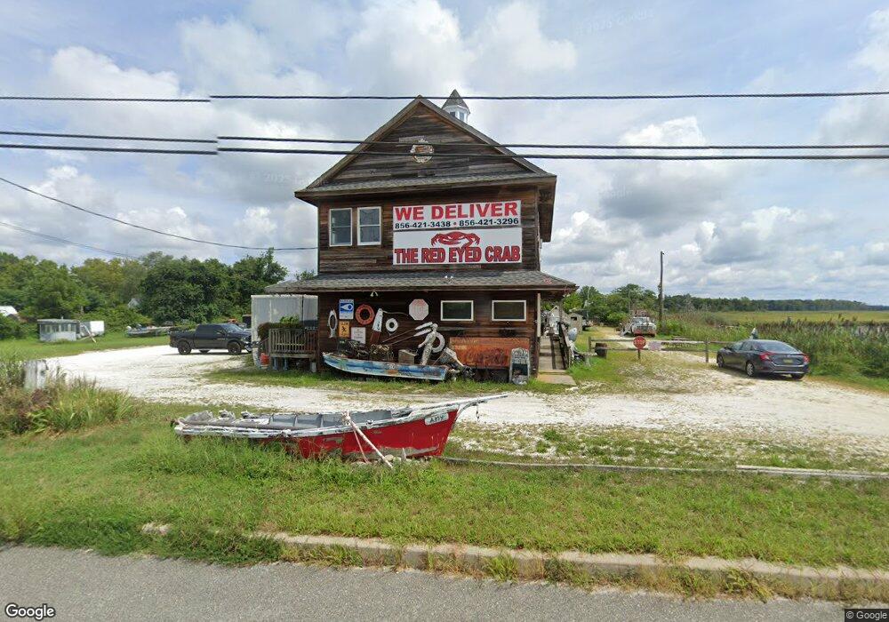
977 Main St Port Norris, NJ 08349
Studio
--
Bath
1,812
Sq Ft
22,651
Sq Ft
About This Home
This home is located at 977 Main St, Port Norris, NJ 08349. 977 Main St is a home located in Cumberland County with nearby schools including Downe Township Elementary School.
Ownership History
Date
Name
Owned For
Owner Type
Purchase Details
Closed on
Apr 14, 2020
Sold by
Schmidt Francis F and Schmidt Carol H
Bought by
Angry Crab Cafe Llc
Home Financials for this Owner
Home Financials are based on the most recent Mortgage that was taken out on this home.
Original Mortgage
$95,000
Outstanding Balance
$84,317
Interest Rate
3.5%
Mortgage Type
Purchase Money Mortgage
Purchase Details
Closed on
May 14, 2004
Sold by
Hetzell Nelson L
Bought by
Schmidt Francis E and Schmidt Carol H
Home Financials for this Owner
Home Financials are based on the most recent Mortgage that was taken out on this home.
Original Mortgage
$144,000
Interest Rate
5.94%
Mortgage Type
Commercial
Purchase Details
Closed on
Jul 12, 1996
Sold by
Headley Daniel P
Bought by
Hetzell Nelson L and Hetzel Cyndy W
Create a Home Valuation Report for This Property
The Home Valuation Report is an in-depth analysis detailing your home's value as well as a comparison with similar homes in the area
Home Values in the Area
Average Home Value in this Area
Purchase History
| Date | Buyer | Sale Price | Title Company |
|---|---|---|---|
| Angry Crab Cafe Llc | $83,450 | None Available | |
| Schmidt Francis E | $200,000 | -- | |
| Hetzell Nelson L | $130,000 | -- |
Source: Public Records
Mortgage History
| Date | Status | Borrower | Loan Amount |
|---|---|---|---|
| Open | Angry Crab Cafe Llc | $95,000 | |
| Previous Owner | Schmidt Francis E | $144,000 |
Source: Public Records
Tax History
| Year | Tax Paid | Tax Assessment Tax Assessment Total Assessment is a certain percentage of the fair market value that is determined by local assessors to be the total taxable value of land and additions on the property. | Land | Improvement |
|---|---|---|---|---|
| 2025 | $5,794 | $200,000 | $40,000 | $160,000 |
| 2024 | $5,794 | $200,000 | $40,000 | $160,000 |
| 2023 | $5,342 | $200,000 | $40,000 | $160,000 |
| 2022 | $5,192 | $200,000 | $40,000 | $160,000 |
| 2021 | $4,908 | $200,000 | $40,000 | $160,000 |
| 2020 | $4,840 | $200,000 | $40,000 | $160,000 |
| 2019 | $4,768 | $200,000 | $40,000 | $160,000 |
| 2018 | $4,848 | $200,000 | $40,000 | $160,000 |
| 2017 | $4,662 | $200,000 | $40,000 | $160,000 |
| 2016 | $4,666 | $200,000 | $40,000 | $160,000 |
| 2015 | $4,398 | $200,000 | $40,000 | $160,000 |
| 2014 | $4,084 | $200,000 | $40,000 | $160,000 |
Source: Public Records
Map
Nearby Homes
- 938 Union St
- 914 Main St
- 912 Main St
- 1062 Hanseys Creek Rd
- 1073 Dragston Rd
- 1802 Strawberry Ave
- 0 James Moore Rd Unit 603001
- 0 James Moore Rd Unit NJCB2027772
- 2311 Cobb St
- 6502 Yock Wock Rd
- 2600 Church St
- 6303 Walnut St
- 7020 Parsons Ln
- 2505 High St
- 2533 High St
- 305 Main St
- 1600 North Ave
- 281 Fortescue Rd
- 1908 North Ave
- 1794 Main St
Your Personal Tour Guide
Ask me questions while you tour the home.