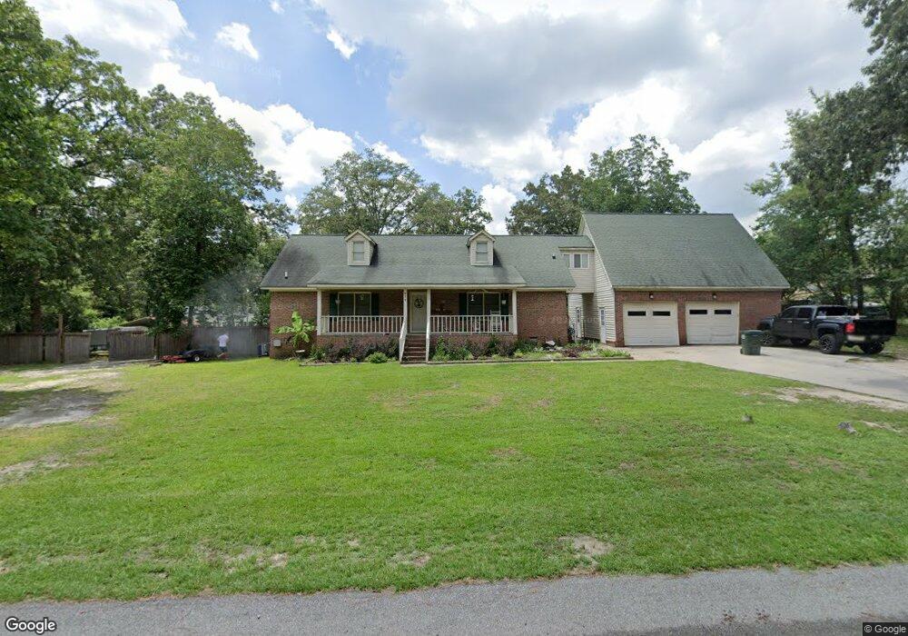
977 Reynolds Dr West Columbia, SC 29172
Pine Ridge NeighborhoodEstimated Value: $319,000 - $360,000
4
Beds
3
Baths
2,802
Sq Ft
$121/Sq Ft
Est. Value
About This Home
This home is located at 977 Reynolds Dr, West Columbia, SC 29172 and is currently estimated at $337,890, approximately $120 per square foot. 977 Reynolds Dr is a home located in Lexington County with nearby schools including Herbert A. Wood Elementary School, Pine Ridge Middle School, and Airport High School.
Ownership History
Date
Name
Owned For
Owner Type
Purchase Details
Closed on
Nov 21, 2013
Sold by
Carolina Collegiate Federal Credit Union
Bought by
Neil Ashlie and Neil David
Current Estimated Value
Home Financials for this Owner
Home Financials are based on the most recent Mortgage that was taken out on this home.
Original Mortgage
$136,482
Outstanding Balance
$103,335
Interest Rate
4.62%
Mortgage Type
FHA
Estimated Equity
$234,555
Purchase Details
Closed on
Jun 27, 2013
Sold by
Wagner Dwaine Cd and Wagner Amy Lee
Bought by
Carolina Collegiate Federal Credit Union
Create a Home Valuation Report for This Property
The Home Valuation Report is an in-depth analysis detailing your home's value as well as a comparison with similar homes in the area
Home Values in the Area
Average Home Value in this Area
Purchase History
| Date | Buyer | Sale Price | Title Company |
|---|---|---|---|
| Neil Ashlie | $139,000 | -- | |
| Carolina Collegiate Federal Credit Union | $125,000 | -- |
Source: Public Records
Mortgage History
| Date | Status | Borrower | Loan Amount |
|---|---|---|---|
| Open | Neil Ashlie | $136,482 |
Source: Public Records
Tax History Compared to Growth
Tax History
| Year | Tax Paid | Tax Assessment Tax Assessment Total Assessment is a certain percentage of the fair market value that is determined by local assessors to be the total taxable value of land and additions on the property. | Land | Improvement |
|---|---|---|---|---|
| 2024 | $1,127 | $7,957 | $537 | $7,420 |
| 2023 | $1,127 | $7,957 | $537 | $7,420 |
| 2022 | $1,128 | $7,957 | $537 | $7,420 |
| 2020 | $1,123 | $7,957 | $537 | $7,420 |
| 2019 | $997 | $6,919 | $465 | $6,454 |
| 2018 | $945 | $6,469 | $465 | $6,004 |
| 2017 | $909 | $6,469 | $465 | $6,004 |
| 2016 | $934 | $6,469 | $465 | $6,004 |
| 2014 | $555 | $5,625 | $680 | $4,945 |
| 2013 | -- | $4,900 | $680 | $4,220 |
Source: Public Records
Map
Nearby Homes
- 1020 Reynord Cir
- 0 Hyland Cir
- 114 Henston Dr
- 204 Long Iron Ct
- 208 Long Iron Ct
- 212 Long Iron Ct
- 216 Long Iron Ct
- 220 Long Iron Ct
- 1502 Pine St
- 120 Hidden Acres Ln
- 141 Shumpert Rd
- 112 Preakness Ct
- 1123 Pine St
- 130 Mary Dr
- 2015 Valley View Rd
- 107 Bunker Dr
- 0 73 Acres Charleston Hwy
- 268 Shumpert Rd
- 189 Caballeros Trail
- 100 Marilyn Ln
- 981 Reynolds Dr
- 975 Reynolds Dr
- 413 Williams Cir
- 409 Williams Cir
- 978 Reynolds Dr
- 936 Williams Cir
- 936 Reynolds Dr
- 405 Williams Cir
- 980 Reynolds Dr
- 983 Reynolds Dr
- 1007 Reynolds Dr
- 665 Williams Cir
- 982 Reynolds Dr
- 1006 Reynolds Dr
- 829 Courtney Dr
- 1015 Williams Cir
- 823 Courtney Dr
- 901 Courtney Dr
- 1051 & 1053 Reynords Cir
- 1007 Courtney Dr