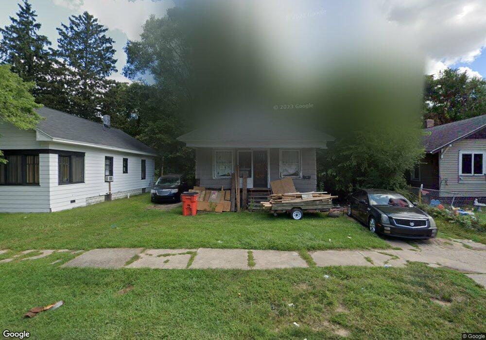
977 Superior St Benton Harbor, MI 49022
Estimated Value: $78,000 - $101,000
4
Beds
1
Bath
792
Sq Ft
$109/Sq Ft
Est. Value
About This Home
This home is located at 977 Superior St, Benton Harbor, MI 49022 and is currently estimated at $86,538, approximately $109 per square foot. 977 Superior St is a home located in Berrien County with nearby schools including Fair Plain Middle School, Benton Harbor High School, and Benton Harbor Charter School Academy.
Ownership History
Date
Name
Owned For
Owner Type
Purchase Details
Closed on
Jun 17, 2024
Sold by
Alexander Trevin T
Bought by
Berrien County Treasurer
Current Estimated Value
Purchase Details
Closed on
Jun 13, 2023
Sold by
Alexander Trevin T
Bought by
Berrien County Treasurer
Purchase Details
Closed on
Jun 28, 2022
Sold by
Willis Richmond
Bought by
Alexander Trevin T
Purchase Details
Closed on
Apr 24, 2012
Sold by
Stankus Edward L and Stankus Joy Ardene
Bought by
Richmond Georgia and Richmond Willis
Purchase Details
Closed on
Aug 12, 1983
Purchase Details
Closed on
Dec 17, 1979
Create a Home Valuation Report for This Property
The Home Valuation Report is an in-depth analysis detailing your home's value as well as a comparison with similar homes in the area
Home Values in the Area
Average Home Value in this Area
Purchase History
| Date | Buyer | Sale Price | Title Company |
|---|---|---|---|
| Berrien County Treasurer | -- | -- | |
| Berrien County Treasurer | -- | -- | |
| Alexander Trevin T | -- | Miller Johnson Schroeder Plc | |
| Richmond Georgia | $3,000 | Multiple | |
| -- | $7,500 | -- | |
| -- | $7,500 | -- |
Source: Public Records
Tax History Compared to Growth
Tax History
| Year | Tax Paid | Tax Assessment Tax Assessment Total Assessment is a certain percentage of the fair market value that is determined by local assessors to be the total taxable value of land and additions on the property. | Land | Improvement |
|---|---|---|---|---|
| 2025 | $561 | $21,200 | $0 | $0 |
| 2024 | $539 | $18,300 | $0 | $0 |
| 2023 | $431 | $12,300 | $0 | $0 |
| 2022 | $489 | $8,900 | $0 | $0 |
| 2021 | $493 | $8,800 | $600 | $8,200 |
| 2020 | $487 | $8,800 | $0 | $0 |
| 2019 | $478 | $7,600 | $0 | $0 |
| 2018 | $483 | $7,500 | $0 | $0 |
| 2017 | $783 | $12,700 | $0 | $0 |
| 2016 | $770 | $12,800 | $0 | $0 |
| 2015 | $768 | $12,300 | $0 | $0 |
| 2014 | $829 | $14,900 | $0 | $0 |
Source: Public Records
Map
Nearby Homes
- 972 Pearl St
- 349 E Empire Ave
- 960 Jennings Ave
- 361 E May St
- 1097 Pearl St
- 833 Pearl St
- 1129 Jennings Ave
- 1219 Ogden Ave
- 1142 Bishop Ave
- 1045 Broadway
- 730 Superior St
- 960 Union Ave
- 872 Mcalister Ave
- 979 Lavette Ave
- 171 E Empire Ave
- 1267 Broadway
- 1301 Superior St
- 941 Colfax Ave
- 1332 Columbus Ave
- 131 Clay St
- 985 Superior St
- 991 Superior St
- 971 Superior St
- 978 Superior St
- 972 Superior St
- 957 Superior St
- 995 Superior St
- 986 Superior St
- 956 Superior St
- 970 Superior St
- 951 Superior St
- 948 Superior St
- 976 Ogden Ave
- 1013 Superior St
- 970 Ogden Ave
- 984 Ogden Ave
- 940 Superior St
- 990 Ogden Ave
- 960 Ogden Ave
- 956 Ogden Ave