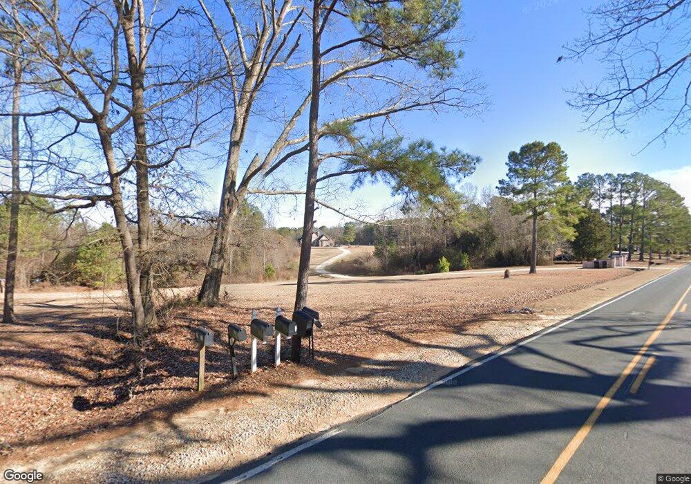
977 Tim Currin Rd Lillington, NC 27546
Estimated Value: $399,000 - $439,000
4
Beds
2
Baths
2,339
Sq Ft
$179/Sq Ft
Est. Value
About This Home
This home is located at 977 Tim Currin Rd, Lillington, NC 27546 and is currently estimated at $419,088, approximately $179 per square foot. 977 Tim Currin Rd is a home located in Harnett County with nearby schools including Boone Trail Elementary School, Western Harnett Middle School, and Western Harnett High School.
Ownership History
Date
Name
Owned For
Owner Type
Purchase Details
Closed on
Jul 2, 2025
Sold by
Miner Sara Grace
Bought by
Jarvela Arlene
Current Estimated Value
Home Financials for this Owner
Home Financials are based on the most recent Mortgage that was taken out on this home.
Original Mortgage
$380,000
Outstanding Balance
$379,358
Interest Rate
6.86%
Mortgage Type
New Conventional
Estimated Equity
$39,730
Purchase Details
Closed on
Dec 15, 2022
Sold by
Moore Dawn M and Moore David Lee
Bought by
Miner Sara Grace
Purchase Details
Closed on
Jun 9, 2020
Sold by
Confer Dawn and Moore David Lee
Bought by
Moore Dawn M
Home Financials for this Owner
Home Financials are based on the most recent Mortgage that was taken out on this home.
Original Mortgage
$180,699
Interest Rate
3.1%
Mortgage Type
VA
Purchase Details
Closed on
May 3, 2011
Sold by
Glover Mike and Glover Amanda
Bought by
Confer Dawn
Home Financials for this Owner
Home Financials are based on the most recent Mortgage that was taken out on this home.
Original Mortgage
$206,600
Interest Rate
4.81%
Mortgage Type
VA
Purchase Details
Closed on
Feb 22, 2008
Sold by
Blanchard Randall K and Blanchard Rebecca J
Bought by
Glover Michael and Glover Amanda
Home Financials for this Owner
Home Financials are based on the most recent Mortgage that was taken out on this home.
Original Mortgage
$171,994
Interest Rate
5.85%
Mortgage Type
VA
Create a Home Valuation Report for This Property
The Home Valuation Report is an in-depth analysis detailing your home's value as well as a comparison with similar homes in the area
Home Values in the Area
Average Home Value in this Area
Purchase History
| Date | Buyer | Sale Price | Title Company |
|---|---|---|---|
| Jarvela Arlene | $400,000 | None Listed On Document | |
| Jarvela Arlene | $400,000 | None Listed On Document | |
| Miner Sara Grace | $350,000 | -- | |
| Miner Sara Grace | $350,000 | None Listed On Document | |
| Moore Dawn M | -- | Servicelink | |
| Confer Dawn | $200,000 | -- | |
| Glover Michael | $166,500 | -- |
Source: Public Records
Mortgage History
| Date | Status | Borrower | Loan Amount |
|---|---|---|---|
| Open | Jarvela Arlene | $380,000 | |
| Closed | Jarvela Arlene | $380,000 | |
| Previous Owner | Moore Dawn M | $180,699 | |
| Previous Owner | Confer Dawn | $206,600 | |
| Previous Owner | Glover Michael | $171,994 |
Source: Public Records
Tax History Compared to Growth
Tax History
| Year | Tax Paid | Tax Assessment Tax Assessment Total Assessment is a certain percentage of the fair market value that is determined by local assessors to be the total taxable value of land and additions on the property. | Land | Improvement |
|---|---|---|---|---|
| 2025 | $2,049 | $280,190 | $0 | $0 |
| 2024 | $2,021 | $280,190 | $0 | $0 |
| 2023 | $2,021 | $280,190 | $0 | $0 |
| 2022 | $1,683 | $280,190 | $0 | $0 |
| 2021 | $1,683 | $194,900 | $0 | $0 |
| 2020 | $1,683 | $194,900 | $0 | $0 |
| 2019 | $1,668 | $194,900 | $0 | $0 |
| 2018 | $1,668 | $194,900 | $0 | $0 |
| 2017 | $1,668 | $194,900 | $0 | $0 |
| 2016 | $1,726 | $202,000 | $0 | $0 |
| 2015 | $1,726 | $202,000 | $0 | $0 |
| 2014 | $1,726 | $202,000 | $0 | $0 |
Source: Public Records
Map
Nearby Homes
- 273 Hawksmoore Ln
- 71 Hawksmoore Ln
- 93 Finsbury Ct
- 57 Black Creek Dr
- CALI Plan at McKay Place
- WILMINGTON Plan at McKay Place
- 22 Black Creek Dr
- Eldorado Plan at Seagrass Landing
- Shenandoah Plan at Seagrass Landing
- Voyageur Plan at Seagrass Landing
- Cascades Plan at Seagrass Landing
- Clearwater Plan at Seagrass Landing
- Sequoia Plan at Seagrass Landing
- Allegheny Plan at Seagrass Landing
- 1599 Tim Currin Rd
- 0 Ernest Brown Rd Unit 10130823
- 0 Mount Olive Church Rd
- The Bradley Plan at Reedy Branch
- The Avery Plan at Reedy Branch
- The Benson II Plan at Reedy Branch
- 21 Sweet Raspberry Ln
- 1005 Tim Currin Rd
- 944 Tim Currin Rd
- 926 Tim Currin Rd
- 23 Sweet Raspberry Ln
- 910 Tim Currin Rd
- 1051 Tim Currin Rd
- 905 Tim Currin Rd
- 892 Tim Currin Rd
- 876 Tim Currin Rd
- 856 Tim Currin Rd
- 841 Tim Currin Rd
- 840 Tim Currin Rd
- 821 Tim Currin Rd
- 818 Tim Currin Rd
- 871 Tim Currin Rd
- 787 Tim Currin Rd
- 763 Tim Currin Rd
- 747 Tim Currin Rd
- 754 Tim Currin Rd
