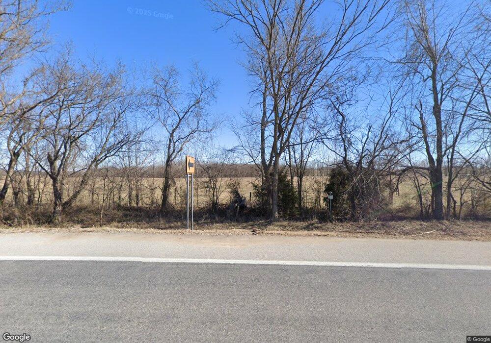
977 W Highway 12 Bentonville, AR 72713
Estimated Value: $385,000 - $428,000
--
Bed
2
Baths
1,988
Sq Ft
$208/Sq Ft
Est. Value
About This Home
This home is located at 977 W Highway 12, Bentonville, AR 72713 and is currently estimated at $413,374, approximately $207 per square foot. 977 W Highway 12 is a home located in Benton County with nearby schools including Vaughn Elementary, Grimsley Junior High School, and Creekside Middle School.
Ownership History
Date
Name
Owned For
Owner Type
Purchase Details
Closed on
Jun 15, 2005
Sold by
Harbison Richard Howard
Bought by
True Doug and Cassidy John
Current Estimated Value
Purchase Details
Closed on
Sep 9, 1998
Bought by
Hazel Vly Ldge
Purchase Details
Closed on
Jun 23, 1998
Bought by
Hazel Vly Ldge
Purchase Details
Closed on
Apr 23, 1993
Bought by
Estes Tr
Purchase Details
Closed on
Oct 28, 1969
Bought by
Harbison R
Purchase Details
Closed on
Aug 14, 1968
Bought by
Hutchens
Create a Home Valuation Report for This Property
The Home Valuation Report is an in-depth analysis detailing your home's value as well as a comparison with similar homes in the area
Home Values in the Area
Average Home Value in this Area
Purchase History
| Date | Buyer | Sale Price | Title Company |
|---|---|---|---|
| True Doug | $136,000 | None Available | |
| Hazel Vly Ldge | -- | -- | |
| Hazel Vly Ldge | -- | -- | |
| Estes Tr | -- | -- | |
| Harbison R | -- | -- | |
| Hutchens | -- | -- |
Source: Public Records
Tax History Compared to Growth
Tax History
| Year | Tax Paid | Tax Assessment Tax Assessment Total Assessment is a certain percentage of the fair market value that is determined by local assessors to be the total taxable value of land and additions on the property. | Land | Improvement |
|---|---|---|---|---|
| 2025 | $318 | $5,244 | $2,264 | $2,980 |
| 2024 | $321 | $5,244 | $2,264 | $2,980 |
| 2023 | $316 | $5,160 | $2,180 | $2,980 |
| 2022 | $325 | $5,160 | $2,180 | $2,980 |
| 2021 | $324 | $5,160 | $2,180 | $2,980 |
| 2020 | $1,380 | $21,830 | $4,740 | $17,090 |
| 2019 | $1,380 | $21,830 | $4,740 | $17,090 |
| 2018 | $1,380 | $21,830 | $4,740 | $17,090 |
| 2017 | $1,338 | $21,830 | $4,740 | $17,090 |
| 2016 | $1,338 | $21,830 | $4,740 | $17,090 |
| 2015 | $1,229 | $20,050 | $3,860 | $16,190 |
| 2014 | $1,229 | $20,050 | $3,860 | $16,190 |
Source: Public Records
Map
Nearby Homes
- 5900 NW Hancock St
- 5901 NW Silas St
- 5908 NW Sherman St
- 5908 NW Meade St
- 6002 NW Sherman St
- 5905 NW Ettie May St
- 414 NW 59 Ave
- 5902 NW Hoover St
- 6008 NW Meade St
- 406 NW 59th Ave
- 404 NW 59th Ave
- 6007 NW Ettie May St
- 5909 NW Reynolds St
- 0 True Rd Unit 1270044
- 6007 NW Hoover St
- 5909 NW Grant St
- 821 NW 63rd Ave
- 424 NW 59th Ave
- 412 NW 62nd Ave
- 6308 NW Zella St
- 977 W Hwy 12
- 1025 W Highway 12
- 1Ac Hwy 12
- 12 W Highway 12 Ln
- 851 W 3rd St
- 949 NW Peterson Rd
- 13992 W Highway 12
- 951 NW Pautsky Ave
- 959 NW Pautsky Ave
- 14237 Pautsky Ln
- 1616 Snyder Wolf Cove
- 1601 Snyder Wolf Cove
- 1600 Snyder Wolf Cove
- 1025 NW Pautsky Ave
- 1025 NW Pautsky Ave
- 1170 W Highway 12
- 14305 Peterson Rd
- 1082 NW Pautsky Ave
- 1043 NW Peterson Rd
- 1043 NW Peterson Rd
