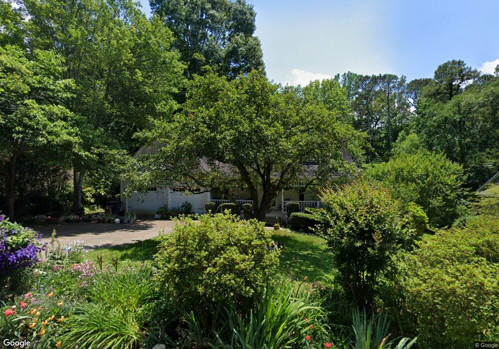
977 W Mill Bend NW Unit 1 Kennesaw, GA 30152
West Cobb NeighborhoodEstimated Value: $391,000 - $404,095
3
Beds
3
Baths
1,854
Sq Ft
$214/Sq Ft
Est. Value
About This Home
This home is located at 977 W Mill Bend NW Unit 1, Kennesaw, GA 30152 and is currently estimated at $396,274, approximately $213 per square foot. 977 W Mill Bend NW Unit 1 is a home located in Cobb County with nearby schools including Due West Elementary School, Mcclure Middle School, and Harrison High School.
Ownership History
Date
Name
Owned For
Owner Type
Purchase Details
Closed on
May 30, 2001
Sold by
Cantrell Jeffrey A and Cantrell Karen C
Bought by
Slonecker Mark R and Slonecker Linda M
Current Estimated Value
Home Financials for this Owner
Home Financials are based on the most recent Mortgage that was taken out on this home.
Original Mortgage
$150,950
Outstanding Balance
$56,490
Interest Rate
7.06%
Mortgage Type
New Conventional
Estimated Equity
$339,784
Create a Home Valuation Report for This Property
The Home Valuation Report is an in-depth analysis detailing your home's value as well as a comparison with similar homes in the area
Home Values in the Area
Average Home Value in this Area
Purchase History
| Date | Buyer | Sale Price | Title Company |
|---|---|---|---|
| Slonecker Mark R | $158,900 | -- |
Source: Public Records
Mortgage History
| Date | Status | Borrower | Loan Amount |
|---|---|---|---|
| Open | Slonecker Mark R | $150,950 |
Source: Public Records
Tax History Compared to Growth
Tax History
| Year | Tax Paid | Tax Assessment Tax Assessment Total Assessment is a certain percentage of the fair market value that is determined by local assessors to be the total taxable value of land and additions on the property. | Land | Improvement |
|---|---|---|---|---|
| 2025 | $876 | $169,992 | $26,000 | $143,992 |
| 2024 | $805 | $145,204 | $14,000 | $131,204 |
| 2023 | $599 | $145,204 | $14,000 | $131,204 |
| 2022 | $737 | $122,368 | $14,000 | $108,368 |
| 2021 | $671 | $100,448 | $14,000 | $86,448 |
| 2020 | $641 | $90,536 | $14,000 | $76,536 |
| 2019 | $641 | $90,536 | $14,000 | $76,536 |
| 2018 | $1,975 | $81,932 | $14,000 | $67,932 |
| 2017 | $1,909 | $81,932 | $14,000 | $67,932 |
| 2016 | $1,582 | $66,956 | $12,000 | $54,956 |
| 2015 | $1,619 | $66,956 | $12,000 | $54,956 |
| 2014 | $1,439 | $58,388 | $0 | $0 |
Source: Public Records
Map
Nearby Homes
- 1015 Token Way NW
- 1068 W Mill Dr NW
- 1034 W Mill Dr NW Unit 1
- 4203 W Mill Trail NW
- 4155 Burnt Hickory Rd NW
- 3895 Stone Lake Dr NW
- 0 W Pointe Dr NW Unit 10653681
- 0 W Pointe Dr NW Unit 7689254
- 1265 Moorfield Trace NW
- 1217 Kaylyn Ct NW Unit 2
- 3816 Whithorn Way
- 4362 Rolling Oaks Ct NW
- 4220 Rockpoint Dr NW
- 1395 Crestwind Rd NW
- 1450 Acworth Due West Rd NW
- 3873 Paul Samuel Rd NW
- 3710 Country Estate Dr NW
- 701 Elk Cove Ct NW
- 716 Registry Run NW
- 1135 Weighhouse Place
- 979 W Mill Bend NW
- W Mill Bend NW
- 973 W Mill Bend NW
- 981 W Mill Bend NW
- 974 W Mill Bend NW Unit 1
- 1161 W Mill Dr NW
- 1155 W Mill Dr NW
- 980 W Mill Bend NW
- 1157 W Mill Dr NW Unit 1
- 1159 W Mill Dr NW Unit 1
- 922 W Mill Trace NW
- 983 W Mill Bend NW
- 983 W Mill Bend NW Unit 983
- 1167 W Mill Dr NW
- 986 W Mill Bend NW Unit 1
- 1153 W Mill Dr NW
- 924 W Mill Trace NW Unit 1
- 1058 W Mill Dr NW Unit 1
- 1056 W Mill Dr NW
- 1056 W Mill Dr NW