9770 State Route 571 Arcanum, OH 45304
Estimated Value: $228,000 - $303,000
3
Beds
2
Baths
1,323
Sq Ft
$197/Sq Ft
Est. Value
About This Home
This home is located at 9770 State Route 571, Arcanum, OH 45304 and is currently estimated at $260,937, approximately $197 per square foot. 9770 State Route 571 is a home located in Darke County with nearby schools including Franklin Monroe Elementary School and Franklin Monroe High School.
Ownership History
Date
Name
Owned For
Owner Type
Purchase Details
Closed on
Dec 1, 2017
Sold by
Wintrow Russell and Wintrow Sarah E
Bought by
Mtcastle Daryl R and Mtcastle Melinda L
Current Estimated Value
Home Financials for this Owner
Home Financials are based on the most recent Mortgage that was taken out on this home.
Original Mortgage
$141,391
Outstanding Balance
$121,778
Interest Rate
4.87%
Mortgage Type
FHA
Estimated Equity
$139,159
Purchase Details
Closed on
Nov 15, 2017
Sold by
Winterrowd Damon and Winterrowd David
Bought by
Wintrow Russell and Wintrow Sarah E
Home Financials for this Owner
Home Financials are based on the most recent Mortgage that was taken out on this home.
Original Mortgage
$141,391
Outstanding Balance
$121,778
Interest Rate
4.87%
Mortgage Type
FHA
Estimated Equity
$139,159
Purchase Details
Closed on
Jul 20, 2004
Sold by
Winterrowd Damon
Bought by
Wintrow Russell and Wintrow Sarah E
Home Financials for this Owner
Home Financials are based on the most recent Mortgage that was taken out on this home.
Original Mortgage
$140,790
Interest Rate
6.17%
Mortgage Type
FHA
Create a Home Valuation Report for This Property
The Home Valuation Report is an in-depth analysis detailing your home's value as well as a comparison with similar homes in the area
Home Values in the Area
Average Home Value in this Area
Purchase History
| Date | Buyer | Sale Price | Title Company |
|---|---|---|---|
| Mtcastle Daryl R | $144,000 | None Available | |
| Wintrow Russell | -- | None Available | |
| Wintrow Russell | $143,000 | -- |
Source: Public Records
Mortgage History
| Date | Status | Borrower | Loan Amount |
|---|---|---|---|
| Open | Mtcastle Daryl R | $141,391 | |
| Previous Owner | Wintrow Russell | $140,790 |
Source: Public Records
Tax History Compared to Growth
Tax History
| Year | Tax Paid | Tax Assessment Tax Assessment Total Assessment is a certain percentage of the fair market value that is determined by local assessors to be the total taxable value of land and additions on the property. | Land | Improvement |
|---|---|---|---|---|
| 2024 | $1,917 | $57,120 | $19,210 | $37,910 |
| 2023 | $1,920 | $57,120 | $19,210 | $37,910 |
| 2022 | $1,913 | $49,690 | $16,880 | $32,810 |
| 2021 | $1,930 | $49,690 | $16,880 | $32,810 |
| 2020 | $1,849 | $49,690 | $16,880 | $32,810 |
| 2019 | $1,656 | $46,100 | $16,230 | $29,870 |
| 2018 | $1,626 | $46,100 | $16,230 | $29,870 |
| 2017 | $1,512 | $44,760 | $16,230 | $28,530 |
| 2016 | $1,676 | $43,230 | $14,450 | $28,780 |
| 2015 | $1,451 | $43,230 | $14,450 | $28,780 |
| 2014 | $1,473 | $43,580 | $14,450 | $29,130 |
| 2013 | $1,478 | $40,650 | $14,170 | $26,480 |
Source: Public Records
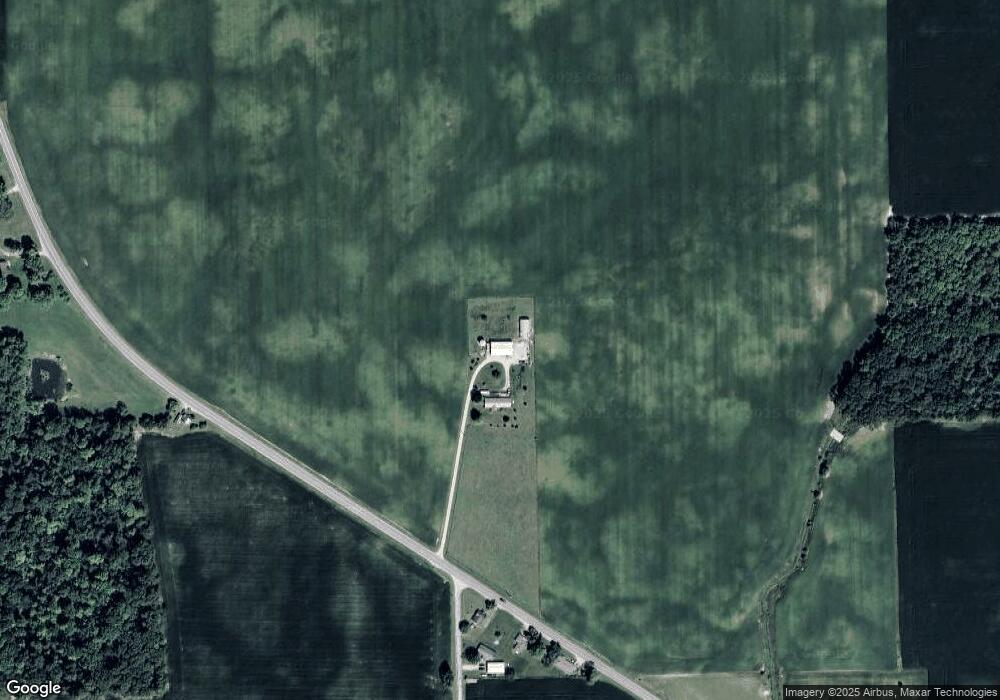
Map
Nearby Homes
- 0 N Furlong Rd
- 2255 Red River-West Grove Rd
- 111 E Pike St
- 2255 Red River West Grove Rd
- 13 Laura Cir
- 11299 Coppock Rd
- 11863 Hall Rd
- 200 N Jefferson St
- 220 Baker St
- 9980 Ohio 718
- 508 S Jefferson St
- 0 Delisle Fourman Rd
- 2288 N State Route 721
- 8784 Grubbs Rex Rd
- 8746 Grubbs Rex Rd
- 2546 Gordon Landis Rd
- 2211 S State Route 48
- 115 Vine St
- 1 N Main St
- State Route 48
- 9819 St Rt 571
- 9803 State Route 571
- 9671 State Route 571
- 9894 State Route 571
- 3366 Haworth Rd
- 9895 State Route 571
- 9892 State Route 571
- 3316 Haworth Rd
- 3348 Haworth Rd
- 9930 Delisle Fourman Rd
- 0 Ohio 571
- 3476 Haworth Rd
- 9943 State Route 571
- 9562 State Route 571
- 9552 Delisle Fourman Rd
- 9552 Delisle Fourman Rd Unit Arcanum
- 3095 Aldrich Rd
- 3288 Red River West Grove Rd
- 9538 Delisle Fourman Rd
- 9524 Delisle Fourman Rd