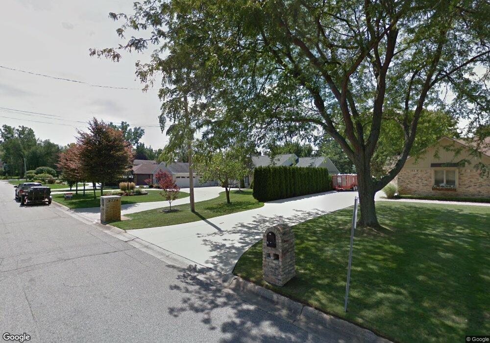
9774 Burning Tree Dr Unit Bldg-Unit Grand Blanc, MI 48439
Estimated Value: $502,306 - $778,000
3
Beds
4
Baths
3,594
Sq Ft
$169/Sq Ft
Est. Value
About This Home
This home is located at 9774 Burning Tree Dr Unit Bldg-Unit, Grand Blanc, MI 48439 and is currently estimated at $607,327, approximately $168 per square foot. 9774 Burning Tree Dr Unit Bldg-Unit is a home located in Genesee County with nearby schools including Cook Elementary School, Mason Elementary School, and Grand Blanc East Middle School.
Ownership History
Date
Name
Owned For
Owner Type
Purchase Details
Closed on
Apr 27, 2018
Sold by
Marshall John W and Marshall Mary C
Bought by
Viisger Alan
Current Estimated Value
Home Financials for this Owner
Home Financials are based on the most recent Mortgage that was taken out on this home.
Original Mortgage
$762,000
Outstanding Balance
$648,782
Interest Rate
4.02%
Mortgage Type
Adjustable Rate Mortgage/ARM
Estimated Equity
-$41,455
Purchase Details
Closed on
Jun 22, 2011
Sold by
Marshall John W and Marshall Mary C
Bought by
Marshall John W and Marshall Mary C
Purchase Details
Closed on
Jul 10, 2001
Sold by
Almeida Debra R
Bought by
Marshall John W and Marshall Mary C
Purchase Details
Closed on
Mar 11, 1999
Sold by
Almeida Peter
Bought by
Almeida Debra R
Create a Home Valuation Report for This Property
The Home Valuation Report is an in-depth analysis detailing your home's value as well as a comparison with similar homes in the area
Home Values in the Area
Average Home Value in this Area
Purchase History
| Date | Buyer | Sale Price | Title Company |
|---|---|---|---|
| Viisger Alan | $400,500 | Mason Burgess Title Agency | |
| Marshall John W | -- | None Available | |
| Marshall John W | $322,500 | Sargents Title Company | |
| Almeida Debra R | -- | -- |
Source: Public Records
Mortgage History
| Date | Status | Borrower | Loan Amount |
|---|---|---|---|
| Open | Viisger Alan | $762,000 |
Source: Public Records
Tax History Compared to Growth
Tax History
| Year | Tax Paid | Tax Assessment Tax Assessment Total Assessment is a certain percentage of the fair market value that is determined by local assessors to be the total taxable value of land and additions on the property. | Land | Improvement |
|---|---|---|---|---|
| 2025 | $8,375 | $244,200 | $0 | $0 |
| 2024 | $5,089 | $232,500 | $0 | $0 |
| 2023 | $4,855 | $224,700 | $0 | $0 |
| 2022 | $7,469 | $184,200 | $0 | $0 |
| 2021 | $7,349 | $178,000 | $0 | $0 |
| 2020 | $4,845 | $204,400 | $0 | $0 |
| 2019 | $4,511 | $176,200 | $0 | $0 |
| 2018 | $6,411 | $209,200 | $0 | $0 |
| 2017 | $6,070 | $214,200 | $0 | $0 |
| 2016 | $6,018 | $212,900 | $0 | $0 |
| 2015 | $5,734 | $170,800 | $0 | $0 |
| 2012 | -- | $149,000 | $149,000 | $0 |
Source: Public Records
Map
Nearby Homes
- 9818 Burning Tree Dr
- 9705 Burning Tree Dr
- 9310 Fairway Trail
- 6016 Plantation Dr
- 5239 E Baldwin Rd
- 5270 Fairway Trail
- 6320 Knob Bend Dr
- 6326 Knob Bend Dr
- 5215 Sunlyn Dr
- 6264 Muirfield Dr Unit 14
- 5378 Warwick Trail Unit 16
- 6263 Knob Bend Dr
- 6286 Merion Ln Unit 75
- 0 Green Tree Dr
- 9095 S Saginaw Rd Unit 10
- 5166 Warwick Woods Trail Unit 13
- 10195 Golfside Dr
- 74 Westwood Dr
- 75 Westwood Dr
- 9270 Hidden Valley Ct
- 9774 Burning Tree Dr
- 9786 Burning Tree Dr
- 9766 Burning Tree Dr
- 9777 Burning Tree Dr
- 9756 Burning Tree Dr
- 9802 Burning Tree Dr
- 9767 Burning Tree Dr
- 9787 Burning Tree Dr
- 9757 Burning Tree Dr
- 9801 Burning Tree Dr
- 9744 Burning Tree Dr
- 9747 Burning Tree Dr
- 9811 Burning Tree Dr
- 9836 Burning Tree Dr
- 9732 Burning Tree Dr Unit Bldg-Unit
- 9732 Burning Tree Dr
- 6009 E Baldwin Rd
- 9735 Burning Tree Dr
- 9823 Burning Tree Dr
- 9720 Burning Tree Dr