9778 Crest Rd New Freedom, PA 17349
Estimated Value: $305,000 - $447,541
3
Beds
3
Baths
1,982
Sq Ft
$204/Sq Ft
Est. Value
About This Home
This home is located at 9778 Crest Rd, New Freedom, PA 17349 and is currently estimated at $404,385, approximately $204 per square foot. 9778 Crest Rd is a home located in York County with nearby schools including Loganville-Springfield Elementary School, Dallastown Area Middle School, and Dallastown Area High School.
Ownership History
Date
Name
Owned For
Owner Type
Purchase Details
Closed on
Dec 17, 2018
Sold by
Cornertone Investment Group Llc
Bought by
Thomas Kathryn T
Current Estimated Value
Home Financials for this Owner
Home Financials are based on the most recent Mortgage that was taken out on this home.
Original Mortgage
$202,500
Outstanding Balance
$178,763
Interest Rate
4.9%
Mortgage Type
New Conventional
Estimated Equity
$225,622
Purchase Details
Closed on
Oct 1, 2018
Sold by
Munchel Charles C
Bought by
Conrerstone Investments Group Llc
Purchase Details
Closed on
Jun 1, 1984
Bought by
Munchel Charles C
Create a Home Valuation Report for This Property
The Home Valuation Report is an in-depth analysis detailing your home's value as well as a comparison with similar homes in the area
Home Values in the Area
Average Home Value in this Area
Purchase History
| Date | Buyer | Sale Price | Title Company |
|---|---|---|---|
| Thomas Kathryn T | $225,000 | None Available | |
| Conrerstone Investments Group Llc | $160,000 | None Available | |
| Munchel Charles C | $20,500 | -- |
Source: Public Records
Mortgage History
| Date | Status | Borrower | Loan Amount |
|---|---|---|---|
| Open | Thomas Kathryn T | $202,500 |
Source: Public Records
Tax History Compared to Growth
Tax History
| Year | Tax Paid | Tax Assessment Tax Assessment Total Assessment is a certain percentage of the fair market value that is determined by local assessors to be the total taxable value of land and additions on the property. | Land | Improvement |
|---|---|---|---|---|
| 2025 | $7,223 | $213,480 | $63,940 | $149,540 |
| 2024 | $7,117 | $213,480 | $63,940 | $149,540 |
| 2023 | $7,117 | $213,480 | $63,940 | $149,540 |
| 2022 | $6,880 | $213,480 | $63,940 | $149,540 |
| 2021 | $6,471 | $213,480 | $63,940 | $149,540 |
| 2020 | $6,471 | $213,480 | $63,940 | $149,540 |
| 2019 | $6,449 | $213,480 | $63,940 | $149,540 |
| 2018 | $6,449 | $213,480 | $63,940 | $149,540 |
| 2017 | $6,293 | $213,480 | $63,940 | $149,540 |
| 2016 | $0 | $213,480 | $63,940 | $149,540 |
| 2015 | -- | $213,480 | $63,940 | $149,540 |
| 2014 | -- | $213,480 | $63,940 | $149,540 |
Source: Public Records
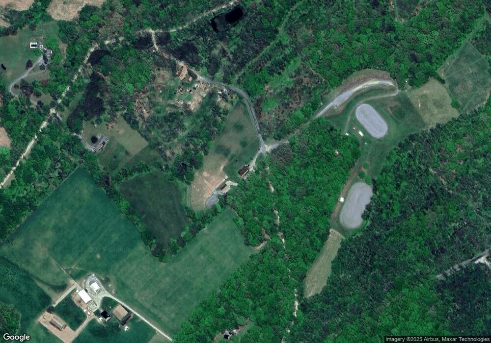
Map
Nearby Homes
- 10293 Mount Zion Rd
- 1680 Wood Crest Ln
- 1175 Potosi Rd
- 12568 Mount Olivet Rd
- 3456 Seaks Run Rd
- 3263 Graydon Rd
- 0 Oak Ridge Ave
- 13846 Ridge Rd
- 11201-11207 Susquehanna Trail S
- 171 Barclay Ln
- 1903 Hain Rd
- 8219 Lehman Rd
- 9353 Camp Rd
- 13859 Ebaugh Rd
- 12344 Susquehanna Trail S
- 12109 Woodland Dr
- 0 Swamp Hollow Ln
- 9263 E Springfield Rd
- 116 Carbridge Rd W
- 932 Raver Rd
- 9819 Park Rd
- 10015 Holly Hill Ln
- 9820 Park Rd
- 9996 Holly Hill Ln
- 8831 Mt Zion Rd
- 9856 Holly Hill Ln
- Lot 2 Potosi Rd
- 2796 Potosi Rd
- 2885 Potosi Rd
- 2760 Potosi Rd
- 2740 Potosi Rd
- 2705 Potosi Rd
- 2600 Taylor Ln
- 0 Mount Zion Rd
- Lot 3 Potosi Rd
- 000 Taylor Hill
- 10435 Park Rd
- 9284 Mount Zion Rd
- 1699 Wood Crest Ln
- 10185 Mount Zion Rd