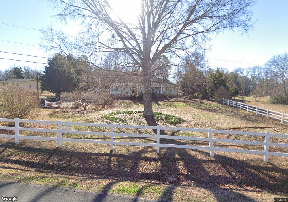
978 Abrams Rd SE Silver Creek, GA 30173
Estimated Value: $238,000 - $321,000
--
Bed
--
Bath
2,159
Sq Ft
$126/Sq Ft
Est. Value
About This Home
This home is located at 978 Abrams Rd SE, Silver Creek, GA 30173 and is currently estimated at $272,416, approximately $126 per square foot. 978 Abrams Rd SE is a home located in Floyd County with nearby schools including Pepperell Middle School and Pepperell High School.
Ownership History
Date
Name
Owned For
Owner Type
Purchase Details
Closed on
Jan 7, 2016
Sold by
Swinford R Mather
Bought by
Swinford R Mather and Swinford Carolyn O
Current Estimated Value
Purchase Details
Closed on
May 10, 1982
Sold by
P and R
Bought by
P and R
Purchase Details
Closed on
Jun 29, 1977
Sold by
Morgan Jackson D
Bought by
Swinford Swinford R and Swinford Carolyn
Purchase Details
Closed on
May 12, 1977
Sold by
Thomas Joe V
Bought by
Morgan Jackson D
Purchase Details
Closed on
Sep 1, 1976
Bought by
Thomas Joe V
Create a Home Valuation Report for This Property
The Home Valuation Report is an in-depth analysis detailing your home's value as well as a comparison with similar homes in the area
Home Values in the Area
Average Home Value in this Area
Purchase History
| Date | Buyer | Sale Price | Title Company |
|---|---|---|---|
| Swinford R Mather | -- | -- | |
| P | -- | -- | |
| Swinford Swinford R | $42,000 | -- | |
| Morgan Jackson D | $36,000 | -- | |
| Thomas Joe V | $2,300 | -- |
Source: Public Records
Tax History Compared to Growth
Tax History
| Year | Tax Paid | Tax Assessment Tax Assessment Total Assessment is a certain percentage of the fair market value that is determined by local assessors to be the total taxable value of land and additions on the property. | Land | Improvement |
|---|---|---|---|---|
| 2024 | $1,565 | $108,723 | $10,560 | $98,163 |
| 2023 | $1,344 | $95,290 | $9,600 | $85,690 |
| 2022 | $919 | $84,625 | $7,920 | $76,705 |
| 2021 | $656 | $57,320 | $7,209 | $50,111 |
| 2020 | $487 | $47,652 | $6,268 | $41,384 |
| 2019 | $430 | $45,196 | $6,268 | $38,928 |
| 2018 | $380 | $42,413 | $5,970 | $36,443 |
| 2017 | $345 | $40,514 | $5,528 | $34,986 |
| 2016 | $340 | $39,480 | $5,520 | $33,960 |
| 2015 | -- | $39,480 | $5,520 | $33,960 |
| 2014 | -- | $39,480 | $5,520 | $33,960 |
Source: Public Records
Map
Nearby Homes
- 1337 Abrams Rd SE
- 52 Lloyd Dr SE
- 1894 Wax Rd SE
- 2557 Wax Rd SE
- 622 Harmony Rd SE
- 1591 Wax Rd SE
- 389 Taylorsville Rd
- 389 Taylorsville Rd Unit T2
- 16 Hardin Dr SE
- 894 Wax Rd SE
- 838 Pleasant Hope Rd SE
- 682 Wax Rd SE
- 1561 Pleasant Valley Rd SE
- 355 Pleasant Hope Rd SE
- 320 Brumbelow Rd
- 2011 Bailey Rd SE
- 0 Powell Rd SE Unit 10606945
- 150 Pleasant Hope Rd SE
- 504 Rockmart Rd SE
- 421 Wax Rd SE
- 994 Abrams Rd SE
- 971 Abrams Rd SE
- 1015 Abrams Rd SE
- 1019 Abrams Rd SE
- 91 Plemons Rd
- 1051 Abrams Rd SE
- 1042 Abrams Rd SE
- 1042 Abrams Rd SE
- 1042 Abrams Rd SE
- 91 Plemons Rd SE
- 91 Plemons Rd SE
- 1073 Abrams Rd SE
- 101 Plemons Rd SE
- 1096 Abrams Rd SE
- 1087 Abrams Rd SE
- 1099 Abrams Rd SE
- 1106 Abrams Rd SE
- 1095 Abrams Rd SE
- 125 Plemons Rd SE
- 1109 Abrams Rd SE