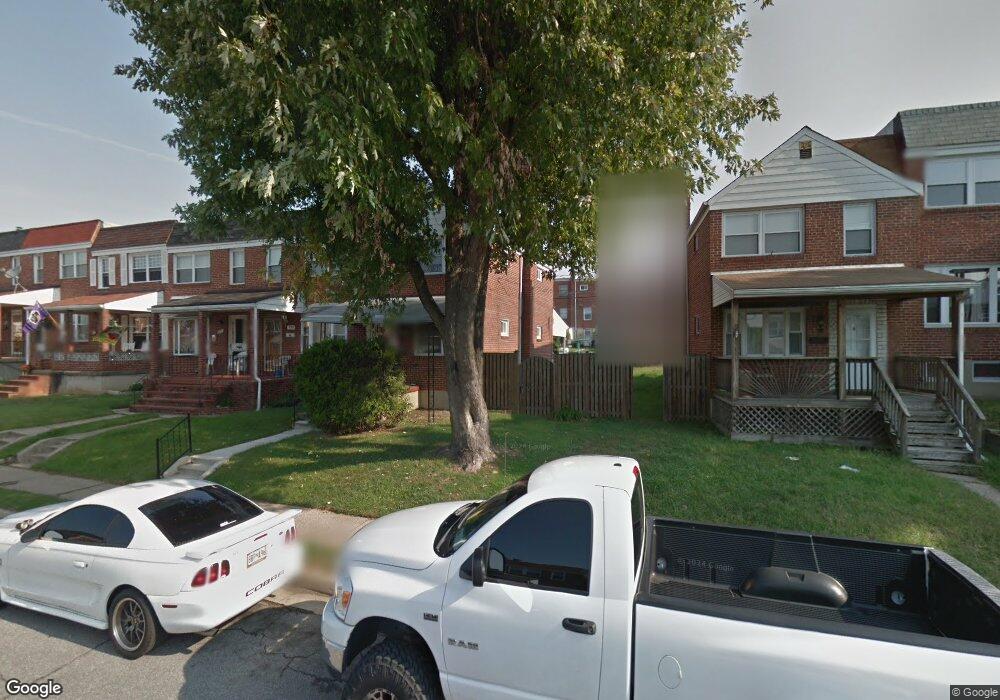
978 Dalton Ave Baltimore, MD 21224
Estimated Value: $150,000 - $182,000
3
Beds
1
Bath
1,056
Sq Ft
$162/Sq Ft
Est. Value
About This Home
This home is located at 978 Dalton Ave, Baltimore, MD 21224 and is currently estimated at $171,560, approximately $162 per square foot. 978 Dalton Ave is a home located in Baltimore County with nearby schools including Berkshire Elementary School, Holabird Middle School, and Patapsco High & Center for Arts.
Ownership History
Date
Name
Owned For
Owner Type
Purchase Details
Closed on
Jul 14, 2011
Sold by
Kraft Richard A
Bought by
Conway Richard C
Current Estimated Value
Home Financials for this Owner
Home Financials are based on the most recent Mortgage that was taken out on this home.
Original Mortgage
$50,000
Outstanding Balance
$3,771
Interest Rate
4.6%
Mortgage Type
New Conventional
Estimated Equity
$167,789
Purchase Details
Closed on
Jun 27, 2011
Sold by
Kraft Richard A
Bought by
Conway Richard C
Home Financials for this Owner
Home Financials are based on the most recent Mortgage that was taken out on this home.
Original Mortgage
$50,000
Outstanding Balance
$3,771
Interest Rate
4.6%
Mortgage Type
New Conventional
Estimated Equity
$167,789
Purchase Details
Closed on
Dec 9, 1974
Sold by
Gove Philip Leslie
Bought by
Kraft Richard A
Create a Home Valuation Report for This Property
The Home Valuation Report is an in-depth analysis detailing your home's value as well as a comparison with similar homes in the area
Home Values in the Area
Average Home Value in this Area
Purchase History
| Date | Buyer | Sale Price | Title Company |
|---|---|---|---|
| Conway Richard C | $79,900 | -- | |
| Conway Richard C | $79,900 | -- | |
| Conway Richard C | $79,900 | -- | |
| Conway Richard C | $79,900 | -- | |
| Kraft Richard A | $23,000 | -- |
Source: Public Records
Mortgage History
| Date | Status | Borrower | Loan Amount |
|---|---|---|---|
| Open | Conway Richard C | $50,000 | |
| Closed | Conway Richard C | $50,000 |
Source: Public Records
Tax History
| Year | Tax Paid | Tax Assessment Tax Assessment Total Assessment is a certain percentage of the fair market value that is determined by local assessors to be the total taxable value of land and additions on the property. | Land | Improvement |
|---|---|---|---|---|
| 2025 | $2,143 | $141,300 | -- | -- |
| 2024 | $2,143 | $128,900 | $0 | $0 |
| 2023 | $938 | $116,500 | $32,000 | $84,500 |
| 2022 | $1,822 | $114,700 | $0 | $0 |
| 2021 | $1,749 | $112,900 | $0 | $0 |
| 2020 | $1,749 | $111,100 | $32,000 | $79,100 |
| 2019 | $1,715 | $108,467 | $0 | $0 |
| 2018 | $1,717 | $105,833 | $0 | $0 |
| 2017 | $1,574 | $103,200 | $0 | $0 |
| 2016 | $1,320 | $92,167 | $0 | $0 |
| 2015 | $1,320 | $81,133 | $0 | $0 |
| 2014 | $1,320 | $70,100 | $0 | $0 |
Source: Public Records
Map
Nearby Homes
- 7428 Poplar Ave
- 900 N Point Rd
- 7506 Belmont Ave
- 7416 Poplar Ave
- 7412 Poplar Ave
- 7627 Carson Ave
- 7412 Belmont Ave
- 7406 Poplar Ave
- 7404 Poplar Ave
- 7503 Cypress Ave
- 619 N Point Rd
- 7552 Rabon Ave
- 7503 Riddle Ave
- 1213 Willow Rd
- 1237 Willow Rd
- 1205 N Point Rd
- 8031 Bank St
- 874 Mildred Ave
- 8049 Lansdale Rd
- 8013 Gough St
Your Personal Tour Guide
Ask me questions while you tour the home.