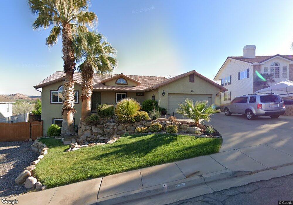
978 W 680 N Saint George, UT 84770
Estimated Value: $524,000 - $673,000
7
Beds
3
Baths
3,395
Sq Ft
$173/Sq Ft
Est. Value
About This Home
This home is located at 978 W 680 N, Saint George, UT 84770 and is currently estimated at $587,772, approximately $173 per square foot. 978 W 680 N is a home located in Washington County with nearby schools including Sunset School, Snow Canyon Middle School, and Lava Ridge Intermediate School.
Ownership History
Date
Name
Owned For
Owner Type
Purchase Details
Closed on
Jan 5, 2021
Sold by
Rhoads Kristen M and Rhoads Mark C
Bought by
Rhoads Mark C and Rhoads Kristen M
Current Estimated Value
Home Financials for this Owner
Home Financials are based on the most recent Mortgage that was taken out on this home.
Original Mortgage
$254,000
Interest Rate
2.7%
Mortgage Type
New Conventional
Purchase Details
Closed on
Dec 22, 2020
Sold by
Rhoads Mark C and Rhoads Kristen M
Bought by
Rhoads Mark C and Rhoads Kristen M
Home Financials for this Owner
Home Financials are based on the most recent Mortgage that was taken out on this home.
Original Mortgage
$254,000
Interest Rate
2.7%
Mortgage Type
New Conventional
Purchase Details
Closed on
Sep 16, 2005
Sold by
Fielding David D and Fielding Randalyn W
Bought by
Day Scott and Day Nanette R
Create a Home Valuation Report for This Property
The Home Valuation Report is an in-depth analysis detailing your home's value as well as a comparison with similar homes in the area
Home Values in the Area
Average Home Value in this Area
Purchase History
| Date | Buyer | Sale Price | Title Company |
|---|---|---|---|
| Rhoads Mark C | -- | Solidifi Title Agency Of Uta | |
| Rhoads Kristen M | -- | Solidifi Title Agency Of Uta | |
| Rhoads Mark C | -- | None Available | |
| Day Scott | -- | Southern Utah Title Co |
Source: Public Records
Mortgage History
| Date | Status | Borrower | Loan Amount |
|---|---|---|---|
| Previous Owner | Rhoads Kristen M | $254,000 |
Source: Public Records
Tax History Compared to Growth
Tax History
| Year | Tax Paid | Tax Assessment Tax Assessment Total Assessment is a certain percentage of the fair market value that is determined by local assessors to be the total taxable value of land and additions on the property. | Land | Improvement |
|---|---|---|---|---|
| 2025 | $2,040 | $305,470 | $78,650 | $226,820 |
| 2023 | $2,198 | $328,350 | $72,600 | $255,750 |
| 2022 | $2,388 | $335,500 | $60,500 | $275,000 |
| 2021 | $2,059 | $431,500 | $90,000 | $341,500 |
| 2020 | $1,713 | $338,100 | $70,000 | $268,100 |
| 2019 | $1,821 | $351,000 | $70,000 | $281,000 |
| 2018 | $1,730 | $167,200 | $0 | $0 |
| 2017 | $1,535 | $148,335 | $0 | $0 |
| 2016 | $1,612 | $144,100 | $0 | $0 |
| 2015 | $1,422 | $121,935 | $0 | $0 |
| 2014 | $1,415 | $122,100 | $0 | $0 |
Source: Public Records
Map
Nearby Homes
- 692 N 1000 W
- 709 N 1000 W
- 588 N 950 W
- 845 N Valley View Dr Unit 201
- 592 N 1050 W
- 568 N 950 W
- 781 N Valley View Dr Unit 30
- 567 Ridgeview Dr
- 1244 W 620 Cir N
- 438 N Stone Mountain Dr Unit 47
- 438 N Stone Mountain Dr Unit 45
- 438 N Stone Mountain Dr Unit 59
- 438 N Stone Mountain Dr Unit 17
- 453 Northridge Ave
- 468 Ridgeview Dr
- 727 N 1275 W
- 1040 N 1300 W Unit 66
- 1040 N 1300 W Unit 7
- 1040 N 1300 W Unit 40
- 1385 W 625 North St