978 W Walnut St Canal Winchester, OH 43110
--
Bed
--
Bath
3,200
Sq Ft
1.24
Acres
About This Home
This home is located at 978 W Walnut St, Canal Winchester, OH 43110. 978 W Walnut St is a home located in Franklin County with nearby schools including Winchester Trail Elementary School, Indian Trail Elementary School, and Canal Winchester Middle School.
Ownership History
Date
Name
Owned For
Owner Type
Purchase Details
Closed on
Apr 20, 2022
Sold by
Hoffman and Karen
Bought by
Tk Hoffman Properties Llc
Purchase Details
Closed on
May 13, 1997
Sold by
Damod Inc
Bought by
Flowers Wayne A and Flowers Peggy A
Home Financials for this Owner
Home Financials are based on the most recent Mortgage that was taken out on this home.
Original Mortgage
$100,000
Interest Rate
8.24%
Mortgage Type
Construction
Purchase Details
Closed on
May 1, 1989
Purchase Details
Closed on
Jan 1, 1984
Create a Home Valuation Report for This Property
The Home Valuation Report is an in-depth analysis detailing your home's value as well as a comparison with similar homes in the area
Home Values in the Area
Average Home Value in this Area
Purchase History
| Date | Buyer | Sale Price | Title Company |
|---|---|---|---|
| Tk Hoffman Properties Llc | -- | Dagger Johnston Miller Ogilvie | |
| Flowers Wayne A | $45,000 | Connor Title Co | |
| -- | $28,000 | -- | |
| -- | -- | -- |
Source: Public Records
Mortgage History
| Date | Status | Borrower | Loan Amount |
|---|---|---|---|
| Previous Owner | Flowers Wayne A | $100,000 |
Source: Public Records
Tax History Compared to Growth
Tax History
| Year | Tax Paid | Tax Assessment Tax Assessment Total Assessment is a certain percentage of the fair market value that is determined by local assessors to be the total taxable value of land and additions on the property. | Land | Improvement |
|---|---|---|---|---|
| 2024 | $7,419 | $99,120 | $39,130 | $59,990 |
| 2023 | $7,391 | $99,120 | $39,130 | $59,990 |
| 2022 | $8,026 | $96,570 | $37,490 | $59,080 |
| 2021 | $8,161 | $96,570 | $37,490 | $59,080 |
| 2020 | $8,113 | $96,570 | $37,490 | $59,080 |
| 2019 | $7,957 | $84,000 | $32,620 | $51,380 |
| 2018 | $7,905 | $84,000 | $32,620 | $51,380 |
| 2017 | $7,909 | $84,000 | $32,620 | $51,380 |
| 2016 | $8,095 | $84,000 | $32,620 | $51,380 |
| 2015 | $8,116 | $84,000 | $32,620 | $51,380 |
| 2014 | $7,670 | $84,000 | $32,620 | $51,380 |
| 2013 | $4,324 | $95,970 | $32,620 | $63,350 |
Source: Public Records
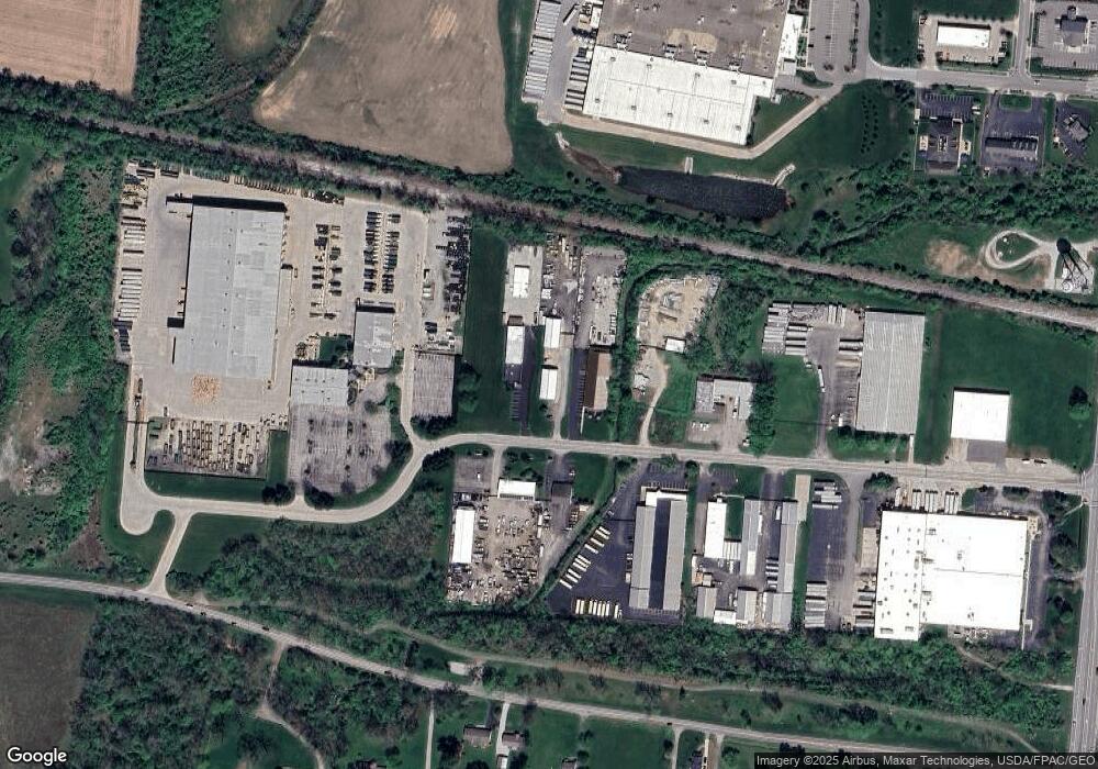
Map
Nearby Homes
- 963 Groveport Rd
- 6910 Canal St
- 0 Groveport Rd
- 6470 Fox Hill Dr
- 6571 Hemmingford Dr
- 6558 Hemmingford Dr
- 6516 Lakeview Cir Unit 6516
- 6430 Rossmore Ln
- 560 Winchester Pike
- 6185 Dietz Dr
- 7412 Connor Ct
- 6641 Steen St
- 6668 Cherry Bend
- 359 W Waterloo St
- 7170 Seymour Ct
- 0 Chesterville Dr Unit 225032463
- 338 Chesterville Dr
- 6723 Alex Dr
- 6216 Meriden Ct
- 7362 Bromfield Dr
- 970 W Walnut St
- 960 W Walnut St
- 0 W Walnut St
- 93 Gender Rd
- 974 Groveport Rd
- 974 Groveport Rd
- 985 Groveport Rd
- 941 Groveport Rd
- 870 W Walnut St
- 913 Groveport Rd
- 1007 Groveport Rd
- 995 Groveport Rd
- 1037 Groveport Rd
- 859 Groveport Rd
- 865 Groveport Rd
- 4941 Gender Rd
- 4965 Gender Rd
- 849 Groveport Rd
- 2820 Groveport Pike
- 829 Groveport Rd