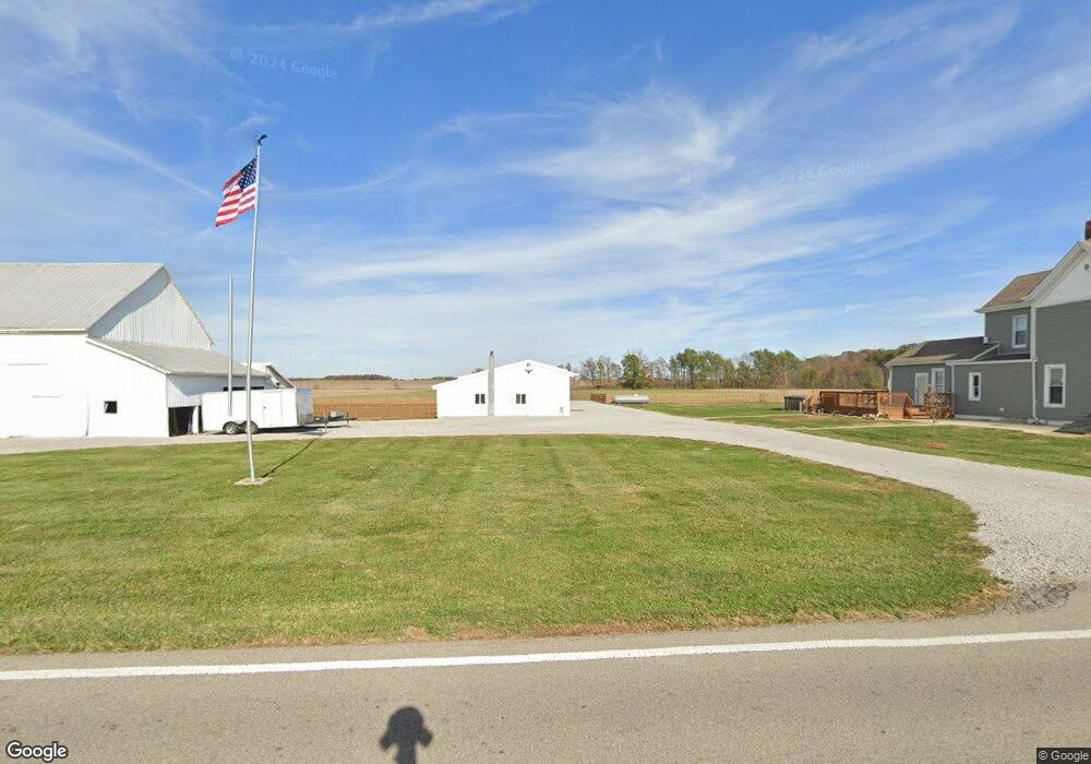
9781 N State Route 123 Blanchester, OH 45107
Estimated Value: $159,000 - $403,000
4
Beds
1
Bath
2,134
Sq Ft
$141/Sq Ft
Est. Value
About This Home
This home is located at 9781 N State Route 123, Blanchester, OH 45107 and is currently estimated at $301,941, approximately $141 per square foot. 9781 N State Route 123 is a home located in Clinton County with nearby schools including Cross Roads Elementary School, Putman Elementary School, and Blanchester Middle School.
Ownership History
Date
Name
Owned For
Owner Type
Purchase Details
Closed on
Mar 27, 2023
Sold by
Polston Jaime K
Bought by
Polston Gabriel
Current Estimated Value
Purchase Details
Closed on
Sep 14, 2017
Sold by
Polston Michael A and Polston Lois A
Bought by
Polston Gabriel Hinkle
Purchase Details
Closed on
May 24, 2016
Sold by
Crawford Jason and Crawford Jenny
Bought by
Polston Michael A and Polston Lois A
Create a Home Valuation Report for This Property
The Home Valuation Report is an in-depth analysis detailing your home's value as well as a comparison with similar homes in the area
Home Values in the Area
Average Home Value in this Area
Purchase History
| Date | Buyer | Sale Price | Title Company |
|---|---|---|---|
| Polston Gabriel | $166 | None Listed On Document | |
| Polston Gabriel Hinkle | $73,500 | Attorney | |
| Polston Michael A | $73,500 | Attorney |
Source: Public Records
Tax History Compared to Growth
Tax History
| Year | Tax Paid | Tax Assessment Tax Assessment Total Assessment is a certain percentage of the fair market value that is determined by local assessors to be the total taxable value of land and additions on the property. | Land | Improvement |
|---|---|---|---|---|
| 2024 | $2,303 | $90,170 | $37,770 | $52,400 |
| 2023 | $2,303 | $90,130 | $37,730 | $52,400 |
| 2022 | $2,086 | $55,350 | $18,460 | $36,890 |
| 2021 | $2,199 | $55,350 | $18,460 | $36,890 |
| 2020 | $2,192 | $55,350 | $18,460 | $36,890 |
| 2019 | $1,927 | $48,150 | $18,460 | $29,690 |
| 2018 | $4,238 | $48,150 | $18,460 | $29,690 |
| 2017 | $1,892 | $48,150 | $18,460 | $29,690 |
| 2016 | $1,633 | $41,770 | $18,110 | $23,660 |
| 2015 | $1,608 | $41,770 | $18,110 | $23,660 |
| 2013 | $1,646 | $41,390 | $18,110 | $23,280 |
Source: Public Records
Map
Nearby Homes
- C Cherry St
- 2011 Fayetteville Rd
- B Cherry St
- 7484 Fairground Rd
- 7478 Fairground Rd
- 21411 Fayetteville Rd
- 21602 Woodville Rd
- 5458 Oak Grove Ave
- 5000 Sean Cir
- 5010 Sean Cir
- 5003 Sean Cir
- 5001 Sean Cir
- 5002 Sean Cir
- 6027 Sean Cir
- 0 Ohio 123 Unit 11 938995
- 0 Ohio 123 Unit 1848086
- 128 W Burroughs St
- 315 Rayford St
- 503 S Broadway St
- 107 Central Ave
- 9781 N State Route 123
- 16.860ac Ohio 123
- 436 Curless Rd
- 710 Curless Rd
- 123 Sr
- 0 St Rt 123 Unit 9 1220913
- 0 St Rt 123 Unit Lot 9 1250199
- 0 St Rt 123 Unit 1305833
- 6.25ac Ohio 123
- 0 St Rt 123 Unit 1675576
- 2619 McJunkin Rd
- 704 McJunkin Rd
- 8896 N State Route 123
- 644 McJunkin Rd
- 2579 McJunkin Rd
- 8835 N State Route 123
- 8806 N State Route 123
- 0 Curless Rd Unit 1354652
- 542 McJunkin Rd
- 8786 N State Route 123