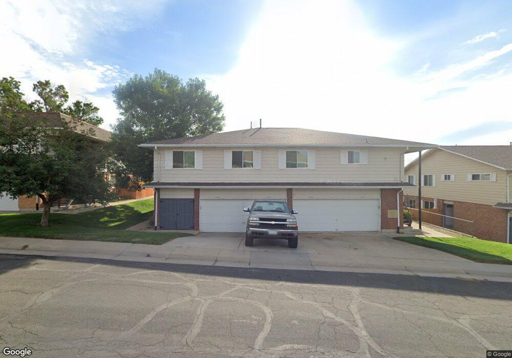
9784 Appletree Place Thornton, CO 80260
Hillcrest NeighborhoodEstimated Value: $283,000 - $297,000
2
Beds
2
Baths
1,161
Sq Ft
$248/Sq Ft
Est. Value
About This Home
This home is located at 9784 Appletree Place, Thornton, CO 80260 and is currently estimated at $288,375, approximately $248 per square foot. 9784 Appletree Place is a home located in Adams County with nearby schools including Hillcrest Elementary School, Silver Hills Middle School, and Northglenn High School.
Ownership History
Date
Name
Owned For
Owner Type
Purchase Details
Closed on
May 5, 2004
Sold by
Blair Richard R
Bought by
Jones John L
Current Estimated Value
Home Financials for this Owner
Home Financials are based on the most recent Mortgage that was taken out on this home.
Original Mortgage
$111,065
Outstanding Balance
$50,060
Interest Rate
5.38%
Mortgage Type
FHA
Estimated Equity
$238,315
Purchase Details
Closed on
Jul 13, 2000
Sold by
Kay Moeller Connie
Bought by
Blair Richard R
Create a Home Valuation Report for This Property
The Home Valuation Report is an in-depth analysis detailing your home's value as well as a comparison with similar homes in the area
Home Values in the Area
Average Home Value in this Area
Purchase History
| Date | Buyer | Sale Price | Title Company |
|---|---|---|---|
| Jones John L | $114,500 | Colorado National Title | |
| Blair Richard R | -- | -- |
Source: Public Records
Mortgage History
| Date | Status | Borrower | Loan Amount |
|---|---|---|---|
| Open | Jones John L | $111,065 |
Source: Public Records
Tax History
| Year | Tax Paid | Tax Assessment Tax Assessment Total Assessment is a certain percentage of the fair market value that is determined by local assessors to be the total taxable value of land and additions on the property. | Land | Improvement |
|---|---|---|---|---|
| 2025 | $1,007 | $19,790 | $4,350 | $15,440 |
| 2024 | $1,007 | $18,190 | $4,000 | $14,190 |
| 2023 | $997 | $20,230 | $3,110 | $17,120 |
| 2022 | $954 | $15,610 | $3,200 | $12,410 |
| 2021 | $985 | $15,610 | $3,200 | $12,410 |
| 2020 | $1,043 | $16,500 | $3,290 | $13,210 |
| 2019 | $1,045 | $16,500 | $3,290 | $13,210 |
| 2018 | $685 | $11,890 | $610 | $11,280 |
| 2017 | $1,244 | $11,890 | $610 | $11,280 |
| 2016 | $826 | $7,690 | $680 | $7,010 |
| 2015 | $825 | $7,690 | $680 | $7,010 |
| 2014 | $721 | $6,530 | $680 | $5,850 |
Source: Public Records
Map
Nearby Homes
- 9857 Orangewood Dr
- 9884 Appletree Place
- 9848 Appletree Place
- 9864 Orangewood Dr
- 9787 Orangewood Dr
- 9857 Lane St
- 9777 Orangewood Dr
- 9787 Lane St
- 9848 Lane St
- 9842 Lane St
- 9759 Lane St Unit 2718
- 9775 Croke Dr
- 9963 Lane St
- 9769 Croke Dr
- 9947 Croke Dr
- 9850 Croke Dr
- 9830 Croke Dr
- 9960 Croke Dr
- 9648 Lane St
- 10008 Quivas St
- 9788 Appletree Place
- 9786 Appletree Place
- 9782 Appletree Place
- 9842 Appletree Place
- 9846 Appletree Place
- 9844 Appletree Place
- 9776 Appletree Place
- 9774 Appletree Place
- 9772 Appletree Place
- 9772 Appletree Place Unit 9772
- 9778 Appletree Place
- 9823 Orangewood Dr
- 9789 Orangewood Dr
- 9785 Orangewood Dr
- 9783 Orangewood Dr
- 9829 Orangewood Dr
- 9825 Orangewood Dr
- 9827 Orangewood Dr
- 9773 Orangewood Dr
- 9856 Appletree Place
Your Personal Tour Guide
Ask me questions while you tour the home.